MyTopo
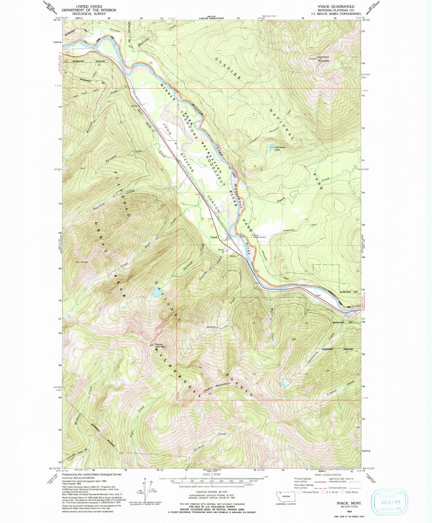
Classic USGS Nyack Montana 7.5'x7.5' Topo Map
Couldn't load pickup availability
Historical USGS topographic quad map of Nyack in the state of Montana. Typical map scale is 1:24,000, but may vary for certain years, if available. Print size: 24" x 27"
This quadrangle is in the following counties: Flathead.
The map contains contour lines, roads, rivers, towns, and lakes. Printed on high-quality waterproof paper with UV fade-resistant inks, and shipped rolled.
Contains the following named places: Loneman Mountain, Deerlick Creek, Cascade Creek, Cascadilla Creek, Great Bear Creek, Halfmoon Lake, Harrison Creek, Loneman Mountain Trail, Moccasin Creek, Nyack, Nyack Creek, Nyack Mountain, Nyack Ranger Station, Mount Penrose, Pyramid Creek, Rescue Creek, Skiumah Creek, Wahoo Creek, Red Eagle, Moccasin Boat Landing, Nyack, Nyack School (historical), Nyack Post Office (historical), Flathead Wild and Scenic River