MyTopo
Classic USGS Nyala Nevada 7.5'x7.5' Topo Map
Regular price
$16.95
Regular price
Sale price
$16.95
Unit price
per
Couldn't load pickup availability
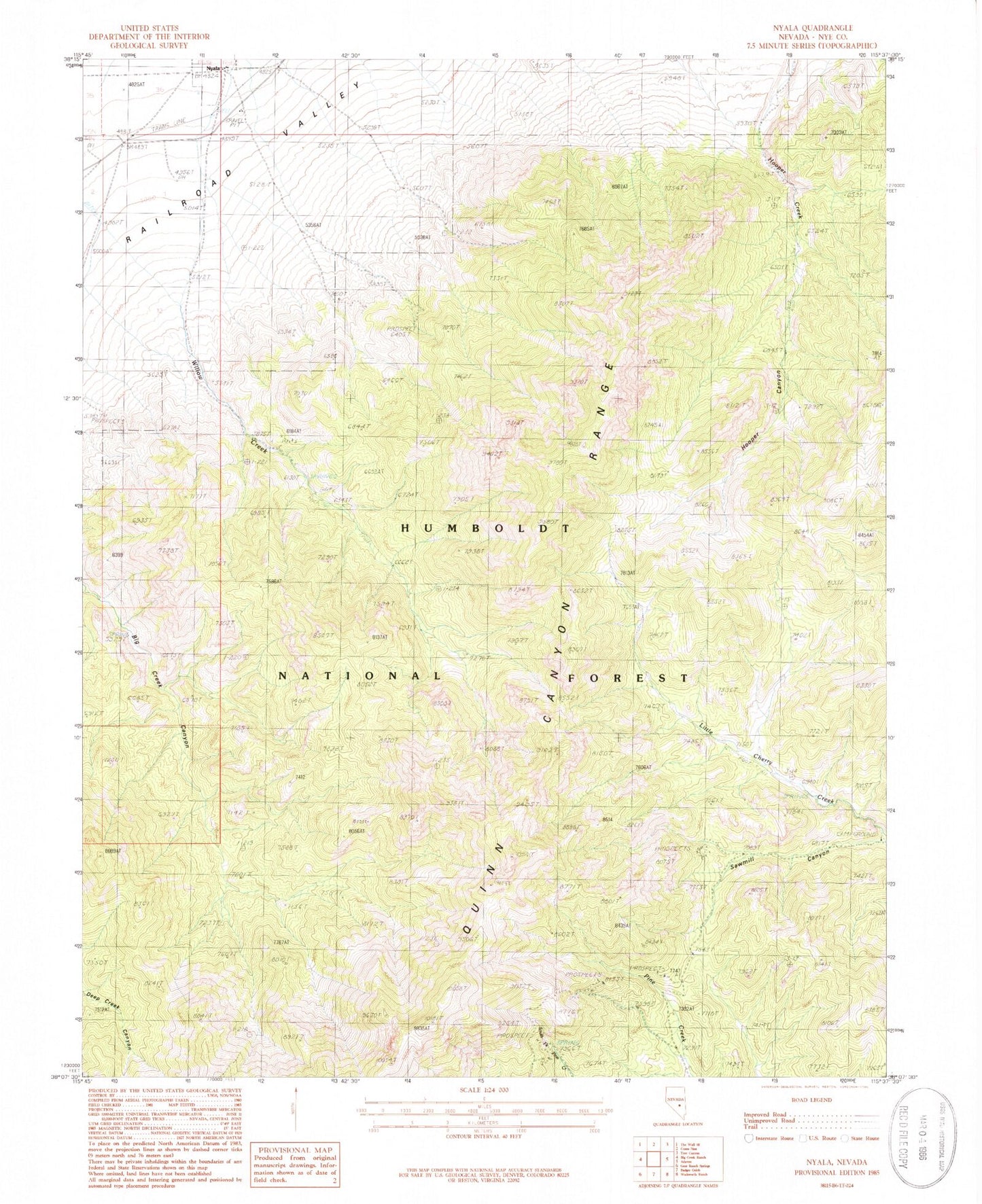
Historical USGS topographic quad map of Nyala in the state of Nevada. Map scale may vary for some years, but is generally around 1:24,000. Print size is approximately 24" x 27"
This quadrangle is in the following counties: Nye.
The map contains contour lines, roads, rivers, towns, and lakes. Printed on high-quality waterproof paper with UV fade-resistant inks, and shipped rolled.
Contains the following named places: Cherry Creek Forest Service Recreation Site, Grouse Spring, Hooper Canyon, Mamouth Mine, Mayflower Mine, Melbourne Mine, Monitor Spring, Nyala, Nyala Post Office, Queen of the West Mine, Quinn Canyon Wilderness, Sharp Ranch, Troy Mountain, Willow Creek, Willow Creek Canyon, Willow Creek Mine