MyTopo
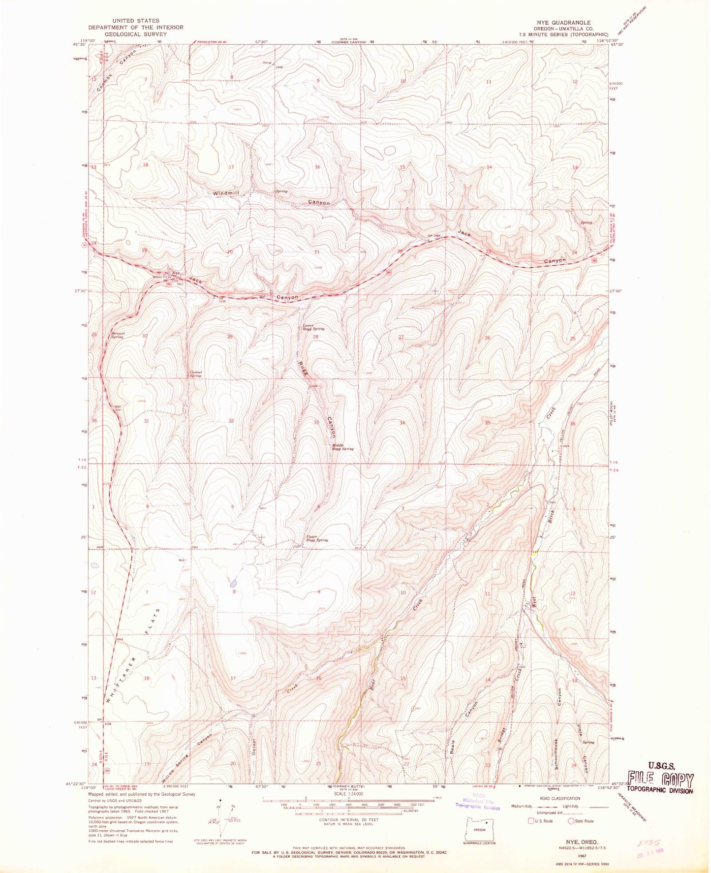
Classic USGS Nye Oregon 7.5'x7.5' Topo Map
Regular price
$16.95
Regular price
Sale price
$16.95
Unit price
per
Couldn't load pickup availability
Historical USGS topographic quad map of Nye in the state of Oregon. Map scale may vary for some years, but is generally around 1:24,000. Print size is approximately 24" x 27"
This quadrangle is in the following counties: Umatilla.
The map contains contour lines, roads, rivers, towns, and lakes. Printed on high-quality waterproof paper with UV fade-resistant inks, and shipped rolled.
Contains the following named places: Beale Canyon, Bear Creek, Bill Howell Dam, Bridge Creek, Casteel Spring, Lower Rugg Spring, Middle Rugg Spring, Nye, Nye Post Office, Owings Creek, Rugg Canyon, Schoolhouse Canyon, Stewart Spring, Upper Rugg Spring, Viola Canyon, Whittaker Flats, Willow Spring Canyon, Windmill Canyon