MyTopo
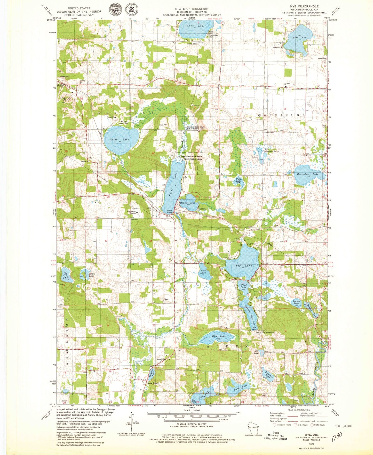
Classic USGS Nye Wisconsin 7.5'x7.5' Topo Map
Couldn't load pickup availability
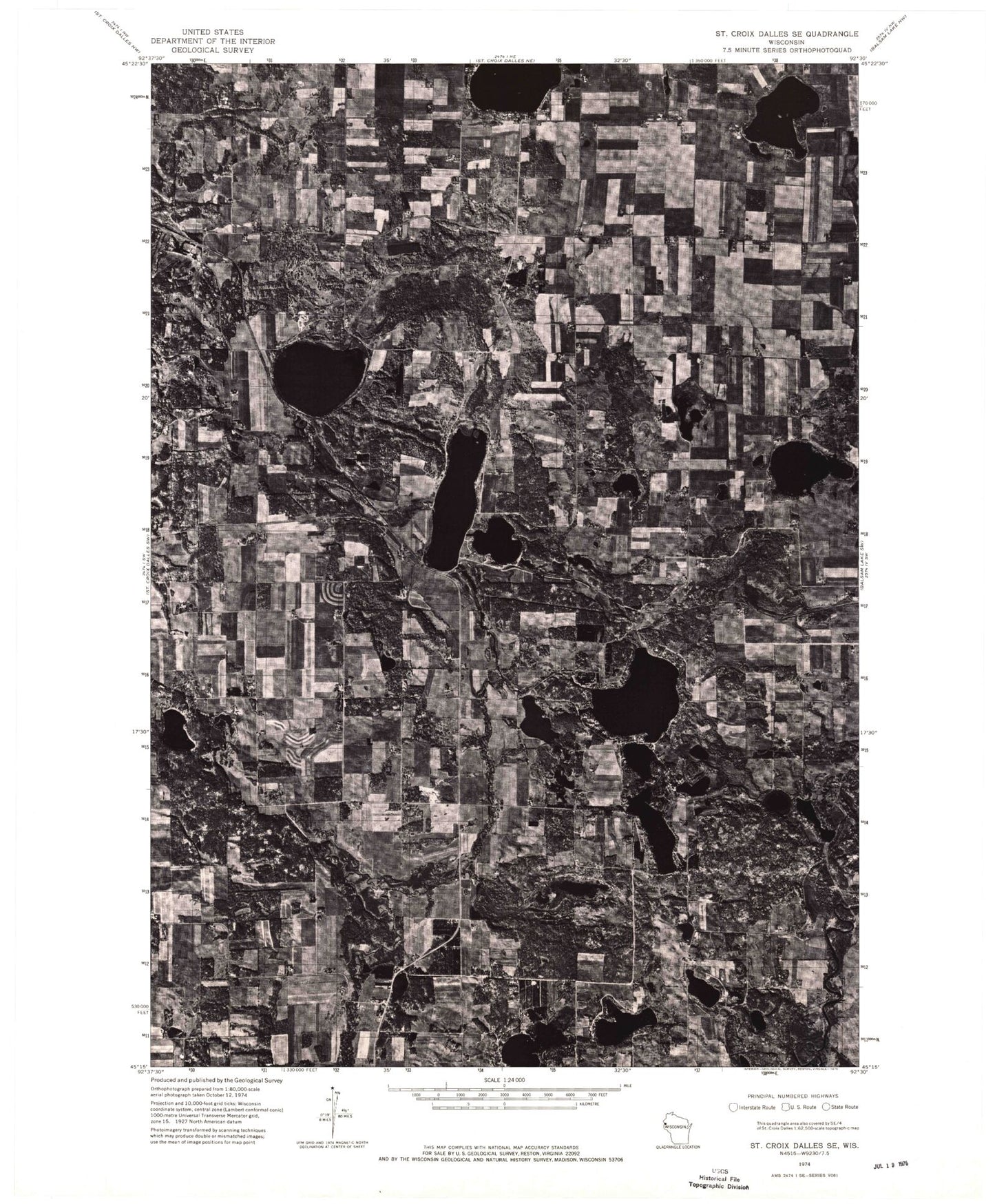
Historical USGS topographic quad map of Nye in the state of Wisconsin. Map scale may vary for some years, but is generally around 1:24,000. Print size is approximately 24" x 27"
This quadrangle is in the following counties: Polk.
The map contains contour lines, roads, rivers, towns, and lakes. Printed on high-quality waterproof paper with UV fade-resistant inks, and shipped rolled.
Contains the following named places: Bear Lake, Behning Creek, Behning Creek State Public Fishing Area, Big Lake, Church Pine Lake, Duck Lake, El Salem Cemetery, El Salem Church, El Salem School, Grace Church, Horse Creek, Horse Lake, Horseshoe Lake, Island Lake, Larsen Lake, Lee Lake, Little Horseshoe Lake, Lotus Lake, Lotus Lake County Park, Mansen Lake, Meadowview School, Mud Lake, Nye, Paulsen Lake, Pine Lake, Pine Lake School, Pleasant Lake, Polk County Lime Quarry, Rice Creek, Rice Lake, Round Lake, Sand Lake, Sand Lake Cemetery, St Croix Valley Airport, Surprise Lake, Swede Lake, Town of Alden, Town of Osceola, Ubet, Ubet School, Viking Gas Transmission Co Heliport, West Immanuel Church, Wind Lake, ZIP Code: 54009


