MyTopo
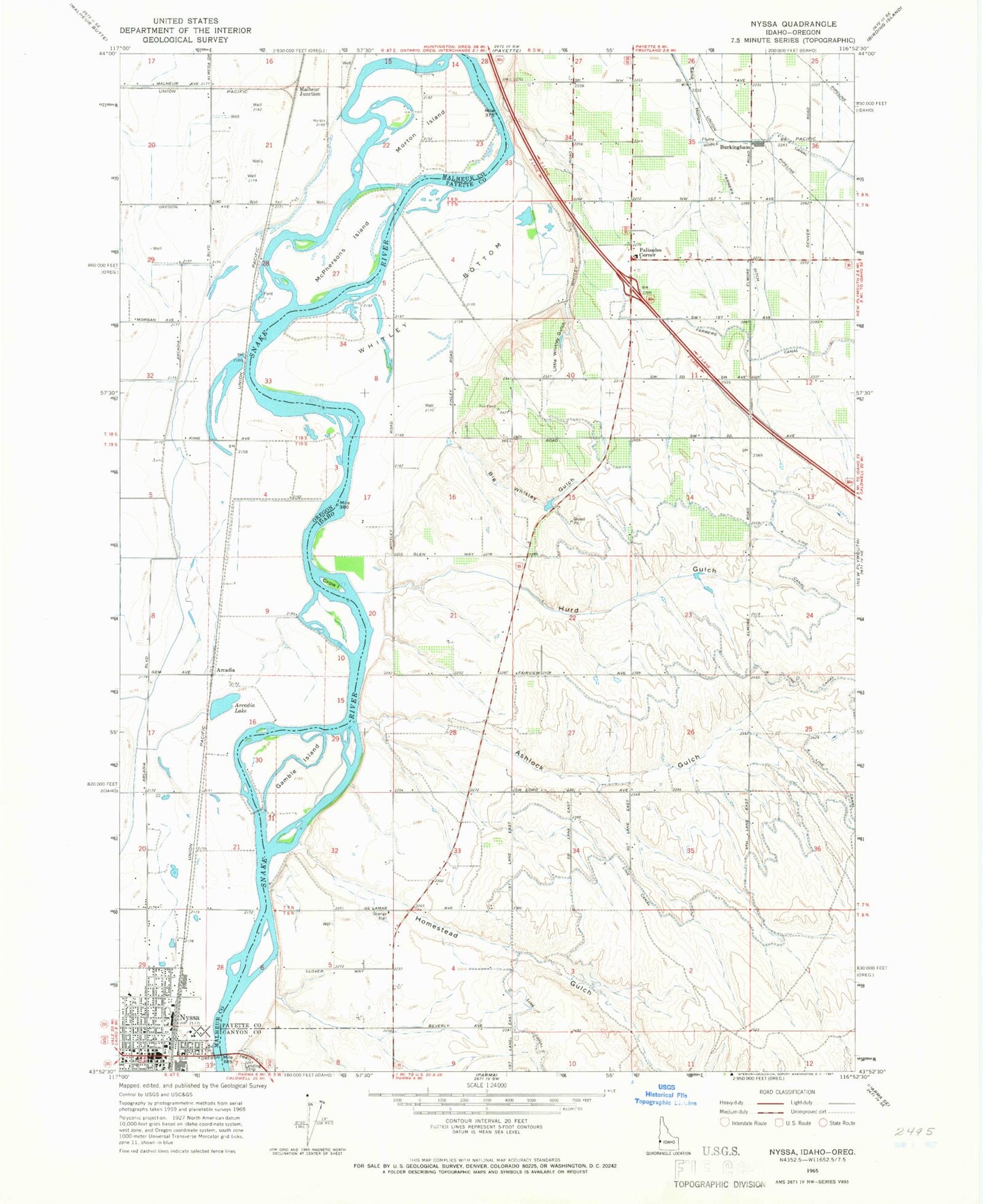
Classic USGS Nyssa Oregon 7.5'x7.5' Topo Map
Couldn't load pickup availability
Historical USGS topographic quad map of Nyssa in the states of Oregon, Idaho. Map scale may vary for some years, but is generally around 1:24,000. Print size is approximately 24" x 27"
This quadrangle is in the following counties: Canyon, Malheur, Payette.
The map contains contour lines, roads, rivers, towns, and lakes. Printed on high-quality waterproof paper with UV fade-resistant inks, and shipped rolled.
Contains the following named places: A Line Canal, Arcadia, Arcadia Lake, Arcadia Post Office, Ashlock Gulch, Big Whitley Gulch, Buckingham, Bybee Field, City of Nyssa, Claude, Crow Island, Fruitland Division, Gamble Island, Homestead Gulch, Hurd Gulch, Lemons Field, Little Whitley Gulch, Malheur Junction, McPhersons Island, Morton Island, Morton Post Office, North Park, Nyssa, Nyssa City Hall, Nyssa City Library, Nyssa City Police Department, Nyssa Fire Department, Nyssa Post Office, Nyssa River Park Boat Ramp, Nyssa Wastewater Treatment Plant, Oregon Trail Agricultural Museum, Palisades Corner, Penn Slough, Perrin Island, Plummer Slough, River Park, Surmeier Dam, Valley View Drain, Whitley Bottom, ZIP Code: 83619