MyTopo
Classic USGS O W Point Arizona 7.5'x7.5' Topo Map
Couldn't load pickup availability
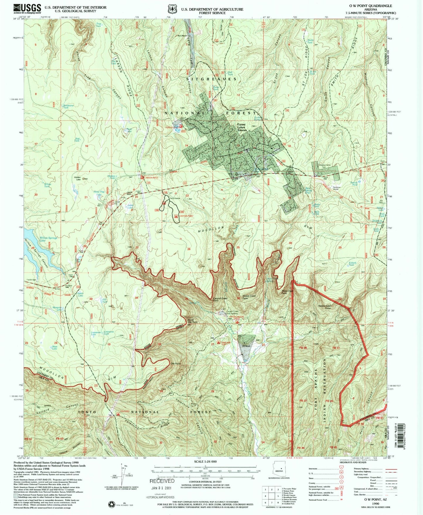
Historical USGS topographic quad map of O W Point in the state of Arizona. Typical map scale is 1:24,000, but may vary for certain years, if available. Print size: 24" x 27"
This quadrangle is in the following counties: Coconino, Gila, Navajo.
The map contains contour lines, roads, rivers, towns, and lakes. Printed on high-quality waterproof paper with UV fade-resistant inks, and shipped rolled.
Contains the following named places: Aspen Lake, Aspen Lake, Canyon Creek Point, Colcord Mountain, Eubank Tank, Hidden Lake, Hidden Lake, Horse Trap Lake, Jacob Lake, Jacob Well, Larson Ridge, Lonesome Lake, Mosquito Lake, Moss Lake, Mule Creek, Mule Spring, Nelson Lake, Nelson Lake Point, North OW Point, OW Point, OW Ranch, Pinto Lake, Ryan Ranch, Saint Joe Ridge, Saint Joe Spring, Sheep Spring, Smith Ridge, Lake Two, Valentine Ridge, Bruno Tank, Canyon Point Recreation Area, Forest Lakes Estates, Mule Tank, Upper Canyon Creek Campground, Mud Tank, Clay Tank, Brad Tank, Double A Tank, Hidden Tank, Home Tank, Lonesome Tank, P51 Tank, Patrick Pond, Poon Tank, Red Tank, Sandstone Tank, Scott Tank, Sink Tank, Smith Tank, Saint Joe Tank, Sheep Creek, Mule Creek Point, Sheep Creek Point, Rainbow Mines, Canyon Creek Fish Hatchery, Airplane Flat Recreation Site, Colcord Recreation Site, Forest Lakes Trailhead, Larson Ridge Trailhead, Colcord Ridge Campground, Airplane Flat Campground, Canyon Point Campground, Forest Lakes Fire Department, Mule Creek Spring, Forest Lakes Census Designated Place


