MyTopo
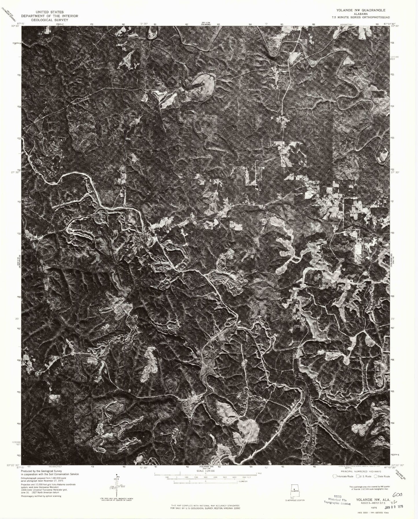
Classic USGS Oak Grove Alabama 7.5'x7.5' Topo Map
Couldn't load pickup availability
Historical USGS topographic quad map of Oak Grove in the state of Alabama. Map scale may vary for some years, but is generally around 1:24,000. Print size is approximately 24" x 27"
This quadrangle is in the following counties: Jefferson, Tuscaloosa.
The map contains contour lines, roads, rivers, towns, and lakes. Printed on high-quality waterproof paper with UV fade-resistant inks, and shipped rolled.
Contains the following named places: Al Hollow, Betty Hill, Bible Church, Big Branch, Big Creek Church, Brushy Branch, Cantrell Branch, Cedar Creek, Concord Fire District Station 3, Dick Gut Branch, Dry Creek, Ezra, Gin Branch, Glen Iris Church, Grindstone Hollow, Ground Hog, Huckleberry Branch, Jess Branch, Jordan Spring Branch, Lick Branch, Linney Hollow, Moulton Branch, Mud Creek, Mud Creek Baptist Church, Nellie Branch, North Johns Division, Oak Grove, Oak Grove Church, Oak Grove Mine, Oak Grove Mine Lake, Oak Grove Mine Lake Dam, Oak Grove School, Oak Grove Second Church, Pit Twentyfive Mine, Razburg, Sanders Creek, Scrap, Sextons Bend, Shoal Creek Church, Smithville Baptist Church, Stanley Branch, Starkey Hollow, Tantrough Branch, The Narrows, Toadvine, Toadvine Cemetery, Toadvine Church, Vines Mill, Woods Creek, ZIP Code: 35006