MyTopo
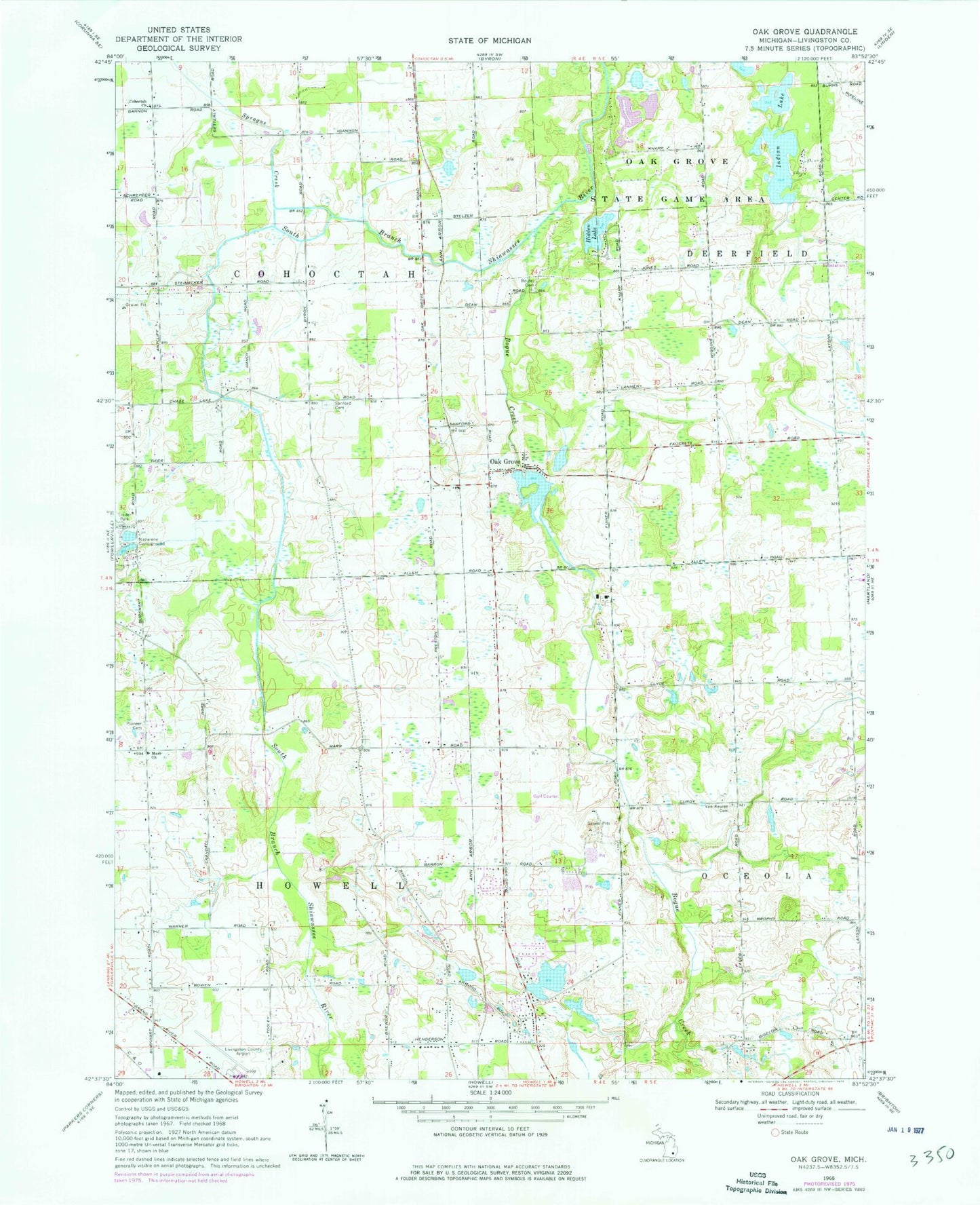
Classic USGS Oak Grove Michigan 7.5'x7.5' Topo Map
Couldn't load pickup availability
Historical USGS topographic quad map of Oak Grove in the state of Michigan. Map scale may vary for some years, but is generally around 1:24,000. Print size is approximately 24" x 27"
This quadrangle is in the following counties: Livingston.
The map contains contour lines, roads, rivers, towns, and lakes. Printed on high-quality waterproof paper with UV fade-resistant inks, and shipped rolled.
Contains the following named places: Bogue Creek, Boutell Cemetery, Cohoctah Church, Dama Farms Golf Course, Frank J Hecox House Historical Marker, Hidden Lake, Hidden Springs Church, Howell Area Fire Department Station 24, Hunters Ridge Golf Course, Hutchings Elementary School, Immanuel Lutheran Church, Indian Lake, Livingston County Emergency Medical Services, Livingston County Spencer J Hardy Airport, Marr Church, Oak Grove, Oak Grove Post Office, Oak Grove State Game Area, Oak Grove Station, Oak Grove United Methodist Church, Pioneer Cemetery, Saint Augustine Church and Cemetery Historical Marker, Sanford Cemetery, Sprague Creek, Taylor's Beach Campground, Township of Cohoctah, Township of Howell, Van Keuren Cemetery, WHMI-FM (Howell), ZIP Code: 48855