MyTopo
Classic USGS Oak Grove Missouri 7.5'x7.5' Topo Map
Couldn't load pickup availability
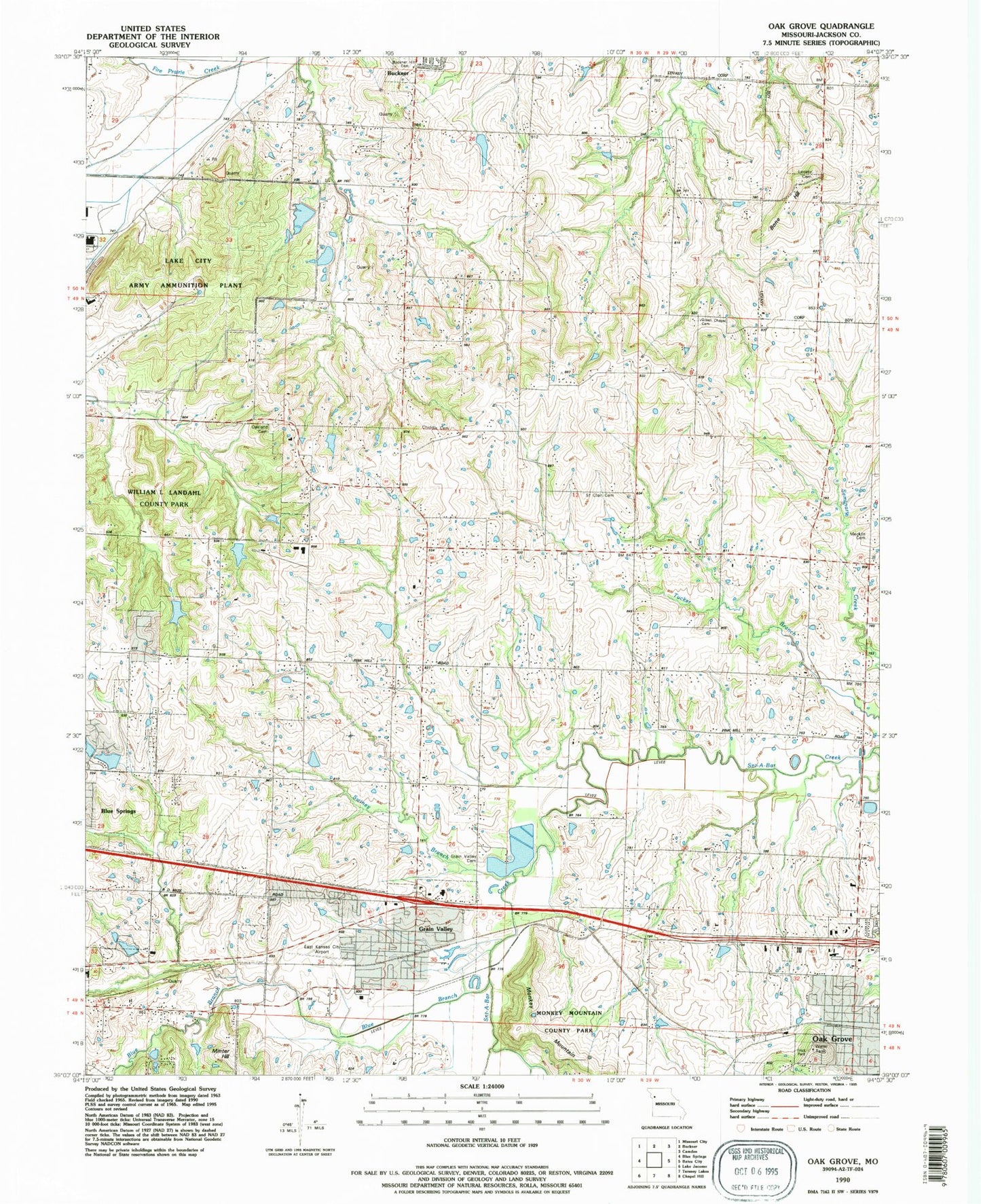
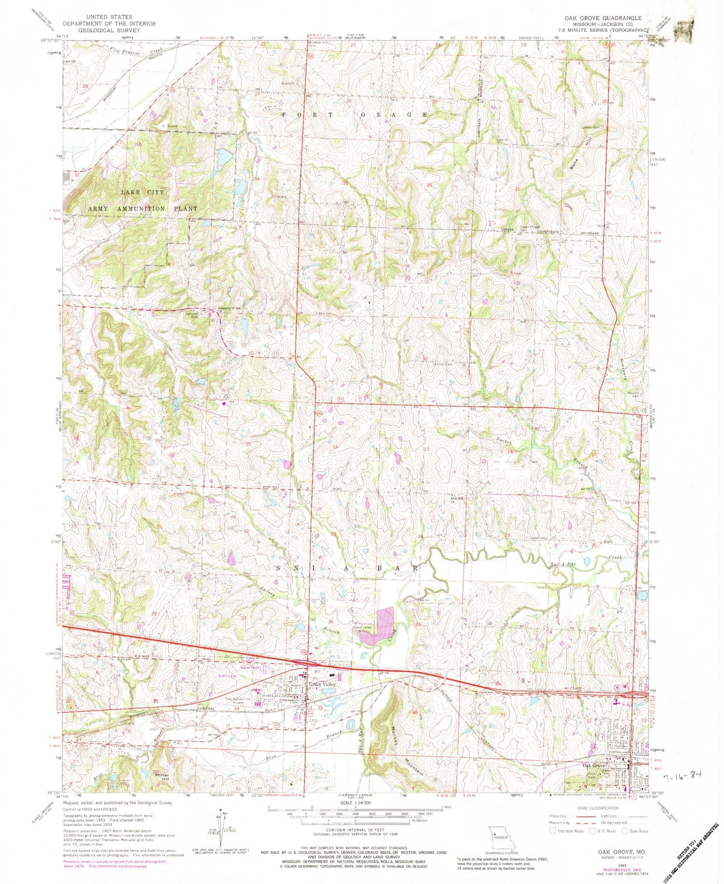
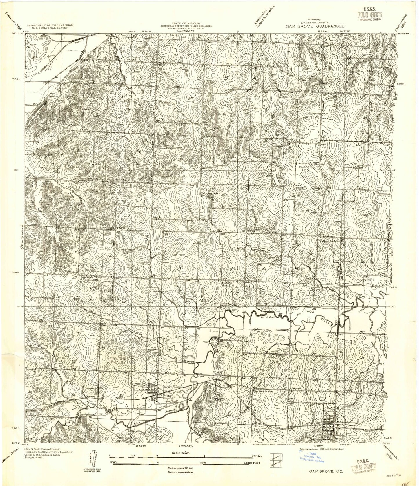
Historical USGS topographic quad map of Oak Grove in the state of Missouri. Typical map scale is 1:24,000, but may vary for certain years, if available. Print size: 24" x 27"
This quadrangle is in the following counties: Jackson.
The map contains contour lines, roads, rivers, towns, and lakes. Printed on high-quality waterproof paper with UV fade-resistant inks, and shipped rolled.
Contains the following named places: Assembly of God Church, Blue Branch, Bone Hill, Chiddix Cemetery, Frick Park, Grain Valley, Grain Valley Cemetery, Green Chapel Cemetery, Levasy Cemetery, Mecklin Cemetery, Minter Hill, Monkey Mountain, Oakland Cemetery, Pink Hill Church, Saint Clair Cemetery, Swiney Branch, Oakland School (historical), Pink Hill, Sunnynook School (historical), Bone Hill School (historical), Glenside School (historical), Murphy School (historical), Mecklin School (historical), Pink Hill School (historical), Elm Grove School (historical), Oak Grove, Hiler, KKJC-AM (Blue Springs), Action Gliderport, East Kansas City Airport, Hiler Post Office, Mershon Lake Dam, Number 77 Lake, Number 78 Dam, Harmon Lake Dam, Number 80 Lake, Quickel Lake Dam, Number 81 Lake, Tharp Orchard Lake Dam, Township of Sni-A-Bar, City of Grain Valley, City of Oak Grove, Grain Valley Post Office, Lake City Army Ammunition Plant, Prairie Branch Elementary School, Oak Grove Middle School, Grain Valley High School, Midwestern Christian Academy, Matthews Elementary School, Sni - a - bar Elementary School, Central Jackson County Fire Protection District Station 4, Washburn Farm Airport, Grain Valley North Middle School, Grain Valley Early Childhood Center, Grain Valley Police Department, Assembly of God Church, Blue Branch, Bone Hill, Chiddix Cemetery, Frick Park, Grain Valley, Grain Valley Cemetery, Green Chapel Cemetery, Levasy Cemetery, Mecklin Cemetery, Minter Hill, Monkey Mountain, Oakland Cemetery, Pink Hill Church, Saint Clair Cemetery, Swiney Branch, Oakland School (historical), Pink Hill, Sunnynook School (historical), Bone Hill School (historical), Glenside School (historical), Murphy School (historical), Mecklin School (historical), Pink Hill School (historical), Elm Grove School (historical), Oak Grove, Hiler, KKJC-AM (Blue Springs), Action Gliderport, East Kansas City Airport, Hiler Post Office, Mershon Lake Dam, Number 77 Lake, Number 78 Dam, Harmon Lake Dam, Number 80 Lake, Quickel Lake Dam, Number 81 Lake, Tharp Orchard Lake Dam, Township of Sni-A-Bar, City of Grain Valley, City of Oak Grove, Grain Valley Post Office, Lake City Army Ammunition Plant, Prairie Branch Elementary School, Oak Grove Middle School, Grain Valley High School, Midwestern Christian Academy, Matthews Elementary School, Sni - a - bar Elementary School, Central Jackson County Fire Protection District Station 4, Washburn Farm Airport, Grain Valley North Middle School, Grain Valley Early Childhood Center, Grain Valley Police Department


