MyTopo
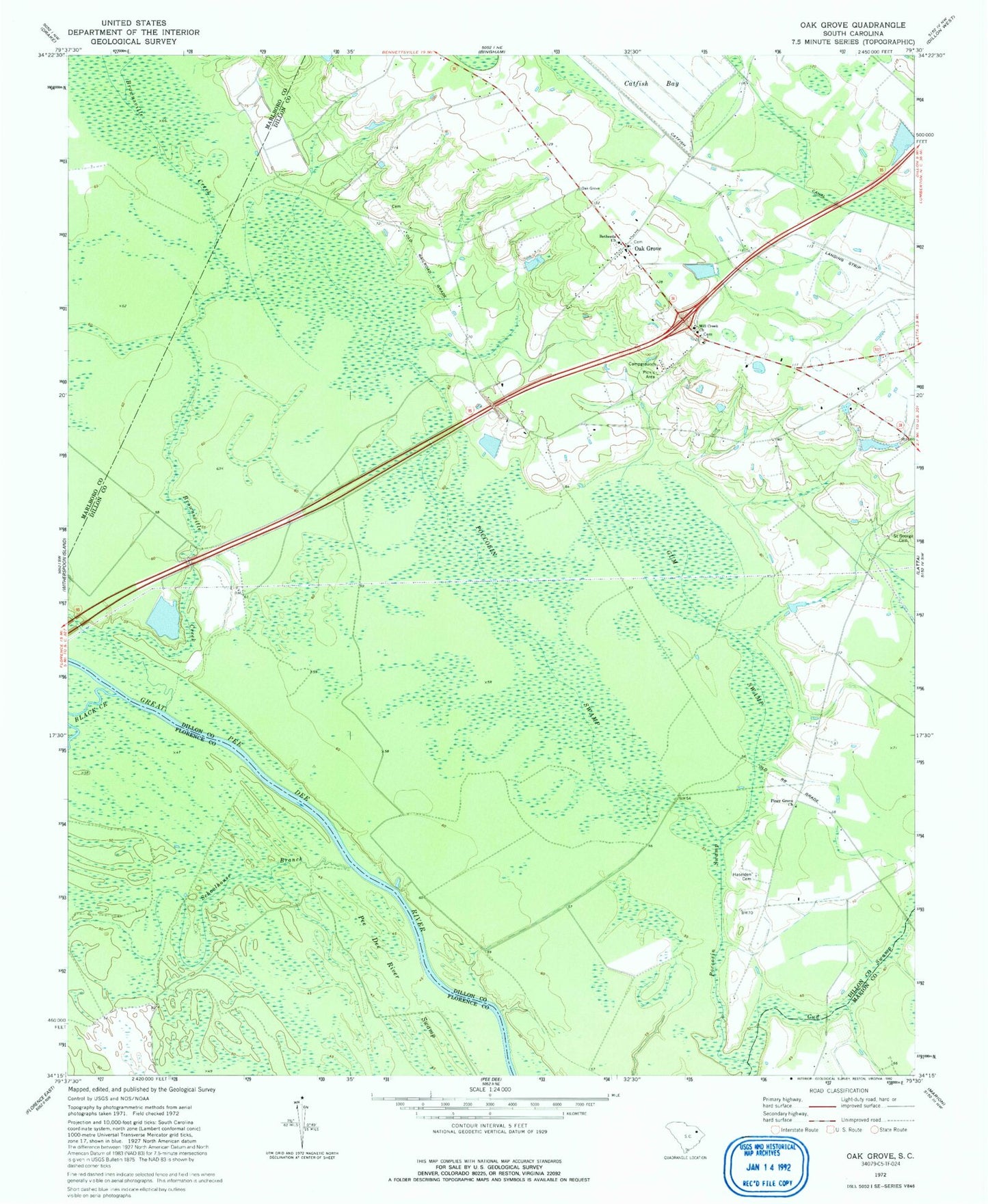
Classic USGS Oak Grove South Carolina 7.5'x7.5' Topo Map
Couldn't load pickup availability
Historical USGS topographic quad map of Oak Grove in the state of South Carolina. Map scale may vary for some years, but is generally around 1:24,000. Print size is approximately 24" x 27"
This quadrangle is in the following counties: Dillon, Florence, Marion, Marlboro.
The map contains contour lines, roads, rivers, towns, and lakes. Printed on high-quality waterproof paper with UV fade-resistant inks, and shipped rolled.
Contains the following named places: Bethesda Church, Bethesda Southern Methodist Church Cemetery, Black Creek, Brownsville Creek, Coleman Pond Dam D-3603, Dillon County Fire Department Station 9, Dunnams Plantation, Fore Pond Dam D-3599, Gum Swamp, Haselden Cemetery, Little Bluff Landing, Mill Creek Church, Oak Grove, Oak Grove Church, Oak Grove School, Piney Grove Church, Poccosin Swamp, Saint George Cemetery, Schoolhouse Branch