MyTopo
Classic USGS Oak Hill Missouri 7.5'x7.5' Topo Map
Couldn't load pickup availability
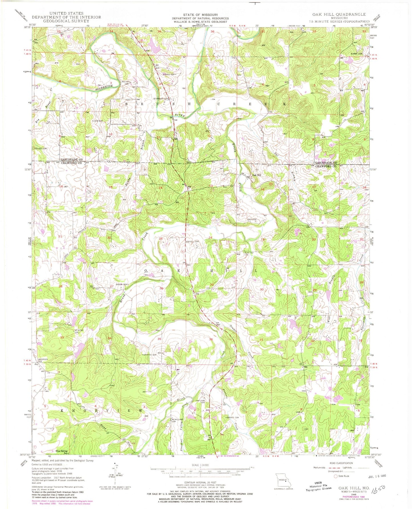
Historical USGS topographic quad map of Oak Hill in the state of Missouri. Map scale may vary for some years, but is generally around 1:24,000. Print size is approximately 24" x 27"
This quadrangle is in the following counties: Crawford, Gasconade.
The map contains contour lines, roads, rivers, towns, and lakes. Printed on high-quality waterproof paper with UV fade-resistant inks, and shipped rolled.
Contains the following named places: Alexander Lake, Alexander Lake Dam, Anderson Cemetery, Aunt Pop Cemetery, Bailey School, Barnes Cemetery, Big River Creek, Bird Sanctuary, Blue Spring School, Brush Creek, Carr Cemetery, Collier Cemetery, Eickhoff Lake, Eickhoff Lake Dam, Forester Lake, Forester Lake Dam, Frerichs Lake Section 22, Frerichs Lake Section 4, Frerichs Lake Section 4 Dam, Frerichs Section 22 Lake Dam, Frericks Section 34 Lake Dam, Gal Branch, Gibson Cemetery, Griffith Cemetery, Hamby Branch, Hamby School, Hamilton Cemetery, Hickory Lake, Hickory Lake Dam, High Point School, Holmstrom South Lake, Holmstrom South Lake Dam, Kohrman Lake Dam, Kozlowski Lake, Kozlowski Lake Dam, Krekder Lake, Krekder Lake Dam, Loeb Cemetery, Mc Intire Cemetery, McWilliams Cemetery, Miller Cemetery, Morris Cemetery, Neill Lake, Neill Lake Dam, Oak Hill, Oak Hill Cemetery, Oak Hill School, Persimmon Pond School, Pinnell Cemetery, Pleasant Valley Creek, Prairie Creek, Ruwwe Cemetery, Schannon Cemetery, Skinner-Sorth-Koch-Kreider Lake, Skinner-Sorth-Koch-Kreider Lake Dam, Souder Creek, Stubblefield Lake, Stubblefield Lake Dam, Taylor Iron Mine, Taylor School, Threemile School, Township of Oak Hill, Vieman, Walker North Lake, Walker North Lake Dam, Walker South Lake, Walker South Lake Dam, West Branch Threemile Creek, Worthington Lake Dam


