MyTopo
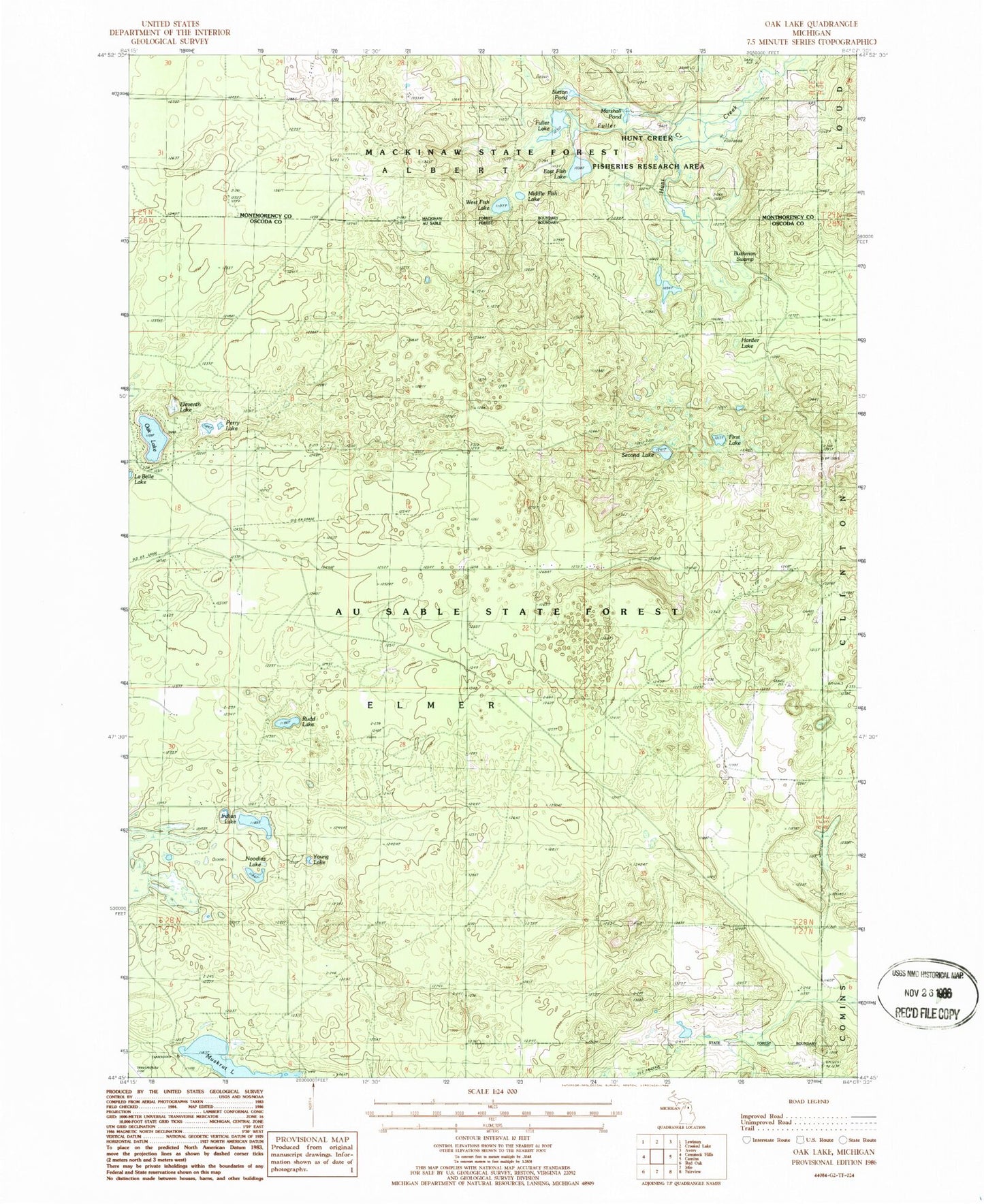
Classic USGS Oak Lake Michigan 7.5'x7.5' Topo Map
Couldn't load pickup availability
Historical USGS topographic quad map of Oak Lake in the state of Michigan. Typical map scale is 1:24,000, but may vary for certain years, if available. Print size: 24" x 27"
This quadrangle is in the following counties: Montmorency, Oscoda.
The map contains contour lines, roads, rivers, towns, and lakes. Printed on high-quality waterproof paper with UV fade-resistant inks, and shipped rolled.
Contains the following named places: Bushman Swamp, East Fish Lake, Eleventh Lake, First Lake, Fuller Creek, Fuller Lake, Harder Lake, Indian Lake, Marshall Pond, Middle Fish Lake, Noodles Lake, Oak Lake, Perry Lake, Rudd Lake, Second Lake, Sutton Pond, West Fish Lake, Young Lake, Muskrat Lake, Township of Elmer, Hunt Creek Fisheries Research Area, Hunt Creek Fisheries Research Area, Muskrat Lake State Forest Campground