MyTopo
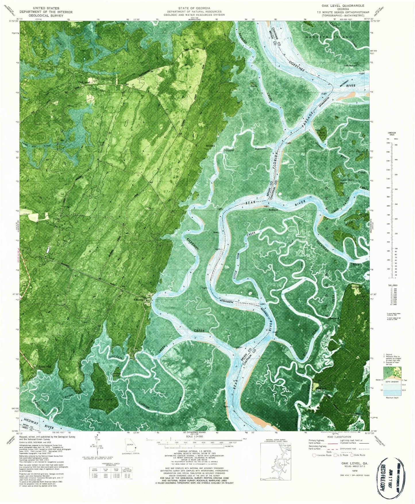
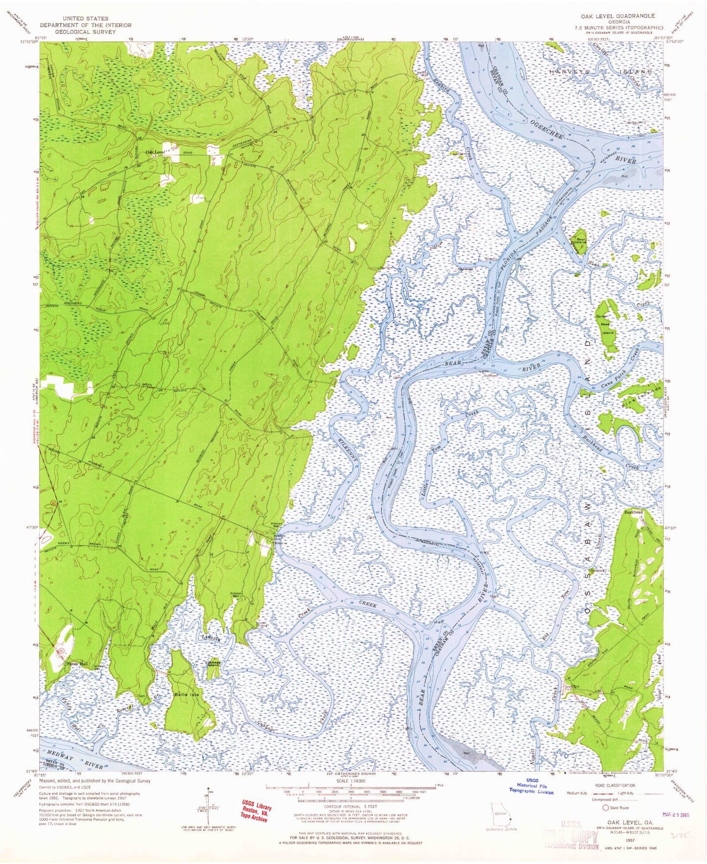
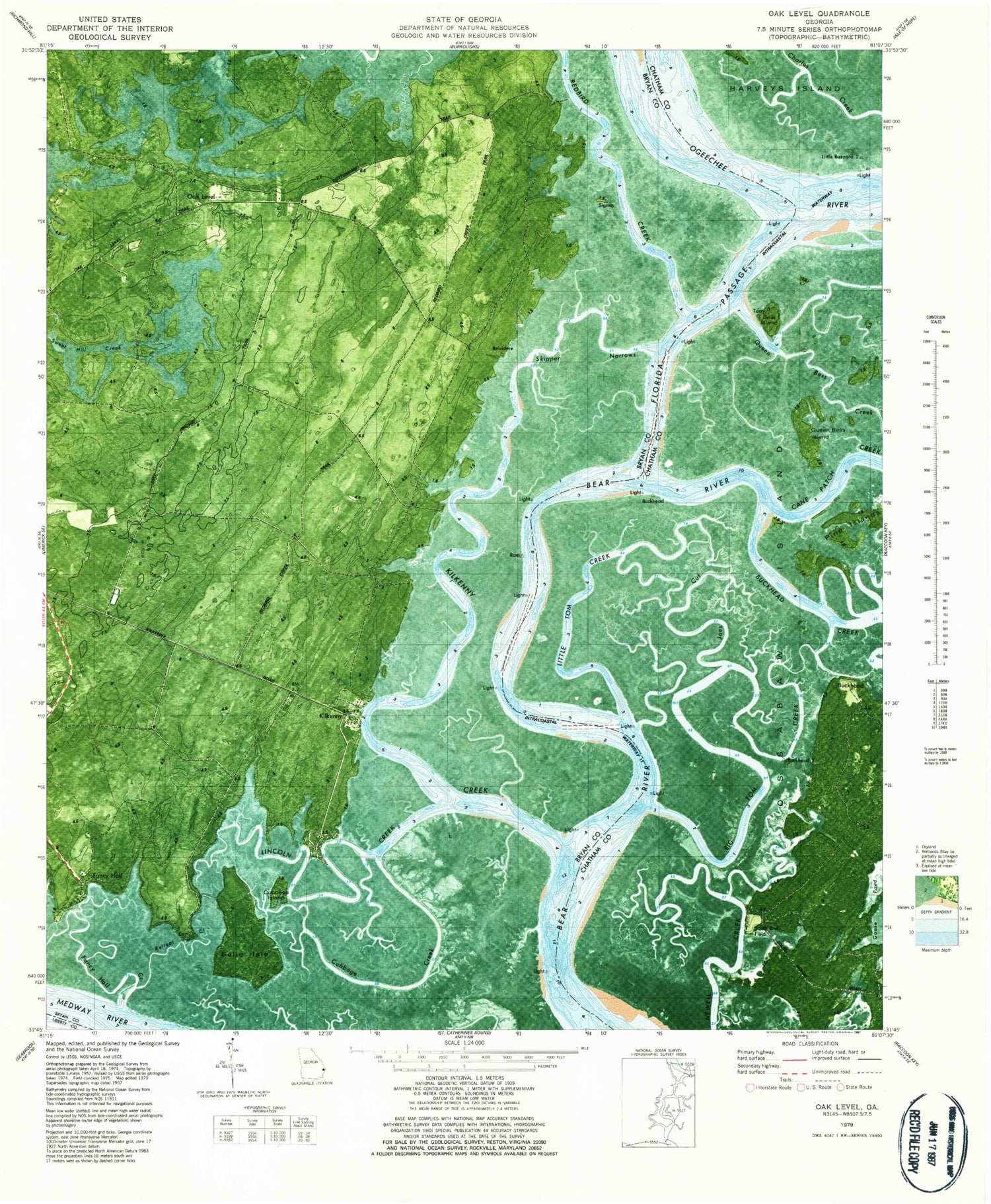
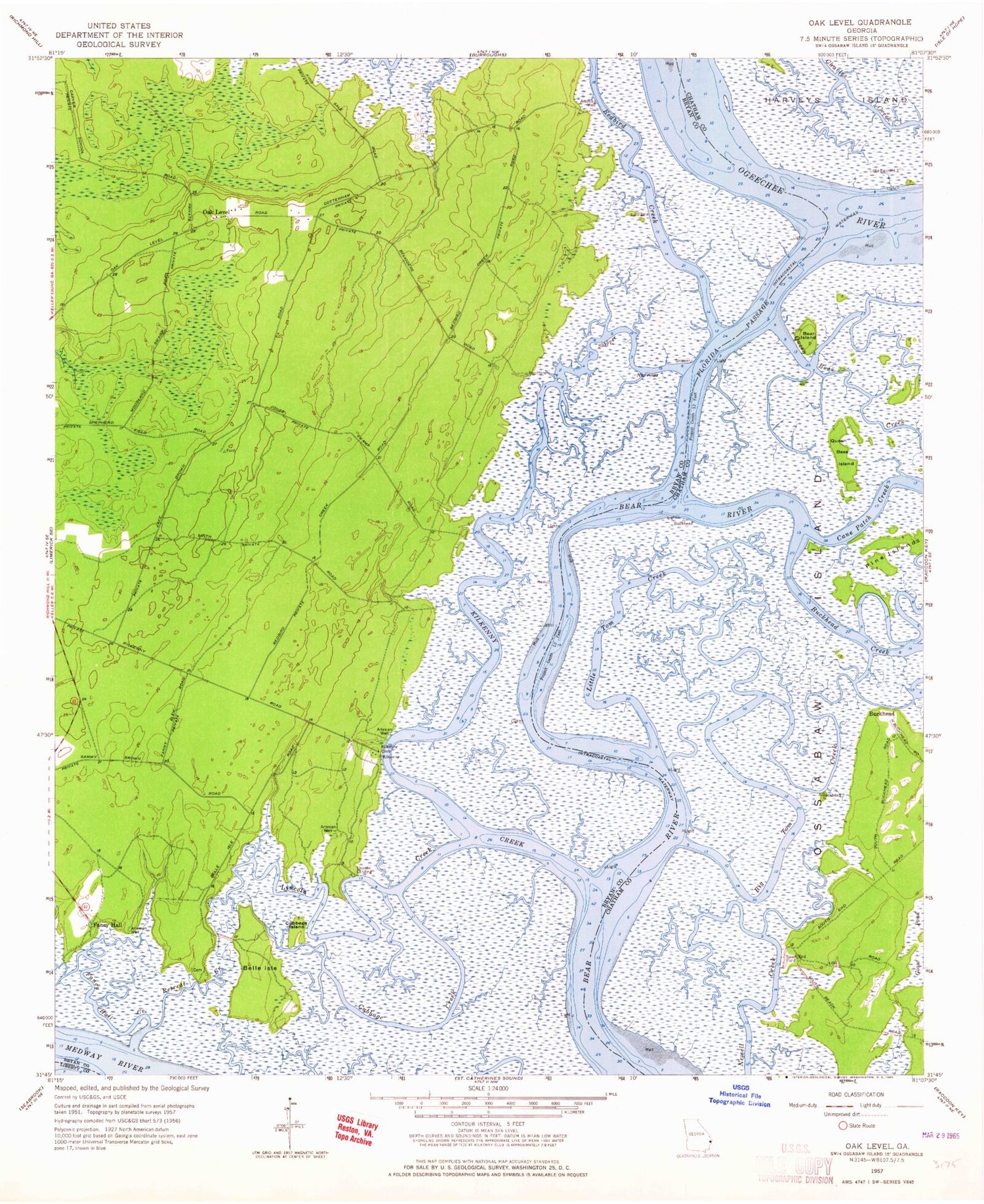
Classic USGS Oak Level Georgia 7.5'x7.5' Topo Map
Couldn't load pickup availability
Historical USGS topographic quad map of Oak Level in the state of Georgia. Map scale may vary for some years, but is generally around 1:24,000. Print size is approximately 24" x 27"
This quadrangle is in the following counties: Bryan, Chatham, Liberty.
The map contains contour lines, roads, rivers, towns, and lakes. Printed on high-quality waterproof paper with UV fade-resistant inks, and shipped rolled.
Contains the following named places: Bear Island, Belle Isle, Big Tom Creek, Buckhead, Buckhead Creek, Cane Patch Creek, Charles Creek, Cottonham, Cubbage Creek, Cubbage Island, Fancy Hall, Fancy Hall Creek, Florida Passage, Kilkenny, Kilkenny Bluff, Kilkenny Creek, Lincoln Creek, Lincoln Landing, Little Tom Creek, Oak Level, Pine Islands, Queen Bess Creek, Queen Bess Island, Redbird Creek, Retreat Creek, Skipper Narrows, South End Field, Sweet Hill


