MyTopo
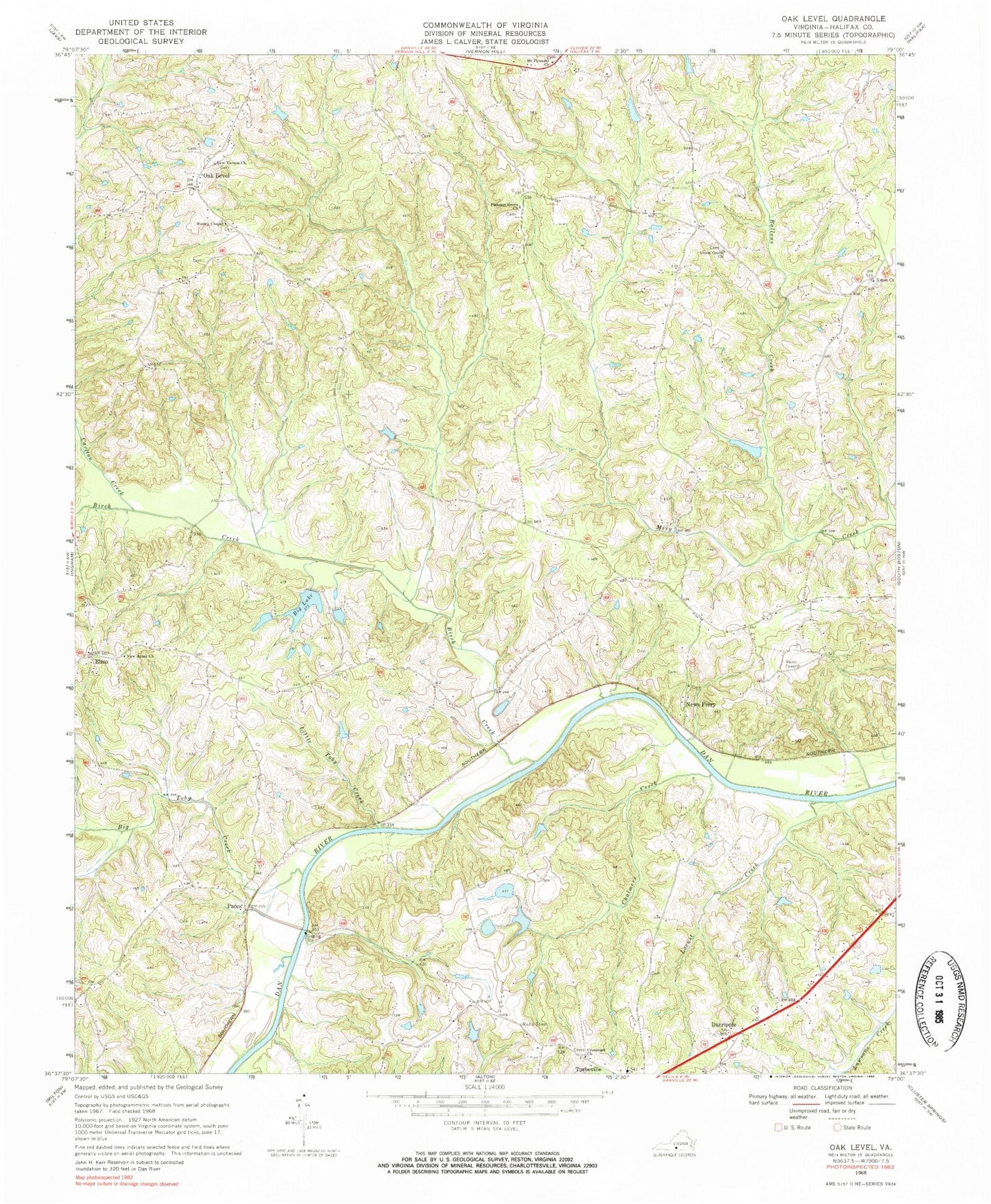
Classic USGS Oak Level Virginia 7.5'x7.5' Topo Map
Couldn't load pickup availability
Historical USGS topographic quad map of Oak Level in the state of Virginia. Map scale may vary for some years, but is generally around 1:24,000. Print size is approximately 24" x 27"
This quadrangle is in the following counties: Halifax.
The map contains contour lines, roads, rivers, towns, and lakes. Printed on high-quality waterproof paper with UV fade-resistant inks, and shipped rolled.
Contains the following named places: Ballous Creek, Bass Dam, Big Lake, Big Toby Creek, Birch Creek, Bosses, Carlton Creek, Chalmers Creek, Colmans Corner, Cross Road Baptist Church, Crossroad Church, Crossroads Cemetery, Danripple, East Temple Dam, Elmo, Five Oaks Dam, Five Oaks Pond, Flint Rock School, Fye Dam, Jones, Little Toby Creek, Locust Creek, Mount Pleasant Church, Mount Zion School, New Arbor Church, New Arbor School, New Vernon Church, News Ferry, Oak Level, Oak Level Cemetery, Oak Level Presbyterian Church, Oak Level Volunteer Fire Department, Oakes Dam, Owens Store, Paces, Pleasant Grove, Pleasant Grove Cemetery, Pleasant Grove Church, Ragland Dam, Ruddy Bottom Shoals, Temple Dam, Temple Pond, Terry School, Terrys Corner, Turbeville Elementary School, Union Cemetery, Union Church, Union Grove Church, Wade Dam Number Four, Wade Dam Number One, Wade Dam Number Three, Wade Dam Number Two, Wesley Chapel, Wesley Chapel School, West Temple Dam, Wilson Memorial School


