MyTopo
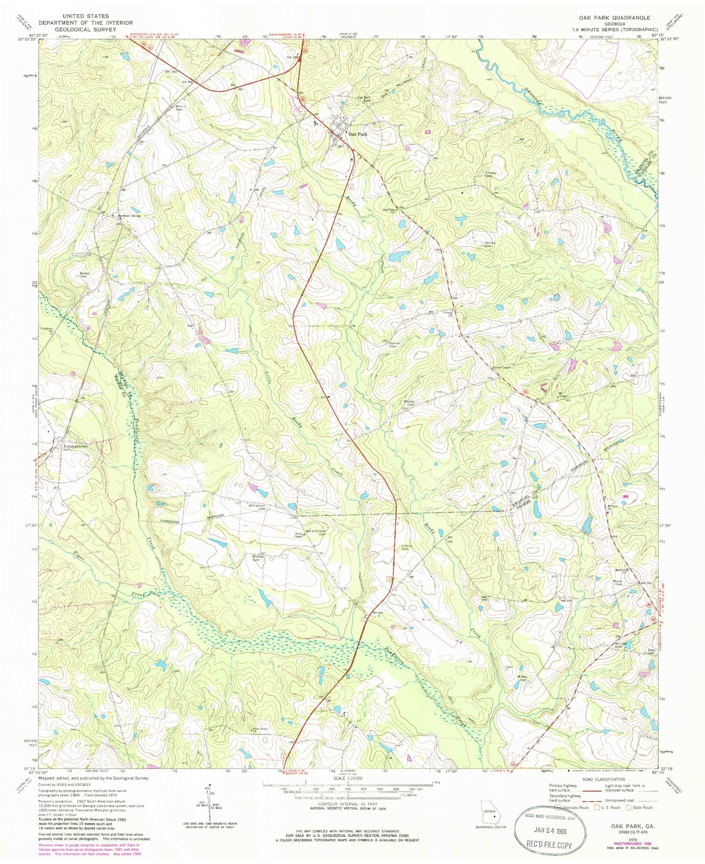
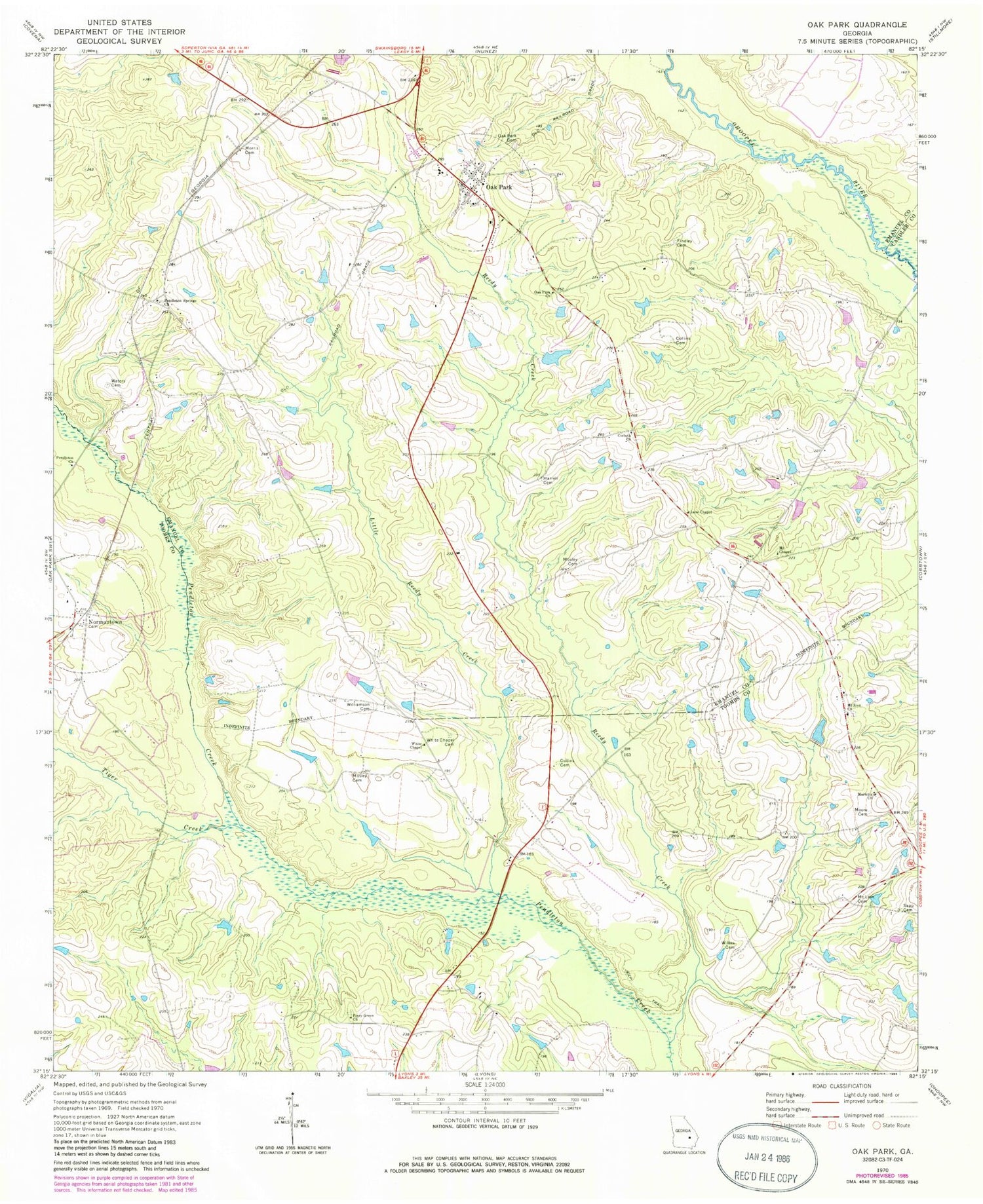
Classic USGS Oak Park Georgia 7.5'x7.5' Topo Map
Couldn't load pickup availability
Historical USGS topographic quad map of Oak Park in the state of Georgia. Map scale may vary for some years, but is generally around 1:24,000. Print size is approximately 24" x 27"
This quadrangle is in the following counties: Candler, Emanuel, Toombs.
The map contains contour lines, roads, rivers, towns, and lakes. Printed on high-quality waterproof paper with UV fade-resistant inks, and shipped rolled.
Contains the following named places: Collins Cemetery, Collins Family Cemetery, Corinth Church, Elisha Mosley Cemetery, Emanuel County Fire Department Station 06, Harrell Cemetery, Holt Airpark, Lane Chapel, Little Reedy Creek, Long Bridge, Marietta Church, McLain Cemetery, Moore Cemetery, Morris Family Cemetery, Mosley Cemetery, Mount Chapel, Mount Zion Church, Normantown, Normantown Volunteer Fire Department, Oak Park, Oak Park Cemetery, Oak Park Church, Oak Park City Fire Department, Oak Park Division, Pendleton Church, Pendleton Springs Cemetery, Pendleton Springs Church, Piney Green Church, Reedy Creek, Sapp Cemetery, Shepherd Findley Cemetery, Thompson Bridge, Tiger Creek, Town of Oak Park, Waters Cemetery, White Chapel, White Chapel Cemetery, Wilkes Cemetery, Williamson Cemetery


