MyTopo
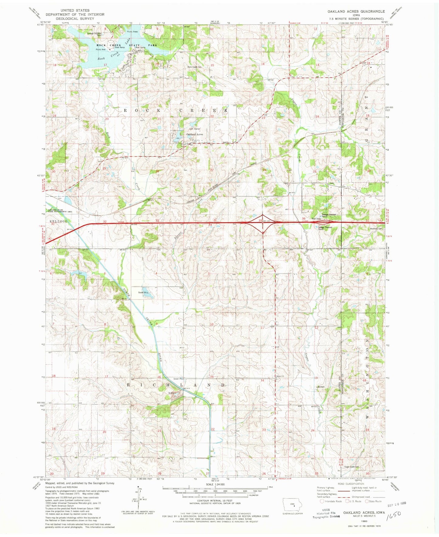
Classic USGS Oakland Acres Iowa 7.5'x7.5' Topo Map
Couldn't load pickup availability
Historical USGS topographic quad map of Oakland Acres in the state of Iowa. Map scale may vary for some years, but is generally around 1:24,000. Print size is approximately 24" x 27"
This quadrangle is in the following counties: Jasper, Poweshiek.
The map contains contour lines, roads, rivers, towns, and lakes. Printed on high-quality waterproof paper with UV fade-resistant inks, and shipped rolled.
Contains the following named places: Bethel Cemetery, Bethel Church, City of Oakland Acres, Grinnell East Bound Rest Area, Grinnell West Bound Rest Area, Historic Grinnell State Historical Marker, Lake Pla-Mor, Mormon Grave, North Skunk River Post Office, Oakland Acres, Oakland Acres Dam, Oakland Acres Golf Club, Rock Creek, Rock Creek Lake, Rock Creek Lake Dam, Rock Creek Liberty Cemetery, Sugar Creek Cemetery, Sully Mine, Township of Richland, Township of Rock Creek, Turner, Turner Creek, Turner Post Office, West Westfield Cemetery, Westfield