MyTopo
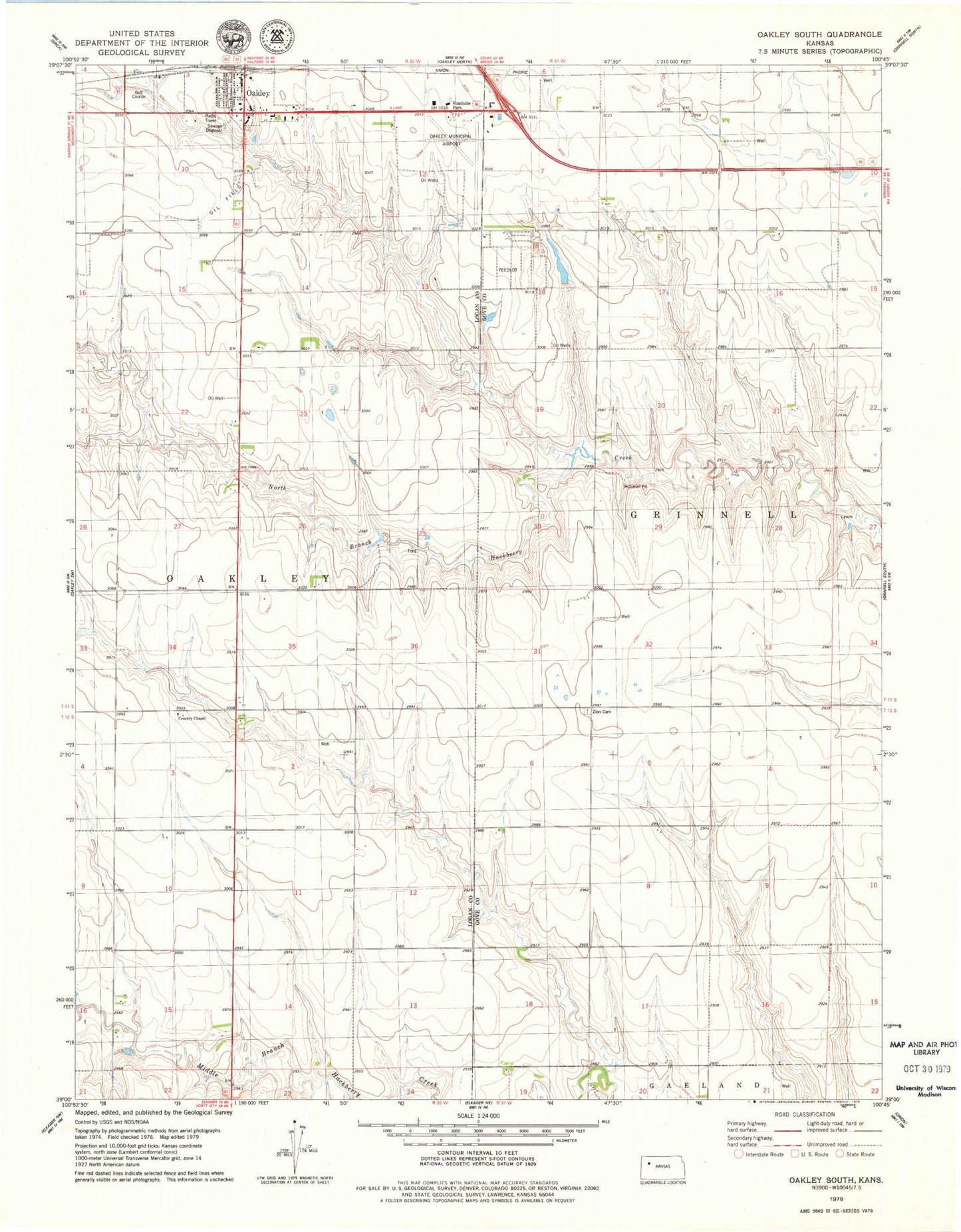
Classic USGS Oakley South Kansas 7.5'x7.5' Topo Map
Couldn't load pickup availability
Historical USGS topographic quad map of Oakley South in the state of Kansas. Map scale may vary for some years, but is generally around 1:24,000. Print size is approximately 24" x 27"
This quadrangle is in the following counties: Gove, Logan.
The map contains contour lines, roads, rivers, towns, and lakes. Printed on high-quality waterproof paper with UV fade-resistant inks, and shipped rolled.
Contains the following named places: City of Oakley, Country Chapel, Frontier Agricultural Grain Elevator Number 1, Kansas Department of Transportation Area 4 Shop District 3, Oakley Country Club, Oakley Landfill, Oakley Municipal Airport, Oakley Wastewater Treatment Facility, Patterson Mobile Home Park, Zion Norwegian Cemetery, ZIP Code: 67748