MyTopo
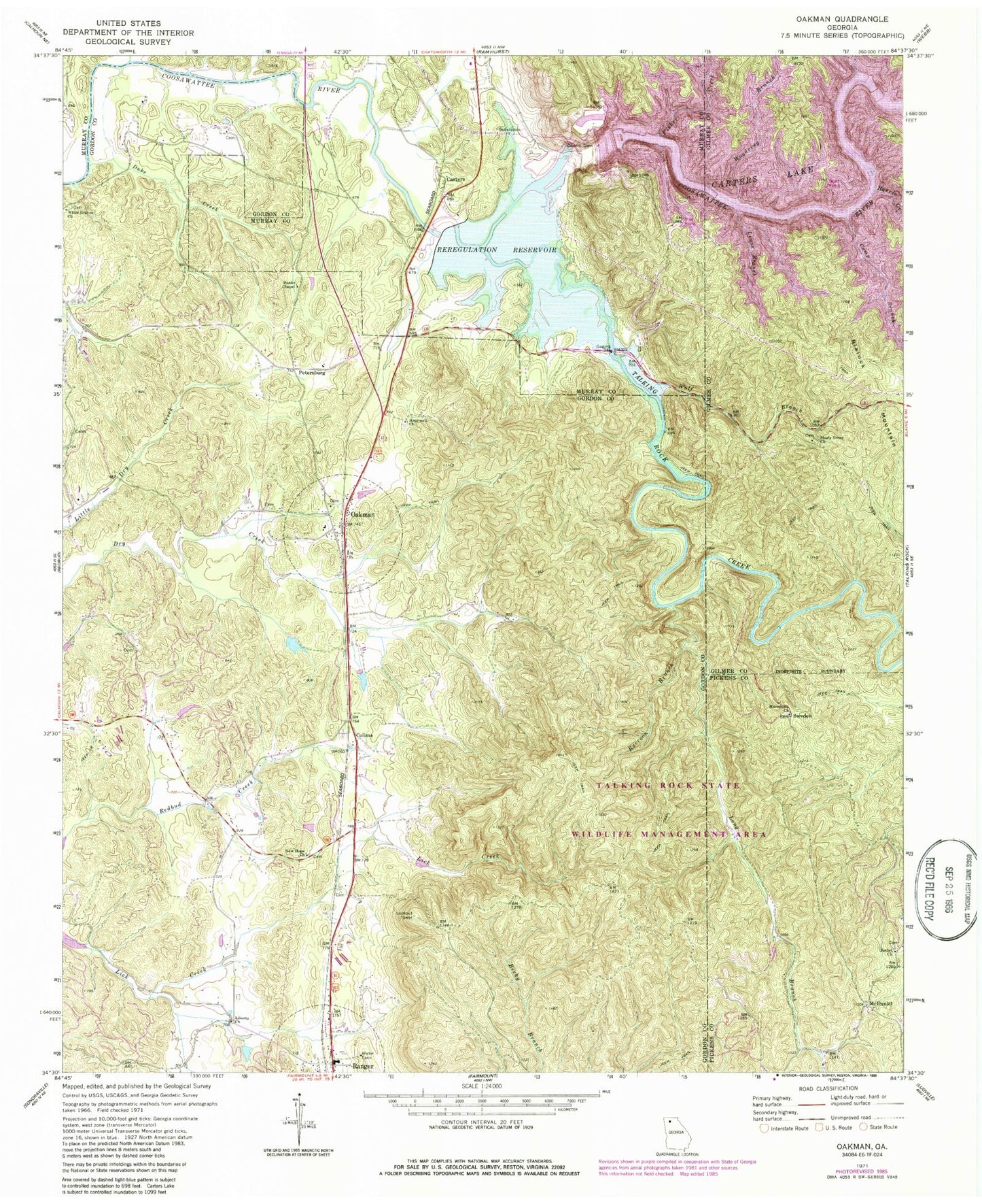
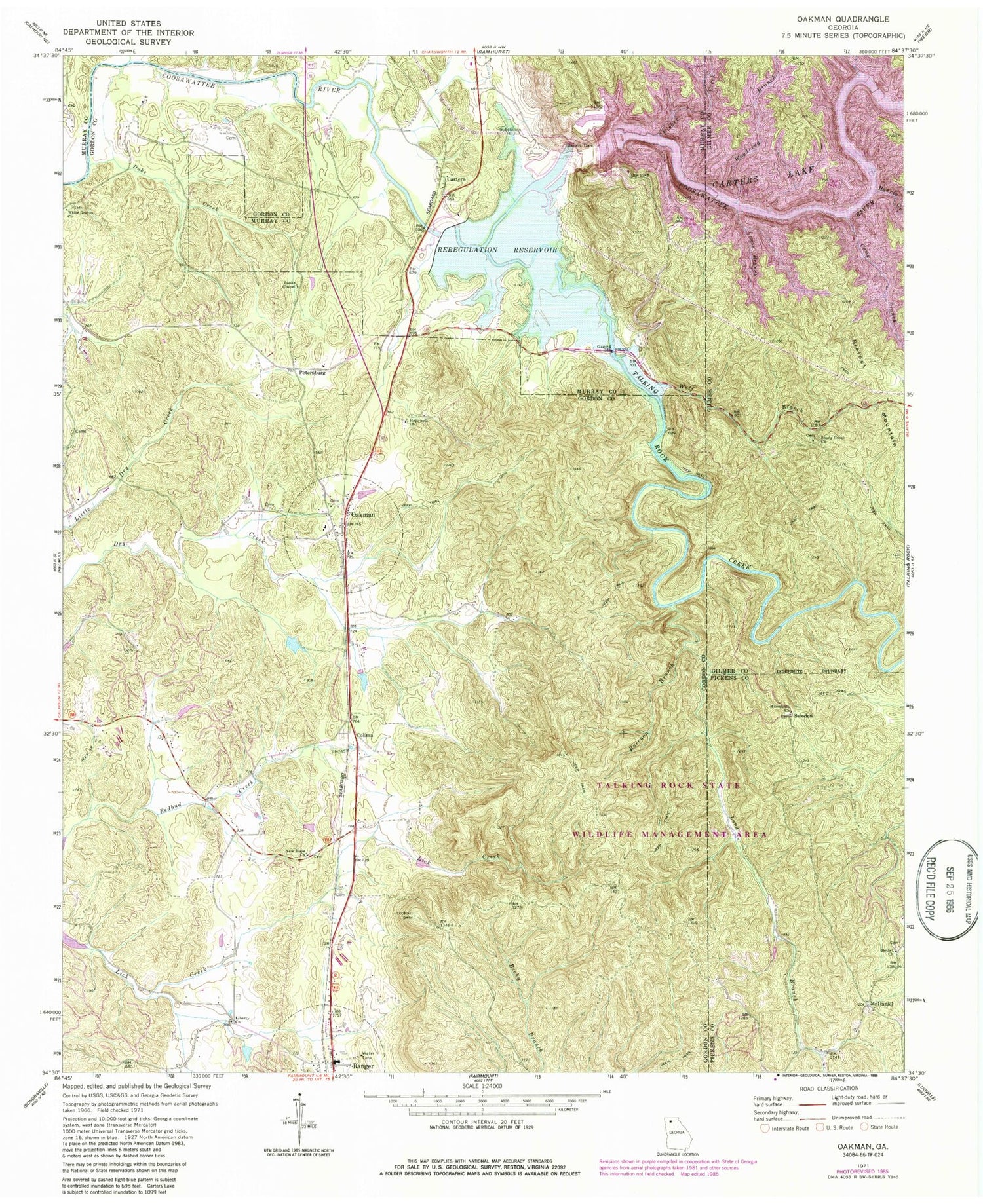
Classic USGS Oakman Georgia 7.5'x7.5' Topo Map
Couldn't load pickup availability
Historical USGS topographic quad map of Oakman in the state of Georgia. Map scale may vary for some years, but is generally around 1:24,000. Print size is approximately 24" x 27"
This quadrangle is in the following counties: Gilmer, Gordon, Murray, Pickens.
The map contains contour lines, roads, rivers, towns, and lakes. Printed on high-quality waterproof paper with UV fade-resistant inks, and shipped rolled.
Contains the following named places: Banks Chapel, Bethel Church, Camp Branch, Carters, Carters Dam, Carters Lake, Carters Reregulation Dam, Colima, Damsite Overlook, Damsite Recreation Area, Duke Creek, Evans Lake, Evans Lake Dam, Fair View Church, Fisher Creek, Goble Branch, Gordon County Fire / Rescue Department Station 10 Ranger, Gordon County Fire and Rescue Department Station 9, Harris Branch Recreation Area, Harris Creek, Hopewell Baptist Church, Hopper Lake, Lewis Branch, Liberty Church, Liberty School, Long Branch, Macedonia Church, McDaniel, Mineral Springs Branch, New Hope Church, Oakman, Oakman Post Office, Oakman School, Petersburg, Raccoon Branch, Ranger, Ranger Post Office, Reregulation Dam Recreation Area, Reregulation Pool, Reregulation Reservoir, Rock Springs Branch, Sallacoa Creek Watershed Dam Number 77, Sevenmile Creek, Shady Grove Baptist Church Cemetery, Shady Grove Church, Sugar Creek, Sweden, Talking Rock Creek, Talking Rock Wildlife Management Area, Tillman Lake, Tillman Lake Dam, Town of Ranger, Wheeler, White Graves Church, Willbanks Branch, Wolf Branch, Woodridge Branch Recreation Area, Woodring Branch, Wurley Creek, ZIP Code: 30734


