MyTopo
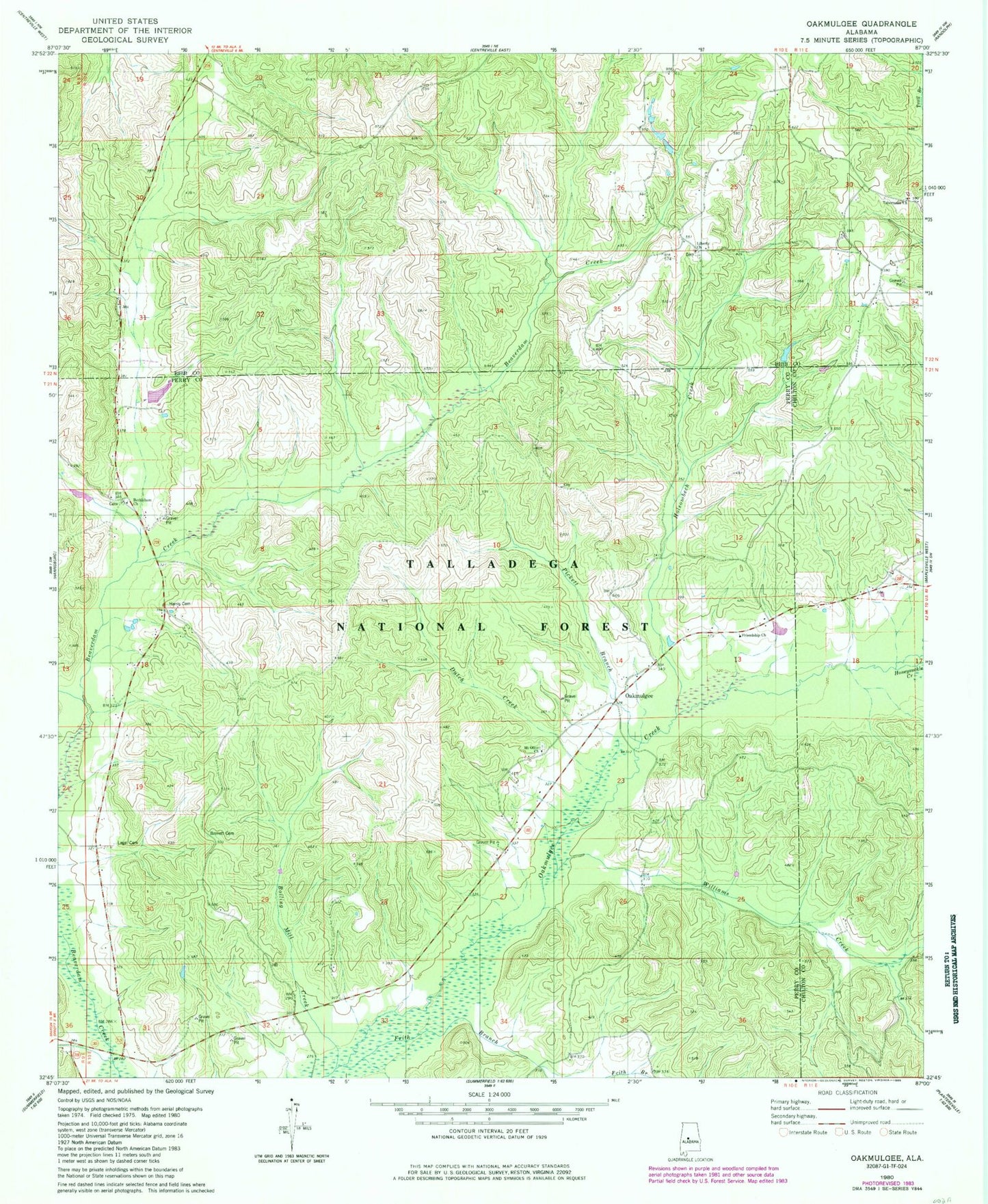
Classic USGS Oakmulgee Alabama 7.5'x7.5' Topo Map
Couldn't load pickup availability
Historical USGS topographic quad map of Oakmulgee in the state of Alabama. Map scale may vary for some years, but is generally around 1:24,000. Print size is approximately 24" x 27"
This quadrangle is in the following counties: Bibb, Chilton, Perry.
The map contains contour lines, roads, rivers, towns, and lakes. Printed on high-quality waterproof paper with UV fade-resistant inks, and shipped rolled.
Contains the following named places: Barnett Cemetery, Bethlehem, Bethlehem Cemetery 1, Bethlehem Missionary Baptist Church, Bethlehem Number 2 Cemetery, Bethlehem School, Boiling Mill Creek, Bolling Mill, Bull Mountain, Caffee School, Camp Branch, Conwill Cemetery, Dutch Creek, Friendship Baptist Church, Frith Branch, Griffin Cemetery, Griffin Springs, Harris Cemetery, Harris Store, Holsombech Creek, Honeysuckle Creek, Lawley Volunteer Fire Department Station 2, Legal Cemetery, Liberty Cemetery, Liberty Free Will Baptist Church, Mount Olive Cemetery, Mount Olive Primitive Baptist Church, Oakmulgee, Oakmulgee Post Office, Pickett Branch, Pinetucky, Pinetucky Volunteer Fire Department, Rogers Store, Smith Cemetery, Tabernacle, Tabernacle Cemetery, Tabernacle United Methodist Church, Undermine Creek, Williams Creek, ZIP Code: 36793