MyTopo
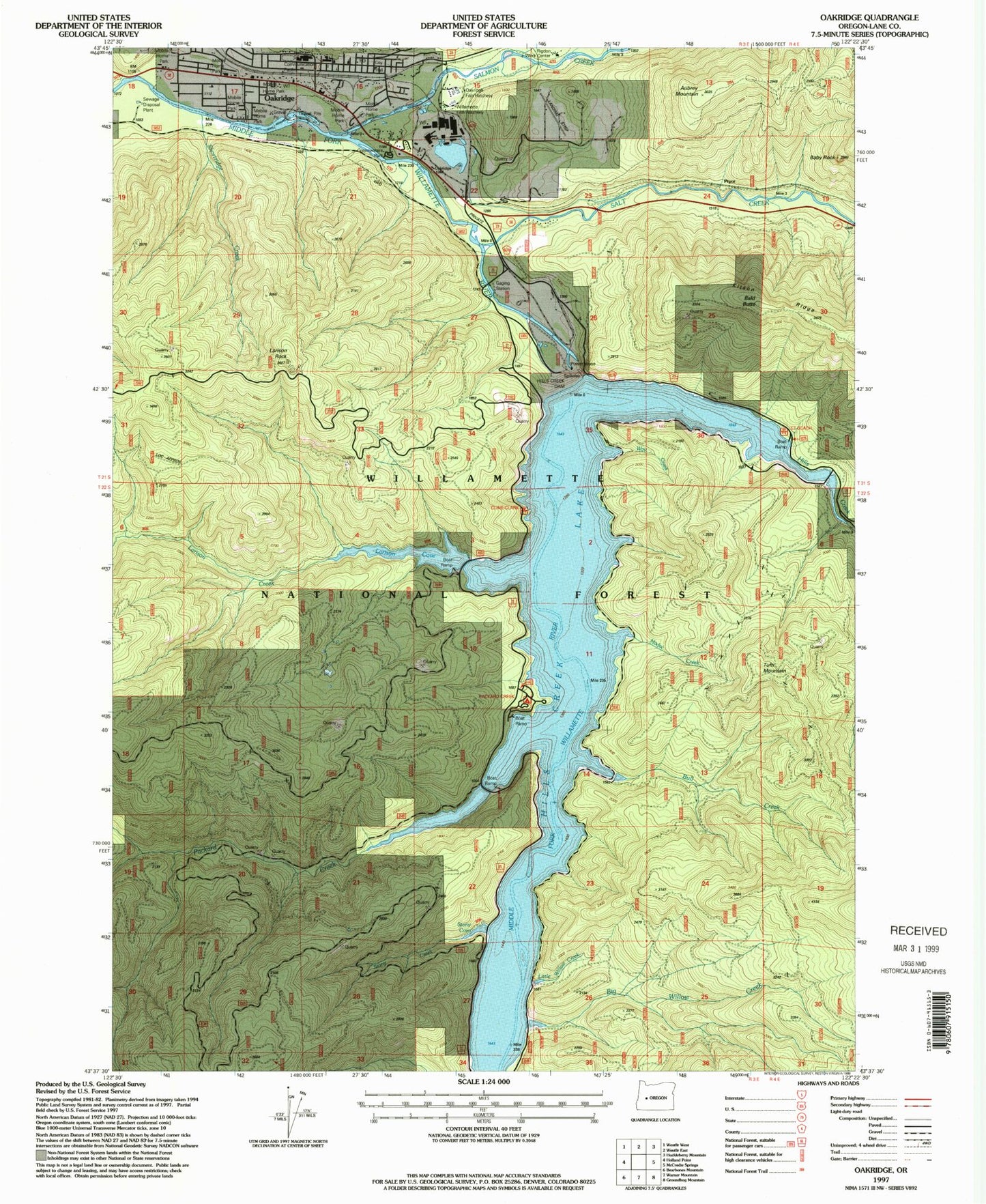
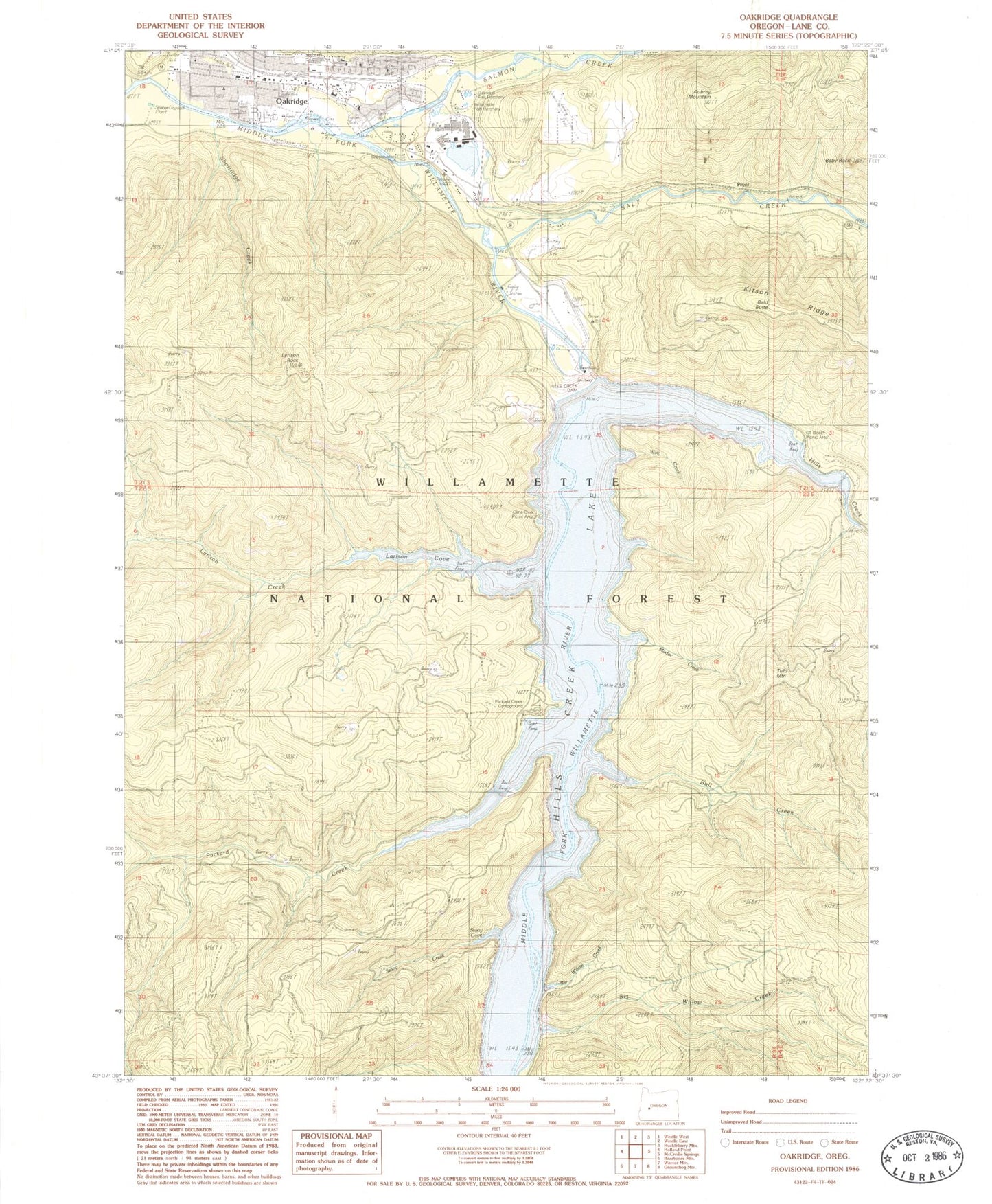
Classic USGS Oakridge Oregon 7.5'x7.5' Topo Map
Couldn't load pickup availability
Historical USGS topographic quad map of Oakridge in the state of Oregon. Map scale may vary for some years, but is generally around 1:24,000. Print size is approximately 24" x 27"
This quadrangle is in the following counties: Lane.
The map contains contour lines, roads, rivers, towns, and lakes. Printed on high-quality waterproof paper with UV fade-resistant inks, and shipped rolled.
Contains the following named places: Aubrey Mountain, Aubrey Mountain Airstrip, Baby Rock, Bald Butte, Big Willow Creek, Bull Creek, C T Beach Boat Ramp, City of Oakridge, Cline Clark Recreation Site, CT Beach Recreation Site, Davis-Weber Lumber Company, Department of Motor Vehicles Oakridge, Flat Creek, Greenwater Park Siuslaw Bank Amphitheatre, Greenwaters Park, Hills Creek, Hills Creek Dam, Hills Creek Lake, Larison Cove, Larison Cove Canoe-In Recreation Site, Larison Creek, Larison Rock, Little Willow Creek, Modoc Creek, Oakridge, Oakridge / Estfir Wastewater Treatment Facility, Oakridge City Hall, Oakridge Elementary School, Oakridge Fire Department, Oakridge Fish Hatchery, Oakridge High School, Oakridge Justice Center, Oakridge Library, Oakridge Pioneer Museum, Oakridge Police Department, Oakridge Post Office, Oakridge Public Works Shop, Oregon State Police Department Oakridge, Ornoname 17 Dam, Packard Creek, Packard Creek Boat Ramp, Packard Creek Recreation Site, Pryor, Rigdon District Ranger Office, Salmon Creek, Salmon Creek Park, Salt Creek, Shortridge Creek, Stony Cove, Stony Creek, T V Butte, Tiptop Post Office, Tufti Mountain, Tumble Creek, Way Creek, West Oak Post Office, Willamette City, Willamette Fish Hatchery, Willamette Fish Hatchery and Museum, ZIP Codes: 97463, 97492


