MyTopo
Classic USGS Oakville Iowa 7.5'x7.5' Topo Map
Couldn't load pickup availability
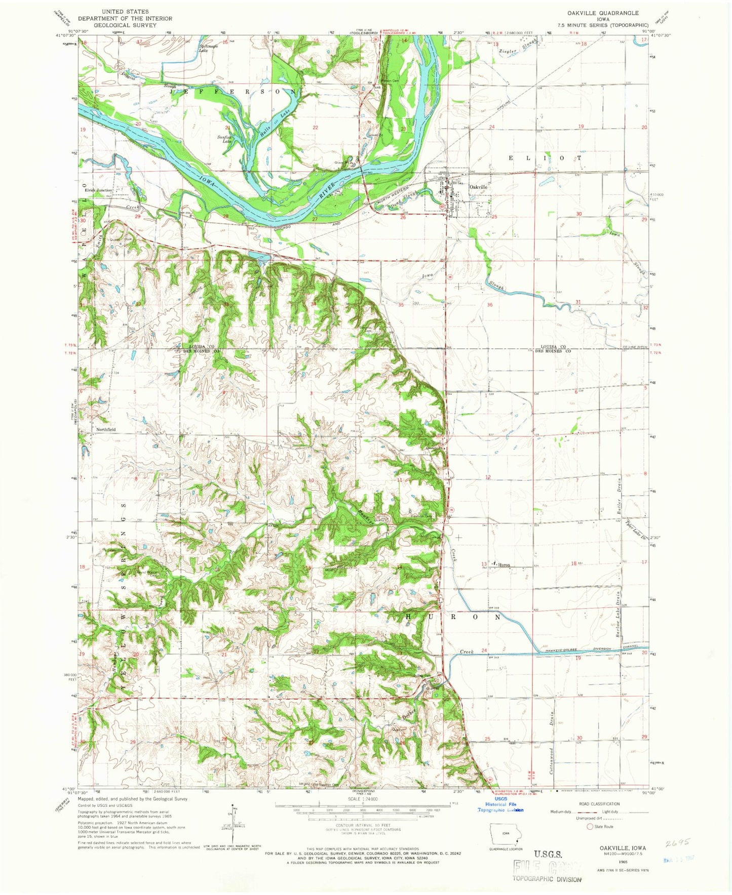
Historical USGS topographic quad map of Oakville in the state of Iowa. Map scale may vary for some years, but is generally around 1:24,000. Print size is approximately 24" x 27"
This quadrangle is in the following counties: Des Moines, Louisa.
The map contains contour lines, roads, rivers, towns, and lakes. Printed on high-quality waterproof paper with UV fade-resistant inks, and shipped rolled.
Contains the following named places: Apostolic Christian Cemetery, Apostolic Christian Church, Apostolic Church, Butler Drain, Cappy Russell Access, Church of God Holiness, City of Oakville, Dead Slough, Diggins Slough, Dolbee Cemetery, Dolbee Creek, Driscol Cave Burial Site, Edwards Cemetery, Elrick Junction, Elrick Post Office, Florence Post Office, Halls Lake, Hawkeye Cemetery, Hawkeye Creek, Hawkeye Creek Bridge, Hawkeye-Dolbee Diversion Channel, Huron, Huron Post Office, Limestone Post Office, Luckenbill Woods, Northfield, Northfield Cemetery, Northfield Post Office, Oakville, Oakville Fire Department, Oakville Post Office, Oakville Town Hall, Old Swedish Church, Palo Alto Post Office, Parson Cemetery, Round Prairie Cemetery, Sharar Field, Smith Creek, Sunfish Lake, Swedish Lutheran Cemetery, Township of Eliot, Township of Huron, United Methodist Church


