MyTopo
Classic USGS Oasis State Park New Mexico 7.5'x7.5' Topo Map
Couldn't load pickup availability
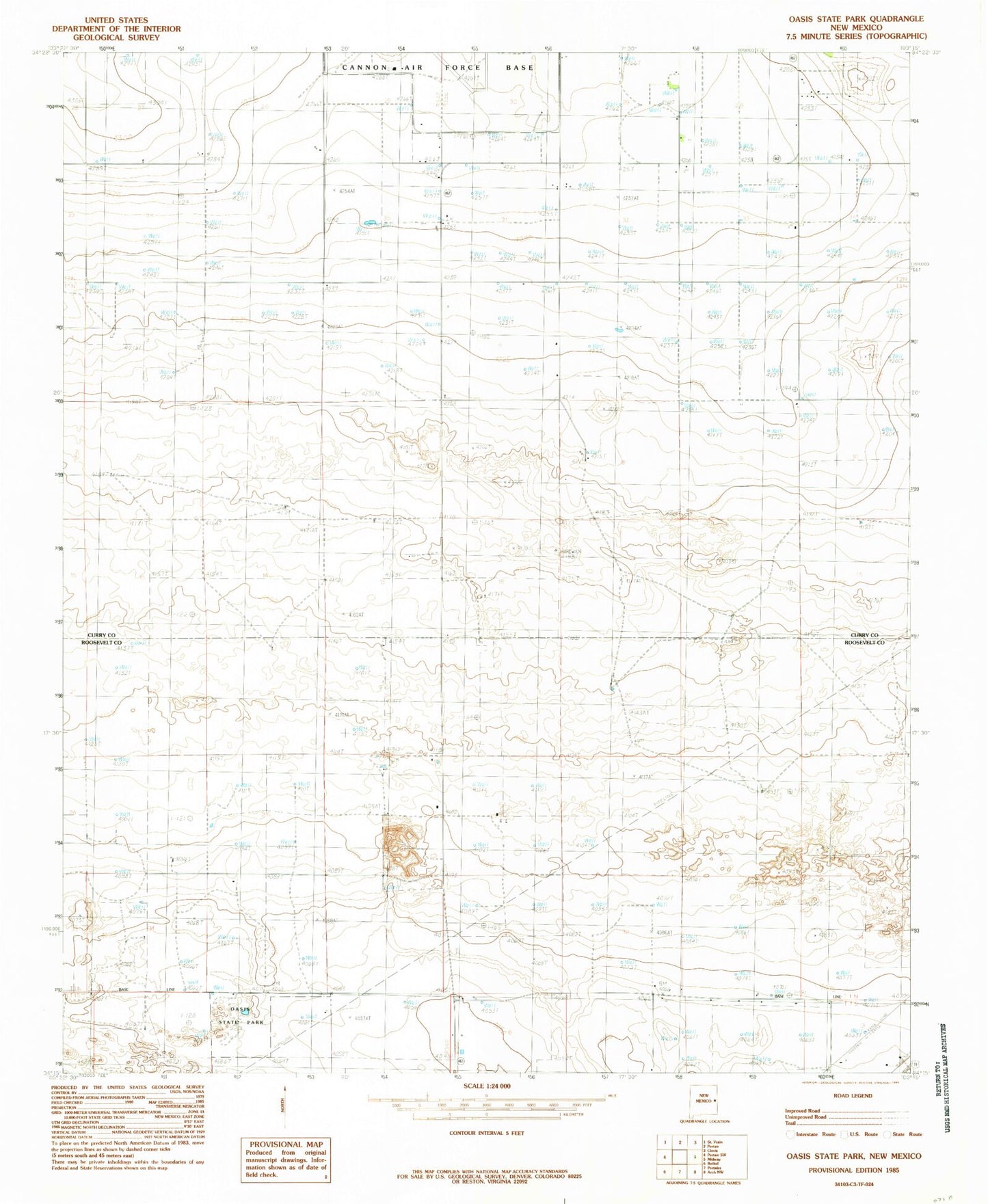
Historical USGS topographic quad map of Oasis State Park in the state of New Mexico. Map scale may vary for some years, but is generally around 1:24,000. Print size is approximately 24" x 27"
This quadrangle is in the following counties: Curry, Roosevelt.
The map contains contour lines, roads, rivers, towns, and lakes. Printed on high-quality waterproof paper with UV fade-resistant inks, and shipped rolled.
Contains the following named places: 10020 Water Well, 10021 Water Well, 10070 Water Well, 10071 Water Well, 10072 Water Well, 10691 Water Well, 10707 Water Well, 10784 Water Well, 10809 Water Well, 11041 Water Well, 11538 Water Well, 11539 Water Well, 11540 Water Well, 11634 Water Well, 11667 Water Well, 11745 Water Well, 12162 Water Well, 12258 Water Well, 12259 Water Well, 12520 Water Well, 12716 Water Well, Arrowhead Dairy, Blackwater Draw Dairy, Day Star Dairy, Do Rene Dairy, El Dorado Dairy, Four Way Dairy, Highland Dairy, Mitchell Dairy, Oasis State Park, Sas Dairy