MyTopo
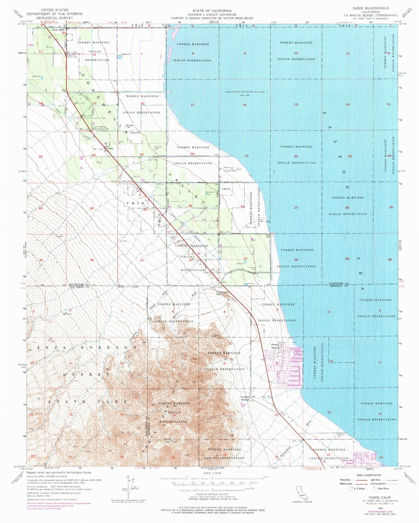
Classic USGS Oasis California 7.5'x7.5' Topo Map
Couldn't load pickup availability
Historical USGS topographic quad map of Oasis in the state of California. Map scale may vary for some years, but is generally around 1:24,000. Print size is approximately 24" x 27"
This quadrangle is in the following counties: Imperial, Riverside, San Diego.
The map contains contour lines, roads, rivers, towns, and lakes. Printed on high-quality waterproof paper with UV fade-resistant inks, and shipped rolled.
Contains the following named places: Coachella Valley, Coolidge Springs, Desert Shores, Desert Shores Census Designated Place, Fish Spring, Garner Wash, Oasis, Oasis Lateral, Oasis Maintenance Station, Oriols Service Station, Riverside County Fire Department Station 42 Oasis, Salton Sea Beach, Salton Sea Beach Census Designated Place, Salton Sea Beach Marina, Travertine Palms, Travertine Palms Wash, Travertine Rock, West Shore Ambulance Service, Wonderstone Wash, ZIP Code: 92274