MyTopo
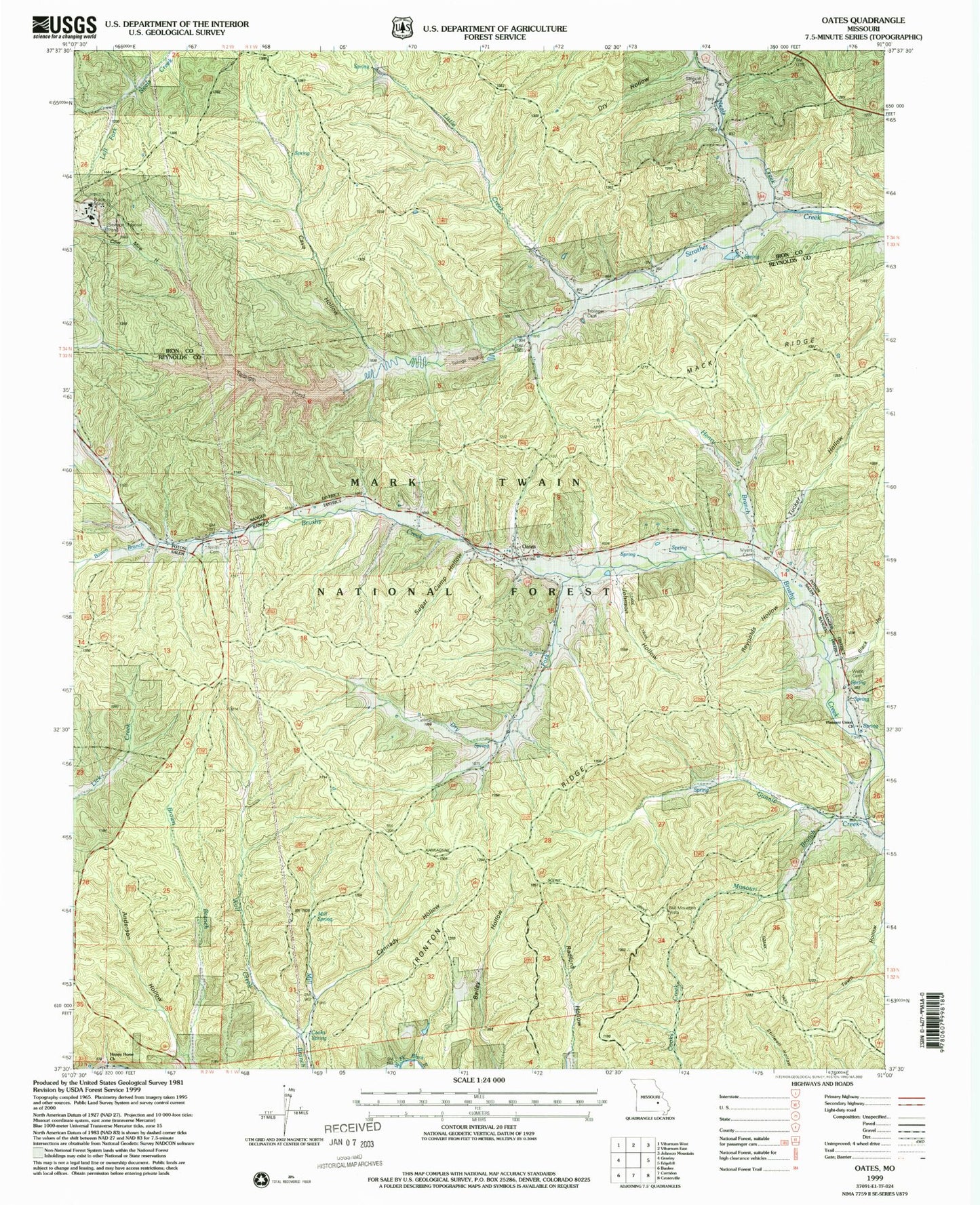
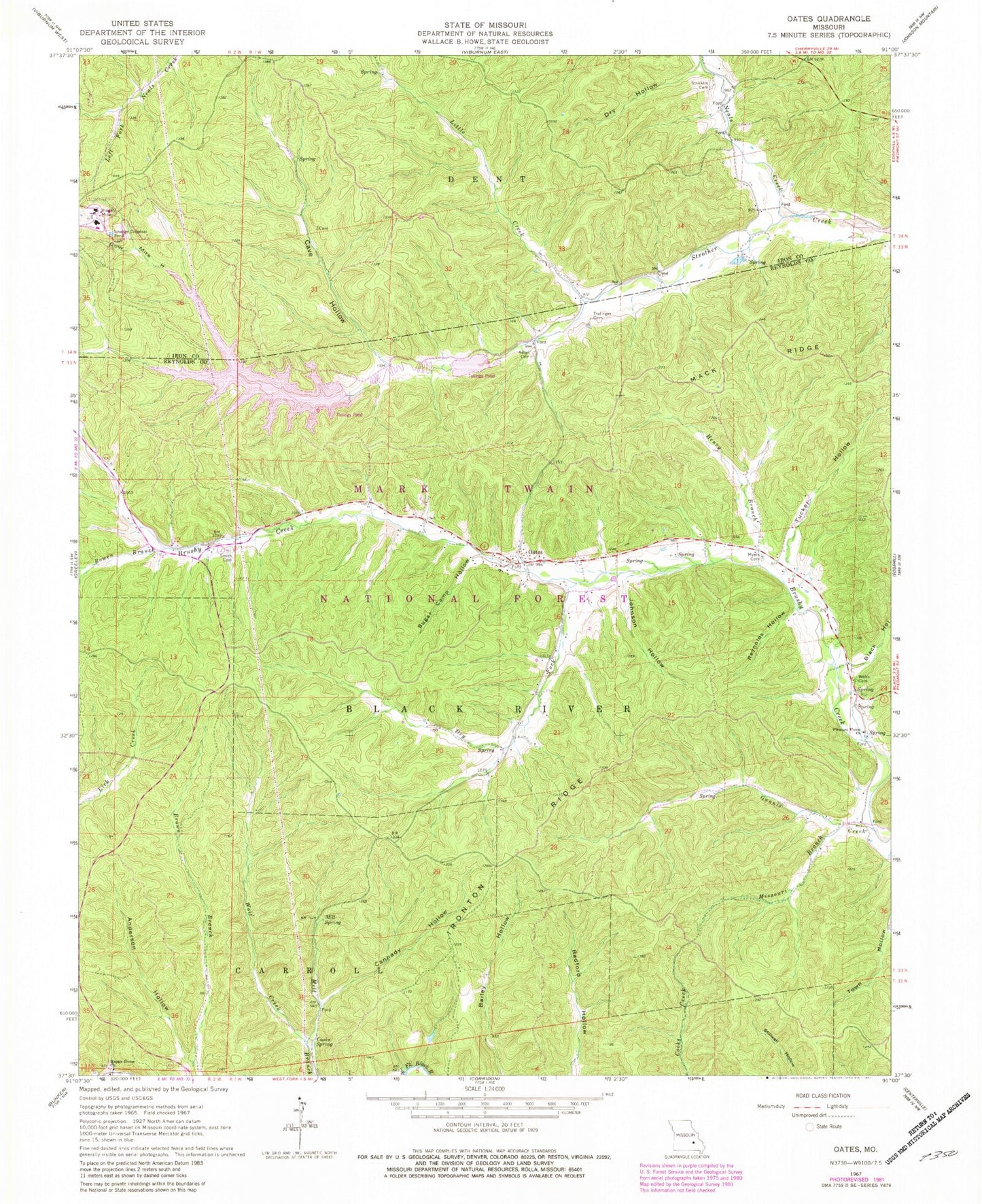
Classic USGS Oates Missouri 7.5'x7.5' Topo Map
Couldn't load pickup availability
Historical USGS topographic quad map of Oates in the state of Missouri. Typical map scale is 1:24,000, but may vary for certain years, if available. Print size: 24" x 27"
This quadrangle is in the following counties: Iron, Reynolds.
The map contains contour lines, roads, rivers, towns, and lakes. Printed on high-quality waterproof paper with UV fade-resistant inks, and shipped rolled.
Contains the following named places: Anderson Hollow, Asher Cemetery, Bell Mountain Vista Picnic Area, Cannady Hollow, Cave Hollow, Cooks Spring, Cow Mire Hollow, Dry Fork, Dry Hollow, Gunnis Creek, Happy Home Church, Henry Branch, Johnson Hollow, Mill Spring, Missouri Branch, Myers Cemetery, Oates, Reynolds Hollow, Smith Cemetery, Stricklin Cemetery, Sugar Camp Hollow, Trolinger Cemetery, Webb Cemetery, Wolf Creek, Oates School (historical), Pleasant Union Church, Clones, Barton School (historical), Hawk School, Moses Store, Black Lookout Tower (historical), Black Hollow, Bowen Branch, Ironton Ridge, Little Creek, Mack Ridge, Neals Creek, Tucker Hollow, Oates Lookout Tower, Buick Mine, Buick Mine Tailings Dam, Amax Tailing Pond


