MyTopo
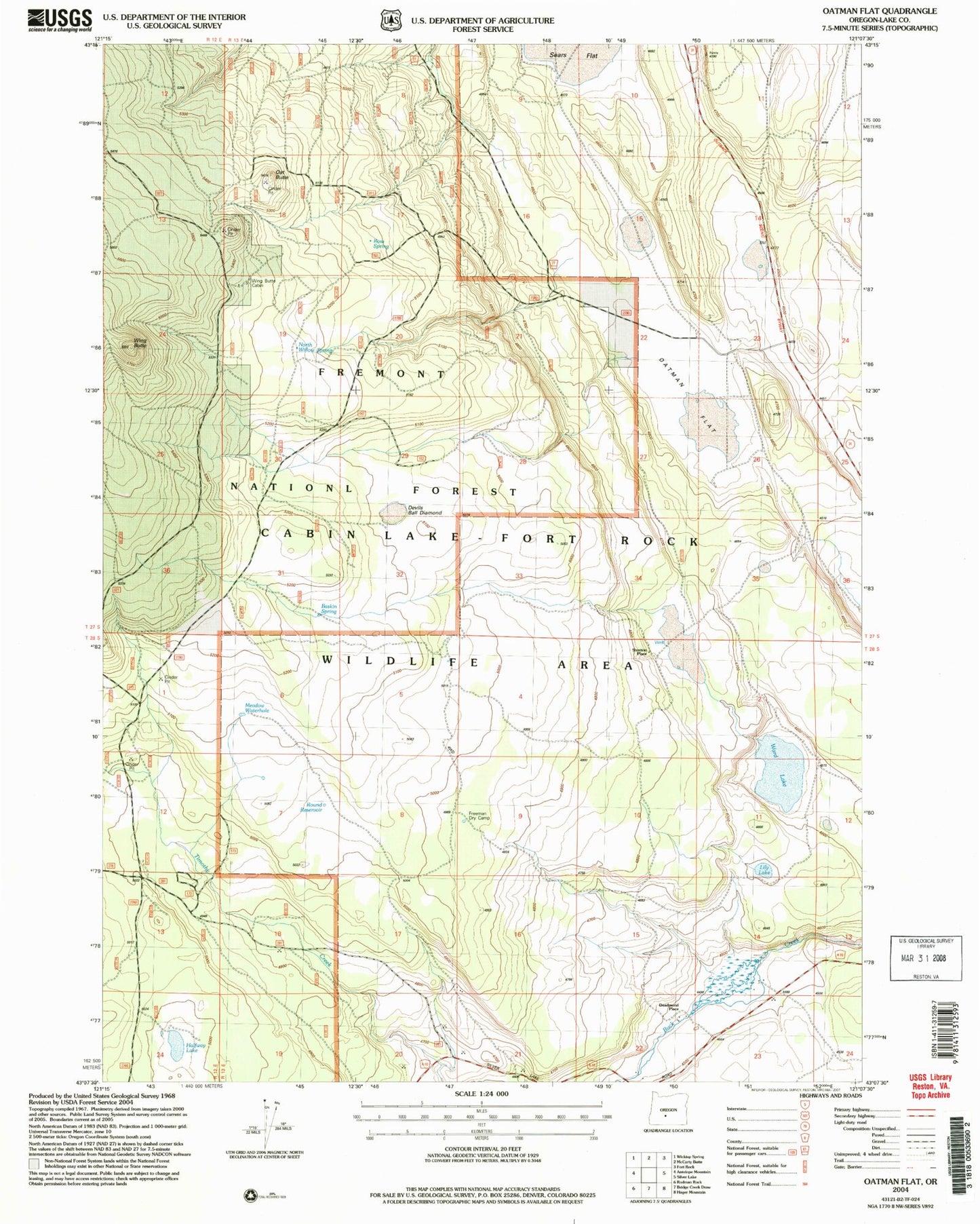
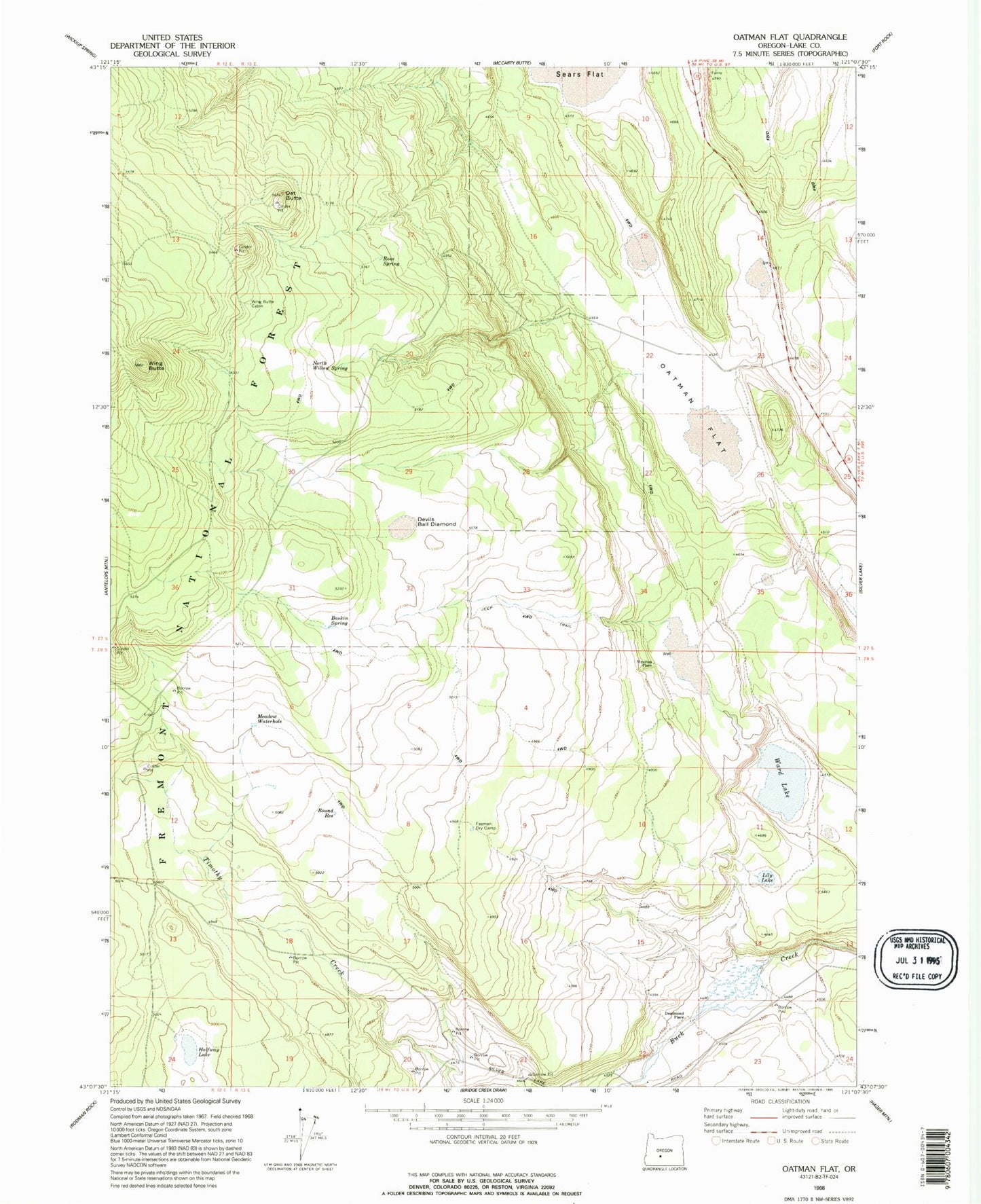
Classic USGS Oatman Flat Oregon 7.5'x7.5' Topo Map
Couldn't load pickup availability
Historical USGS topographic quad map of Oatman Flat in the state of Oregon. Map scale may vary for some years, but is generally around 1:24,000. Print size is approximately 24" x 27"
This quadrangle is in the following counties: Lake.
The map contains contour lines, roads, rivers, towns, and lakes. Printed on high-quality waterproof paper with UV fade-resistant inks, and shipped rolled.
Contains the following named places: Baskin Spring, Deadmond Place, Devils Ball Diamond, Freeman Dry Camp, Halfway Lake, Lily Lake, Logger Waterhole, Meadow Waterhole, North Willow Spring, Oat Butte, Oatman Flat, R Emery Ranch, Ross Spring, Round Reservoir, Sears Flat, Shumacher Reservoir Number Five, Stratton Place, T Emery Ranch, Ward Lake, Williams Mill, Wing Butte, Wing Butte Cabin


