MyTopo
Classic USGS Oban California 7.5'x7.5' Topo Map
Couldn't load pickup availability
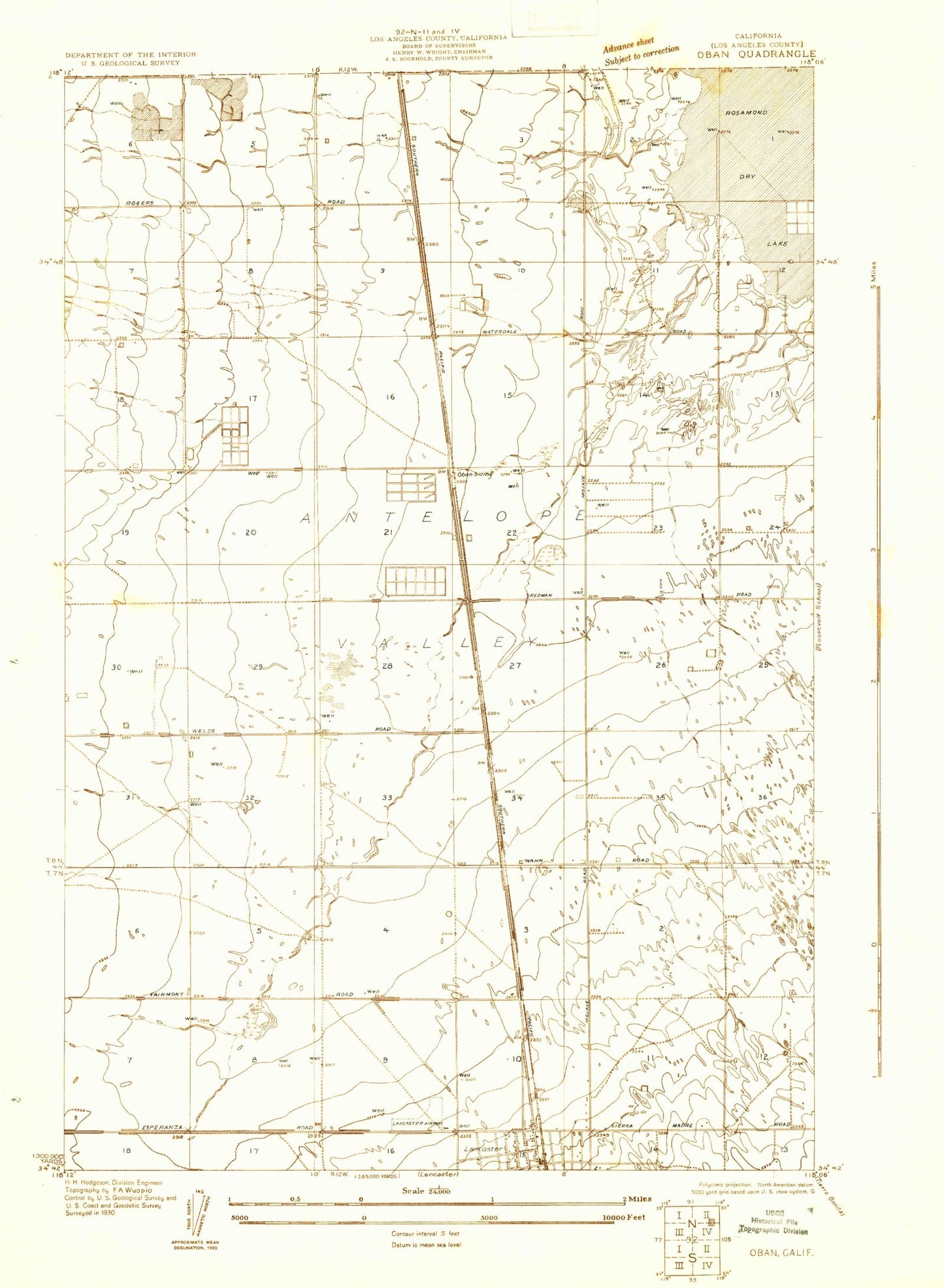
Historical USGS topographic quad map of Oban in the state of California. Map scale may vary for some years, but is generally around 1:24,000. Print size is approximately 24" x 27"
This quadrangle is in the following counties: Los Angeles.
The map contains contour lines, roads, rivers, towns, and lakes. Printed on high-quality waterproof paper with UV fade-resistant inks, and shipped rolled.
Contains the following named places: Adventist School, Amargosa Creek, Antelope Valley College, Antelope Valley Fairgrounds, Apollo Park, Avenue E Trailer Park, California Highway Patrol - Antelope Valley, Clarke Club, Desert View Elementary School, Domenico School, Eastside Park, Glendale Rod and Gun Club, Hoffman Club, KAVL-AM (Lancaster), KGMX-FM (Lancaster), KHJJ-AM (Lancaster), Lancaster Water Reclamation Plant, Mariposa Elementary School, Mariposa Park, Mays Field, North Antelope Valley Division, Oban, Piute Gun Club, Piute Middle School, Piute Ponds, Pond Two, Rescue Services International, Sacred Heart Catholic Church, Sacred Heart Elementary School, Sierra Villa Mobile Home Park, Sterks Ranch Airport, ZIP Code: 93534