MyTopo
Classic USGS Obenchain Mountain Oregon 7.5'x7.5' Topo Map
Couldn't load pickup availability
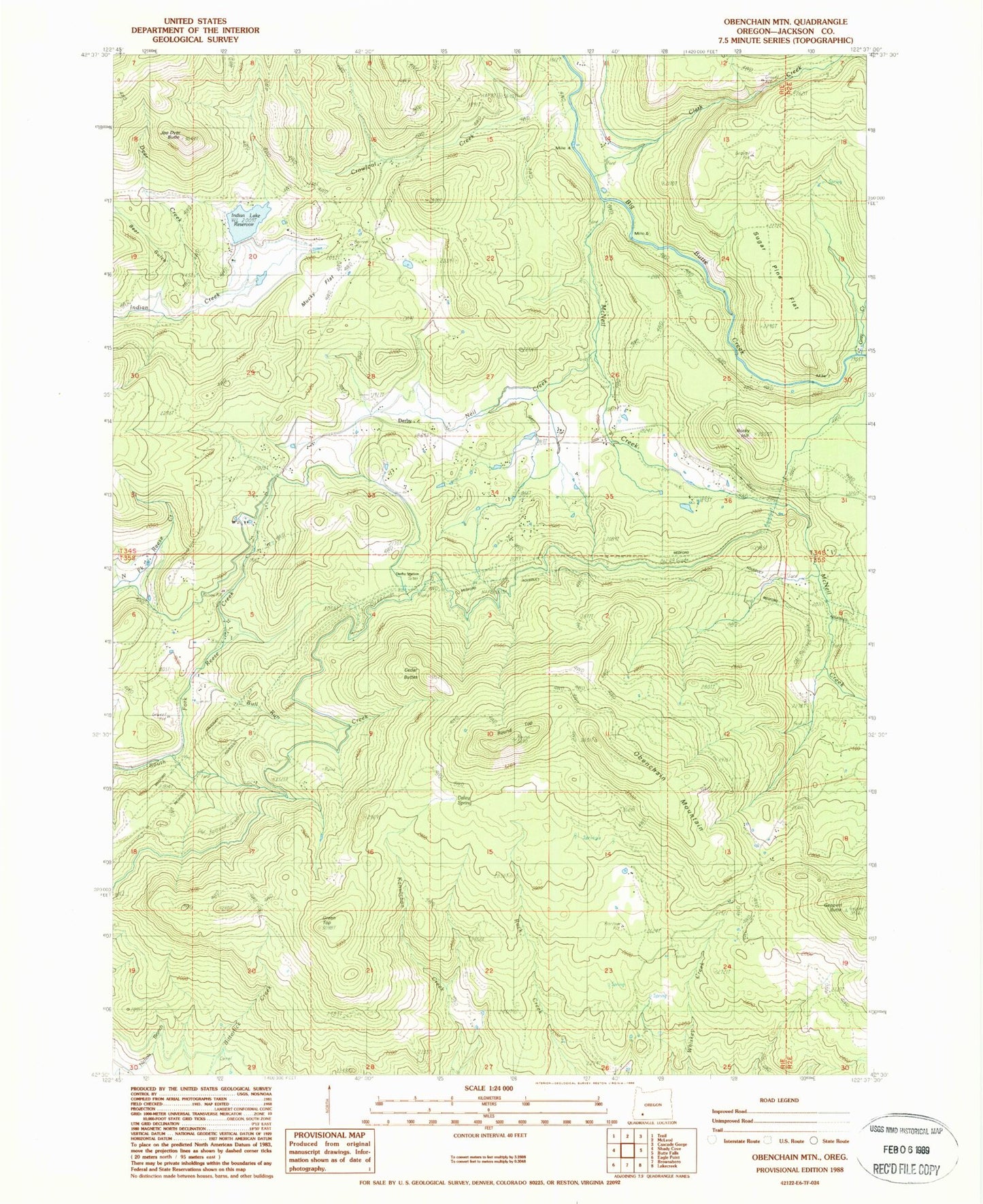
Historical USGS topographic quad map of Obenchain Mountain in the state of Oregon. Map scale may vary for some years, but is generally around 1:24,000. Print size is approximately 24" x 27"
This quadrangle is in the following counties: Jackson.
The map contains contour lines, roads, rivers, towns, and lakes. Printed on high-quality waterproof paper with UV fade-resistant inks, and shipped rolled.
Contains the following named places: Bear Gulch, Bull Run Creek, Cattail Creek, Cedar Buttes, Clark Creek, Crowfoot Creek, Daley Spring, Deer Creek, Deer Lick Spring, Derby, Derby Post Office, Derby School, Derby Station, Duprays Mill, Eagle Point Irrigation Canal, Edsalla, Geppert Butte, Gray Creek, Green Top, Indian Lake Reservoir, Joe Dyer Butte, McNeil Creek, Mucky Flat, Mucky Flat Airport, Neil Creek, Obenchain Mountain, Quartz Creek, Rocky Hill, Round Top, Sugar Pine Flat