MyTopo
Classic USGS Oberg Ranch Wyoming 7.5'x7.5' Topo Map
Couldn't load pickup availability
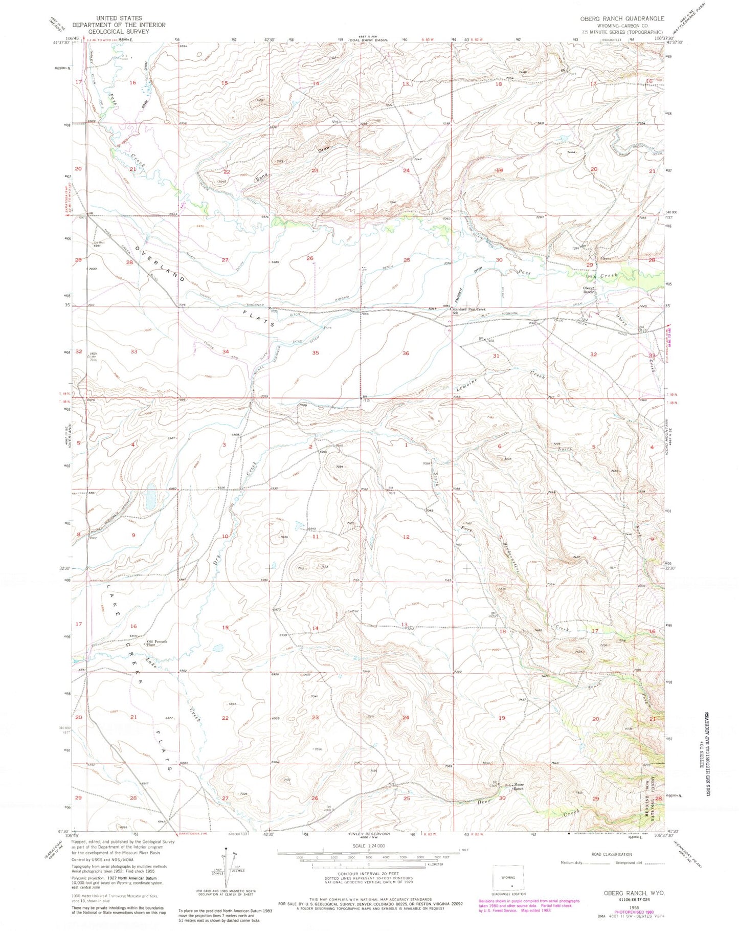
Historical USGS topographic quad map of Oberg Ranch in the state of Wyoming. Map scale may vary for some years, but is generally around 1:24,000. Print size is approximately 24" x 27"
This quadrangle is in the following counties: Carbon.
The map contains contour lines, roads, rivers, towns, and lakes. Printed on high-quality waterproof paper with UV fade-resistant inks, and shipped rolled.
Contains the following named places: Allen Ditch, Ault Faussett Ditch, Ault Highline Ditch, Dodds and Allen Ditch, Dry Creek, Headquarters Creek, Kincaid Ditch, Lake Creek Flats, Lemoine Creek, Moore Ranch, Nickel Scribner Ditch, North Fork Dry Creek, Oberg Creek, Oberg Ranch, Old Pennock Place, Overland Flats, Sand Draw, Shelton Allen Ditch, South Fork Dry Creek, South Fork Lake Creek, Standard Pass Creek School, Swan Ditch