MyTopo
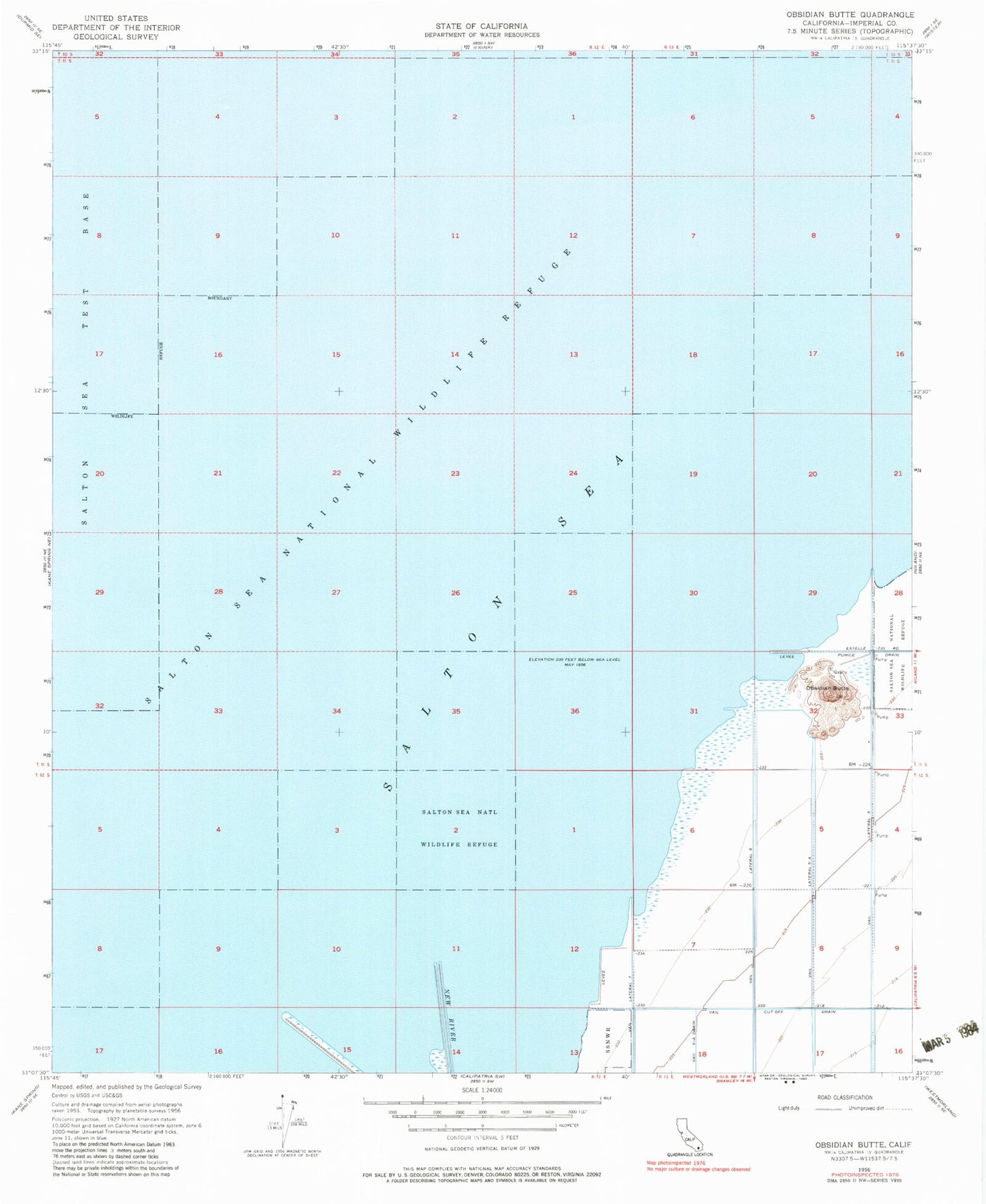
Classic USGS Obsidian Butte California 7.5'x7.5' Topo Map
Regular price
$16.95
Regular price
Sale price
$16.95
Unit price
per
Couldn't load pickup availability
Historical USGS topographic quad map of Obsidian Butte in the state of California. Map scale may vary for some years, but is generally around 1:24,000. Print size is approximately 24" x 27"
This quadrangle is in the following counties: Imperial.
The map contains contour lines, roads, rivers, towns, and lakes. Printed on high-quality waterproof paper with UV fade-resistant inks, and shipped rolled.
Contains the following named places: New River, Obsidian Butte, SCE Salton Sea Heliport, Vail Cut Off Drain, Vail Lateral Five, Vail Lateral Five-A, Vail Lateral Seven, Vail Lateral Six, Vail Six-A Drain