MyTopo
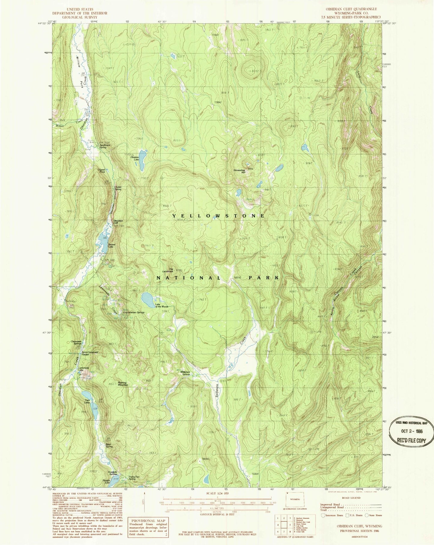
Classic USGS Obsidian Cliff Wyoming 7.5'x7.5' Topo Map
Couldn't load pickup availability
Historical USGS topographic quad map of Obsidian Cliff in the state of Wyoming. Map scale may vary for some years, but is generally around 1:24,000. Print size is approximately 24" x 27"
This quadrangle is in the following counties: Park.
The map contains contour lines, roads, rivers, towns, and lakes. Printed on high-quality waterproof paper with UV fade-resistant inks, and shipped rolled.
Contains the following named places: Amphitheater Springs, Apollinaris Spring, Beaver Lake, Bijah Spring, Clearwater Springs, Crystal Spring, Frying Pan Spring, Horseshoe Hill, Horseshoe Spring, Lake of the Woods, Lemonade Creek, Lemonade Lake, Lilypad Pond, Nymph Lake, Obsidian Canyon, Obsidian Cliff, Obsidian Lake, Porcelain Basin, Roadside Springs, Roaring Mountain, Semi-Centennial Geyser, The Landmark, Twin Lakes, Whiterock Springs, Willow Park, Winter Creek