
MyTopo
Classic USGS Ocala Nevada 7.5'x7.5' Topo Map
Regular price
$16.95
Regular price
Sale price
$16.95
Unit price
per
Couldn't load pickup availability
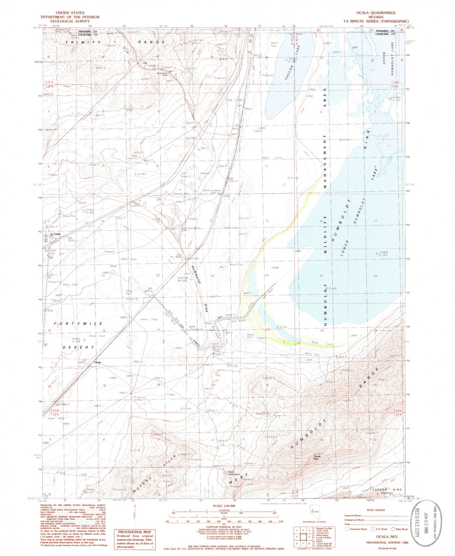
Historical USGS topographic quad map of Ocala in the state of Nevada. Map scale may vary for some years, but is generally around 1:24,000. Print size is approximately 24" x 27"
This quadrangle is in the following counties: Churchill, Pershing.
The map contains contour lines, roads, rivers, towns, and lakes. Printed on high-quality waterproof paper with UV fade-resistant inks, and shipped rolled.
Contains the following named places: Cressid, Fanning, Hazel Mine, Humboldt Dike, Humboldt Lake, Lower Humboldt Drain, Miriam, Ocala, Old California Trail, Old California Trail East Road, Oneida Mill, Saint Anthony Mine, Topog Peak, Toy Mill, Trinity


