MyTopo
Classic USGS Oceanside California 7.5'x7.5' Topo Map
Couldn't load pickup availability
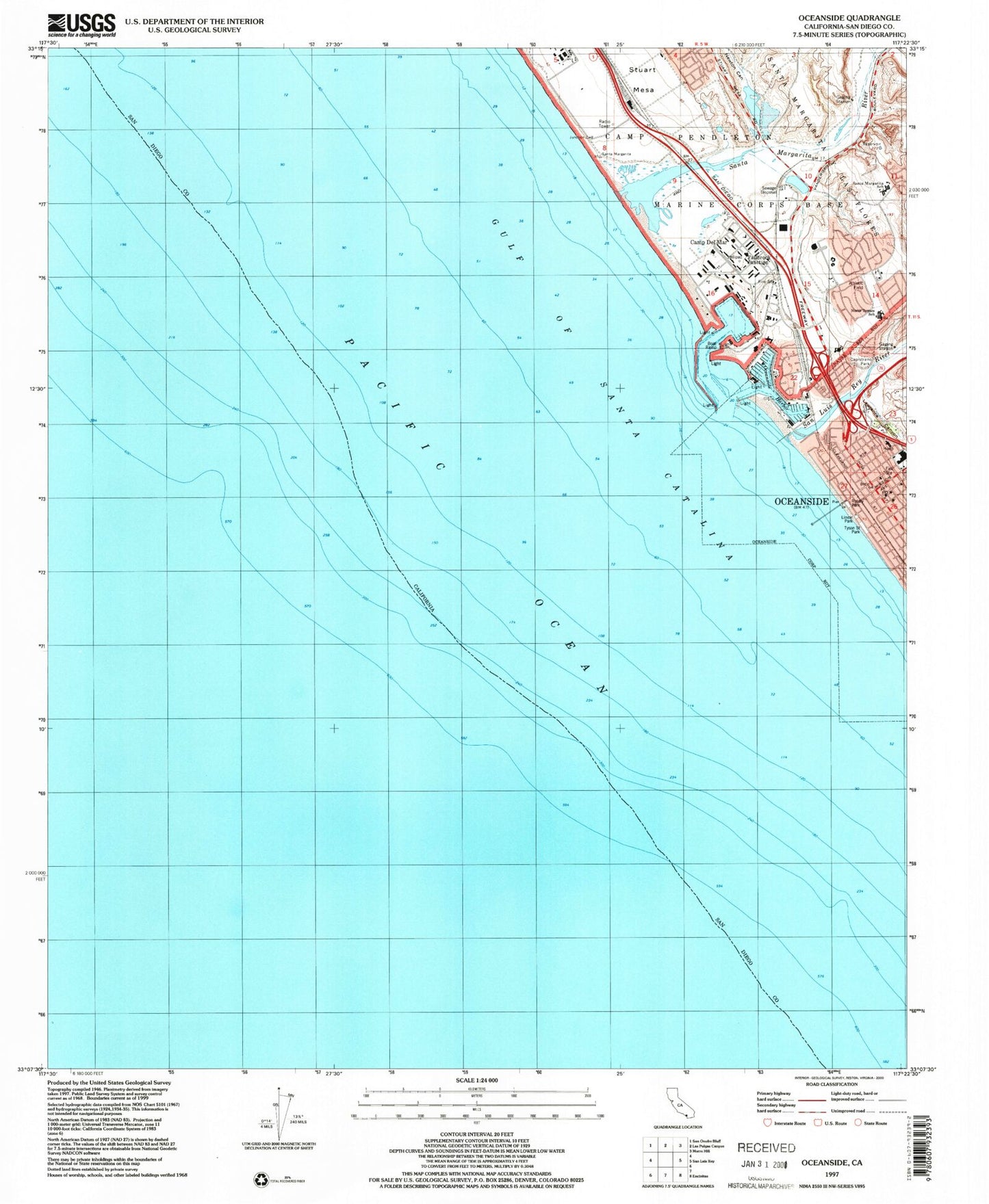
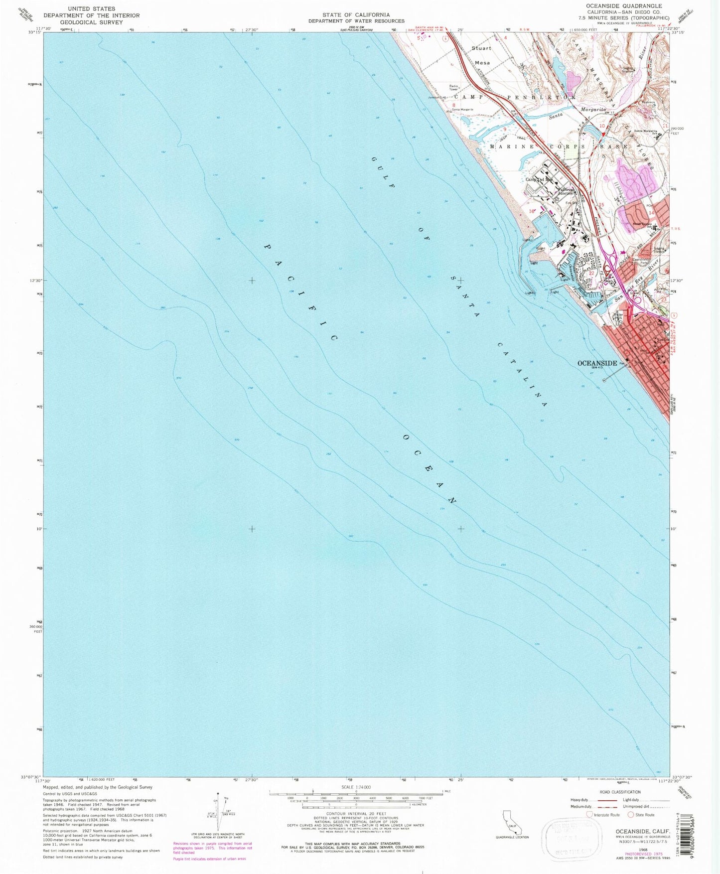
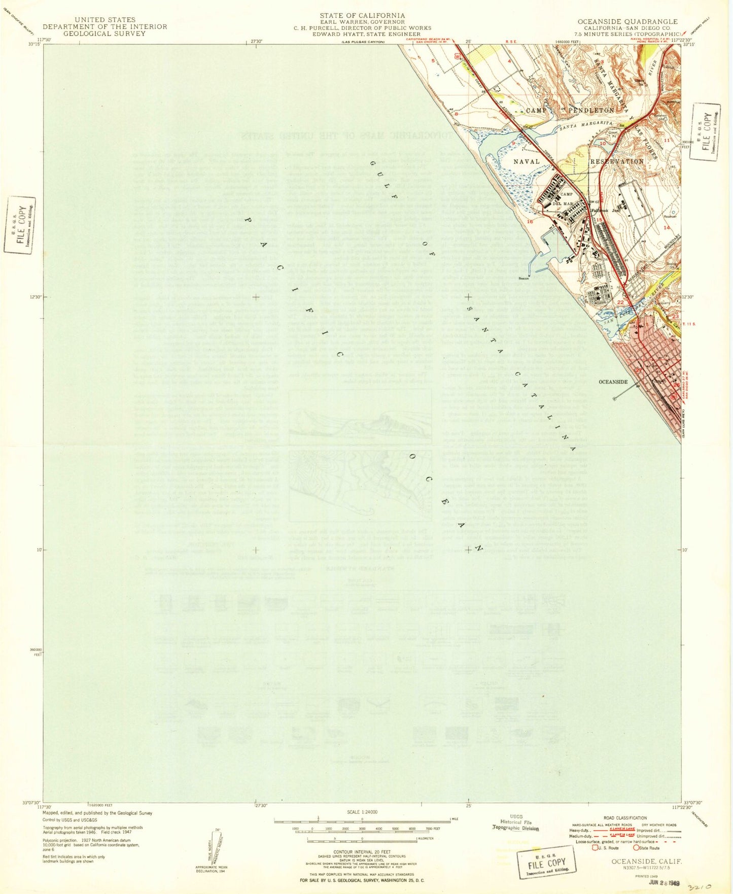
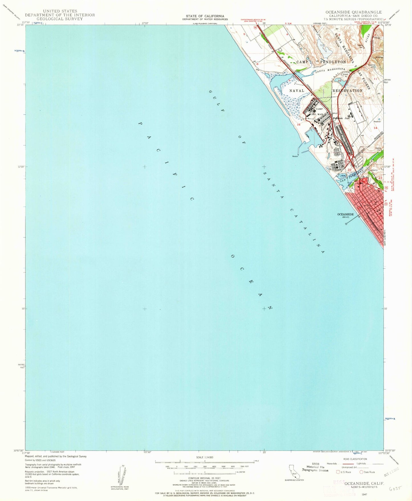
Historical USGS topographic quad map of Oceanside in the state of California. Map scale may vary for some years, but is generally around 1:24,000. Print size is approximately 24" x 27"
This quadrangle is in the following counties: San Diego.
The map contains contour lines, roads, rivers, towns, and lakes. Printed on high-quality waterproof paper with UV fade-resistant inks, and shipped rolled.
Contains the following named places: Camp Del Mar, Camp Pendleton, Camp Pendleton Fire Department Station 5, Camp Pendleton South Census Designated Place, Cape Cod Village Shopping Center, Capistrano Park, Church of God, Del Mar Boat Basin, Fallbrook Junction, First Baptist Church, First Christian Church, First Methodist Episcopal Church, First Street Post Office, Harbor Beach, Lawrence Canyon, Mission Square Shopping Center, Naval Hospital Camp Pendleton, Newton Canyon, North Harbor, North Terrace Elementary School, Oceanside, Oceanside Chamber of Commerce and Visitor Information Center, Oceanside City Beach, Oceanside City Hall, Oceanside City Hospital, Oceanside Community Center, Oceanside Fire Department Station 1, Oceanside Harbor, Oceanside Pier, Pacific Street Linear Park, Rotary Park, Saint Marys Star of the Sea Roman Catholic Church, San Luis Rey River, San Rafael Elementary School, Santa Margarita Marsh, Santa Margarita River, Santa Margarita School, South Harbor, The Strand, Tyson Street Park, Yaldora


