MyTopo
Classic USGS Ochillee Georgia 7.5'x7.5' Topo Map
Couldn't load pickup availability
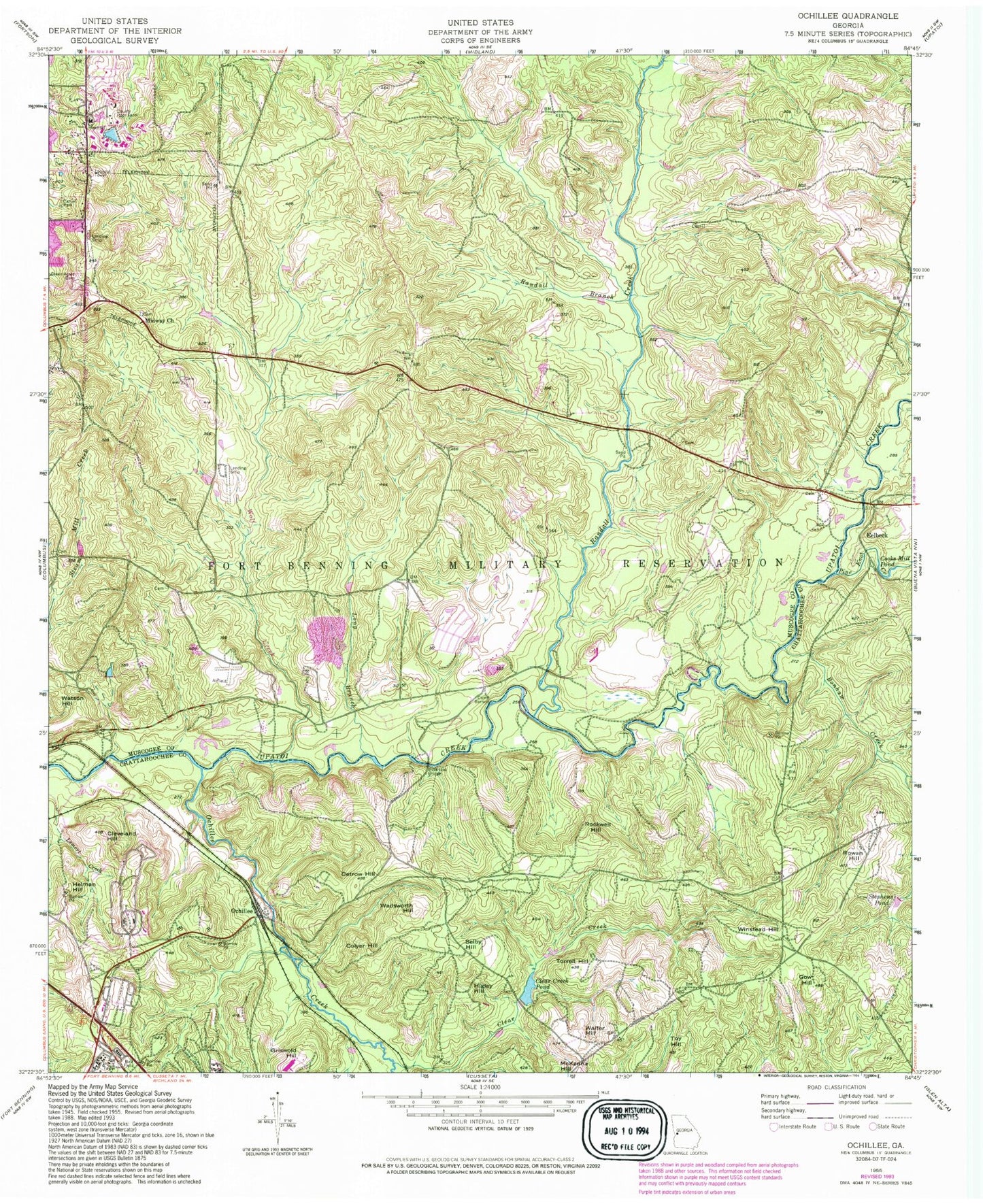
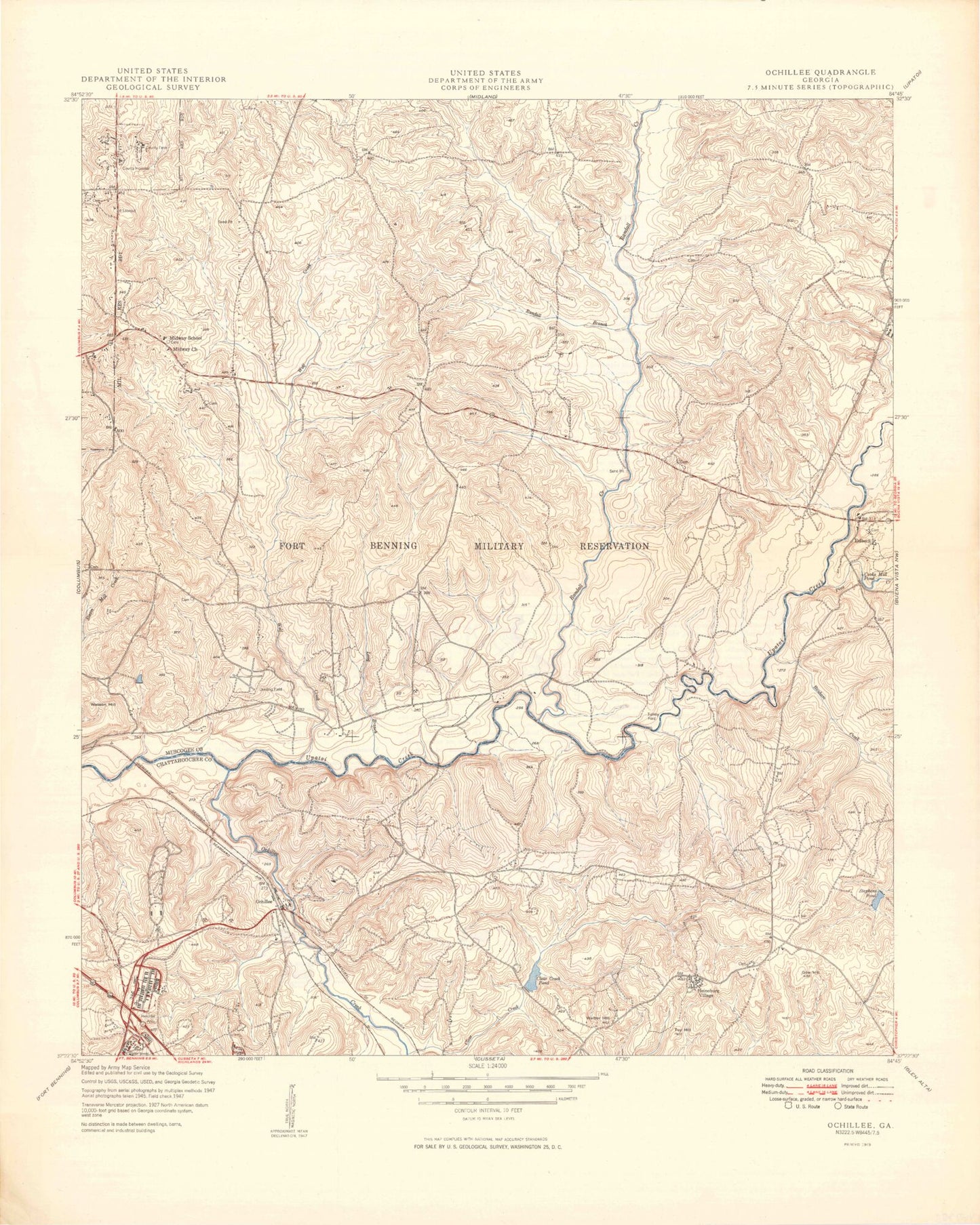
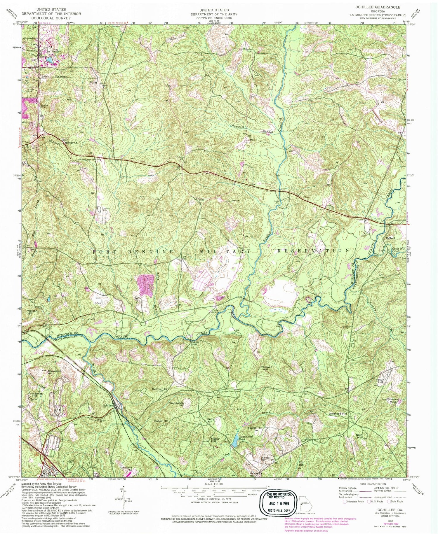
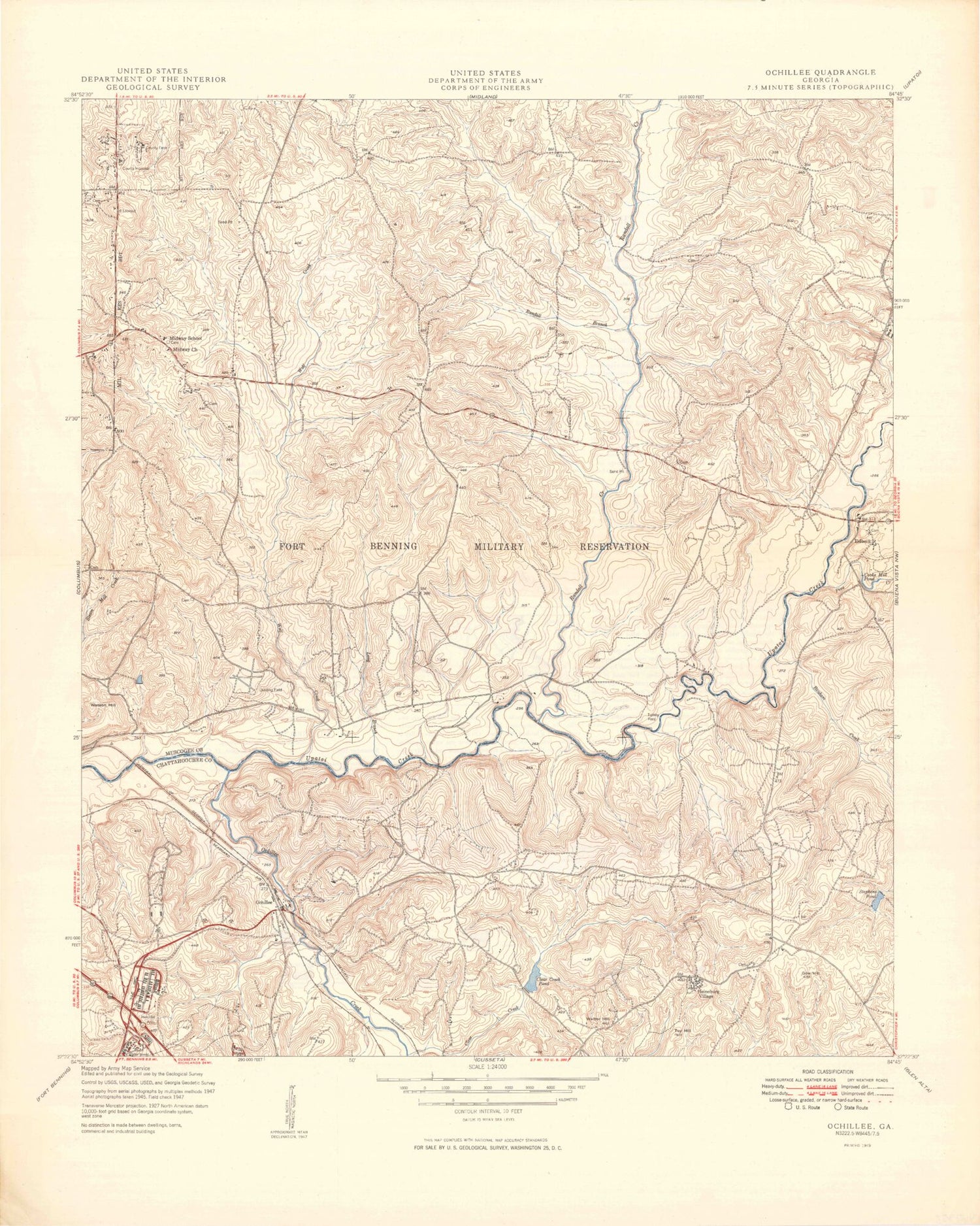
Historical USGS topographic quad map of Ochillee in the state of Georgia. Typical map scale is 1:24,000, but may vary for certain years, if available. Print size: 24" x 27"
This quadrangle is in the following counties: Chattahoochee, Muscogee.
The map contains contour lines, roads, rivers, towns, and lakes. Printed on high-quality waterproof paper with UV fade-resistant inks, and shipped rolled.
Contains the following named places: Bonham Creek, Camp Barnett, Clear Creek, Clear Creek Pond, Cleveland Hill, Cooks Mill Pond, Detrow Hill, Gow Hill, Green Acres Cemetery, Griswold Hill, Lemert Creek, Long Branch, McBrides Bridge, Midway Church, Randall Branch, Randall Creek, Rowan Hill, Stephens Pond, Torrell Hill, Toy Hill, Wolf Creek, Colyer Hill, Herman Hill, Higley Hill, Ochillee, Rockwell Hill, Selby Hill, Wadsworth Hill, Walter Hill, Watson Hill, Winstead Hill, Muscogee County Poor Farm, Cooks Mill (historical), Harmony Church (historical), Heineburg Village (historical), McBride Ford, Turkey Ford, Eelbeck, Ochillee Creek, Pine Knot Creek, Emmaus Church (historical), Midway School (historical), Muscogee Manor, Sun Hill, West Central Georgia Regional Hospital, Fort Benning, Fort Benning Division, Muscogee County Correctional Institution, Columbus Transitional Center, Rutledge State Prison


