MyTopo
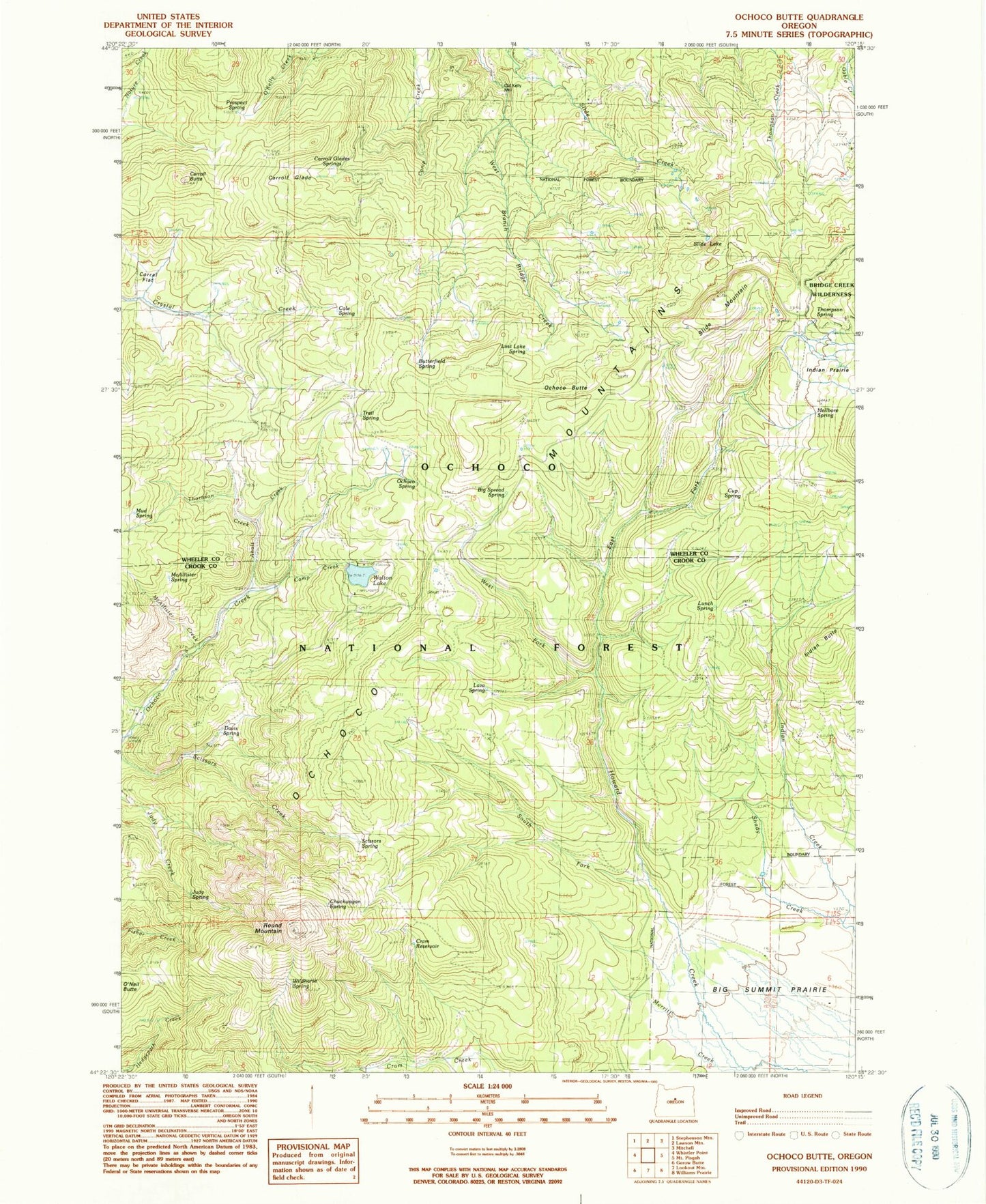
Classic USGS Ochoco Butte Oregon 7.5'x7.5' Topo Map
Couldn't load pickup availability
Historical USGS topographic quad map of Ochoco Butte in the state of Oregon. Map scale may vary for some years, but is generally around 1:24,000. Print size is approximately 24" x 27"
This quadrangle is in the following counties: Crook, Wheeler.
The map contains contour lines, roads, rivers, towns, and lakes. Printed on high-quality waterproof paper with UV fade-resistant inks, and shipped rolled.
Contains the following named places: Ahalt Creek, Arthur Creek Camp, Bacon Reservoir, Big Spread Spring, Butterfield Spring, Cady Creek, Camp Creek, Carroll Butte, Carroll Glade, Carroll Glade Springs, Cole Spring, Corral Flat, Cram Reservoir, Crystal Springs Organization Camp, Cup Spring, Davis Spring, Dunn Spring, East Fork Howard Creek, Fisher Spring, Hellbore Spring, Howard Spring, Indian Butte, Indian Prairie, Judy Spring, King Dam, Lake Spring, Lava Spring, Lost Lake Spring, Lunch Spring, Mayflower Mining Settlement, McAllister Creek, McAllister Spring, Merritt Creek, Mud Spring, Ochoco Butte, Ochoco Mine, Ochoco Post Office, Ochoco Spring, Old Kelly Mill, Poison Spring, Prospect Spring, Round Mountain, Round Mountain Mine, Scissors Spring, Scissorsville, Sheep Corrals, Simpson Place, Slide Lake, Slide Mountain, South Fork Howard Creek, Thompson Spring, Thronson Creek, Trail Spring, Walton Lake, Walton Lake Boat Ramp, Walton Lake Campground, Walton Lake Recreation Site, West Fork Howard Creek, Wildhorse Spring, Wildwood Recreation Site


