MyTopo
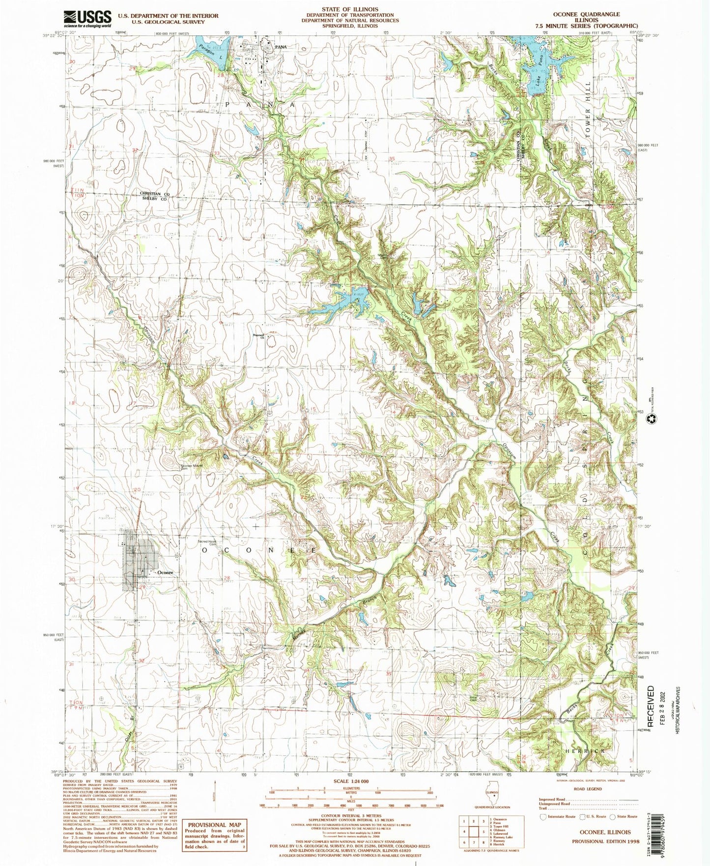
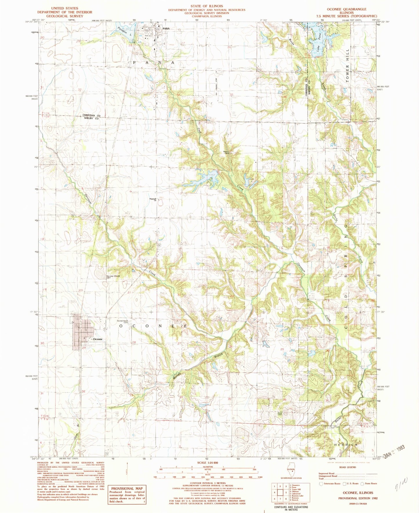
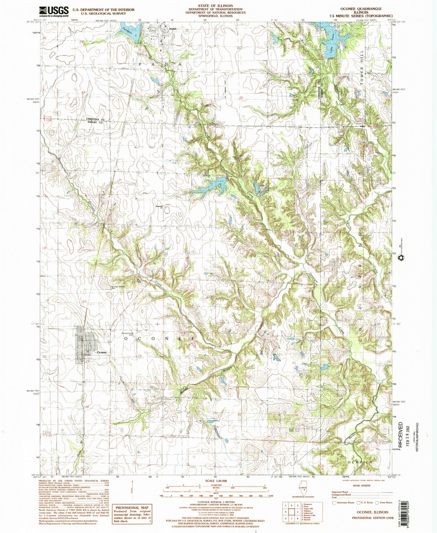
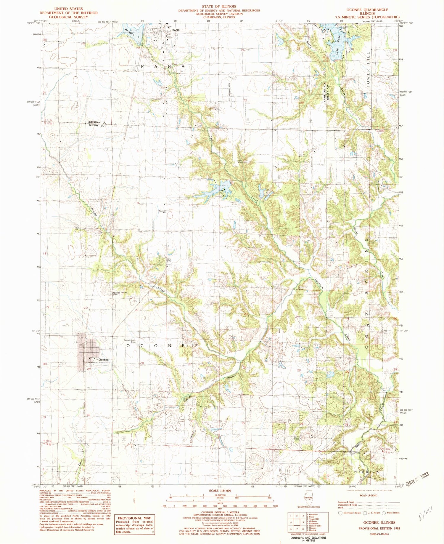
Classic USGS Oconee Illinois 7.5'x7.5' Topo Map
Couldn't load pickup availability
Historical USGS topographic quad map of Oconee in the state of Illinois. Typical map scale is 1:24,000, but may vary for certain years, if available. Print size: 24" x 27"
This quadrangle is in the following counties: Christian, Shelby.
The map contains contour lines, roads, rivers, towns, and lakes. Printed on high-quality waterproof paper with UV fade-resistant inks, and shipped rolled.
Contains the following named places: Black Oak School (historical), Coal Creek, Green Valley School (historical), Hickory School (historical), Hopewell Baptist Church, Maple Grove School (historical), Matney Branch, Mount Pleasant School (historical), Mount Victory School (historical), New Harmony School (historical), Oconee, Oconee Mound Cemetery, Opossum Creek, Lake Pana, Price Cemetery, Progress School (historical), Round Prairie School (historical), Sacred Heart Cemetery, Sylvan School (historical), White Oak School (historical), WXKO-FM (Pana), Township of Oconee, Pana Lake Dam, Paragon Lake Dam, Paragon Lake, Boy Scout Lake Dam, Boy Scout Lake, Coal Creek Cemetery, Tex Landing Strip (historical), Village of Oconee, Oconee Post Office


