MyTopo
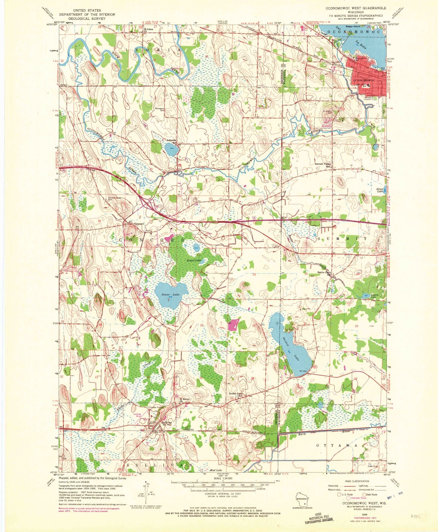
Classic USGS Oconomowoc West Wisconsin 7.5'x7.5' Topo Map
Couldn't load pickup availability
Historical USGS topographic quad map of Oconomowoc West in the state of Wisconsin. Map scale may vary for some years, but is generally around 1:24,000. Print size is approximately 24" x 27"
This quadrangle is in the following counties: Jefferson, Waukesha.
The map contains contour lines, roads, rivers, towns, and lakes. Printed on high-quality waterproof paper with UV fade-resistant inks, and shipped rolled.
Contains the following named places: Battle Creek, Battle Creek Airport, Battle Creek School, Blain Street Park, Chaffee Road Park, Champion Field, Concord, Concord Center Cemetery, Concord Elementary School, Concord Methodist Church Cemetery, Concord United Methodist Church, First Baptist Church, First Congregational United Church of Christ, First Methodist Church, Golden Lake, Golden Lake School, Goose Lake, Islandale, Lakeside School, Laura Lake, Lincoln Public School, McDermott Air Park, Mud Lake, Newton Cemetery, Norwegian Cemetery, Oconomowoc Public Library, Oconomowoc River, Oconomowoc Wastewater Treatment Facility, Park Lawn Elementary School, Roosevelt Field, Round Lake, Saint Jerome Cemetery, Saint Johns Church, Saint Marys Church, Saint Marys Help of Christians Cemetery, Saint Matthews Evangelical Lutheran Church, Spacious Acres, Sullivan, Sullivan Elementary School, Sullivan Emergency Medical Services, Sullivan Post Office, Sullivan Volunteer Fire Department, Sullivan Wastewater Treatment Facility, Summit Valley School, Sybil Lake, Town of Concord, Village of Sullivan, Webster - Holcomb Cemetery, Western Lakes Fire District Station 3, ZIP Code: 53178


