MyTopo
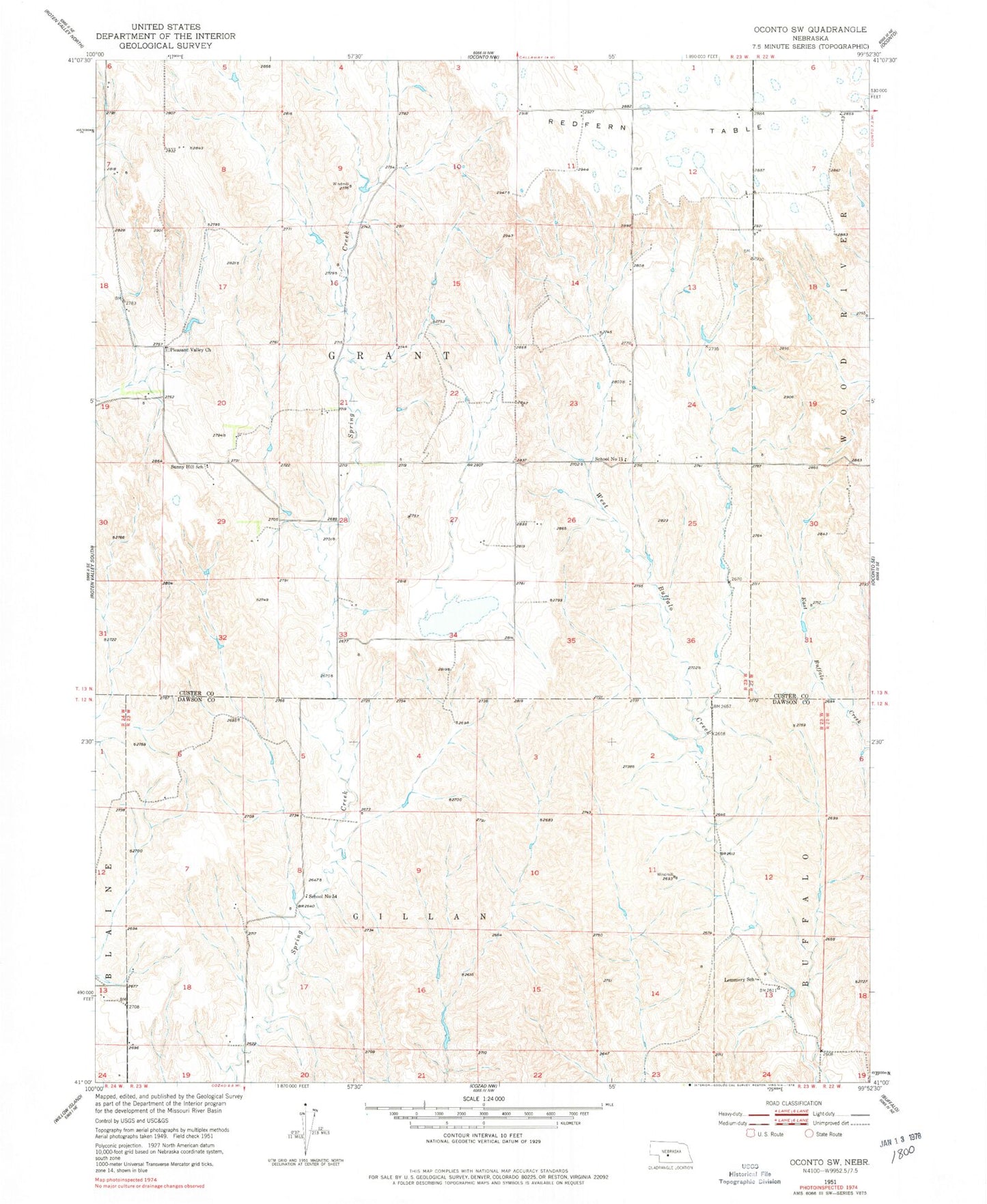
Classic USGS Oconto SW Nebraska 7.5'x7.5' Topo Map
Couldn't load pickup availability
Historical USGS topographic quad map of Oconto SW in the state of Nebraska. Map scale may vary for some years, but is generally around 1:24,000. Print size is approximately 24" x 27"
This quadrangle is in the following counties: Custer, Dawson.
The map contains contour lines, roads, rivers, towns, and lakes. Printed on high-quality waterproof paper with UV fade-resistant inks, and shipped rolled.
Contains the following named places: Floodwater Retarding Dam 11-A, Lemmer East Dam, Lemmer East Reservoir, Lemmer North Dam, Lemmer North Reservoir, Lemmer South Dam, Lemmer South Reservoir, Lemmery School, Pleasant Valley Church, School Land Dam Number 4, School Land Reservoir Number 4, School Number 11, School Number 54, Spring Creek Reservoir 11-A, Sunny Hill School, Township of Grant