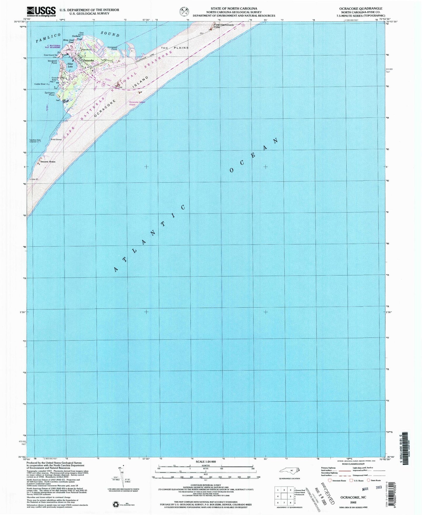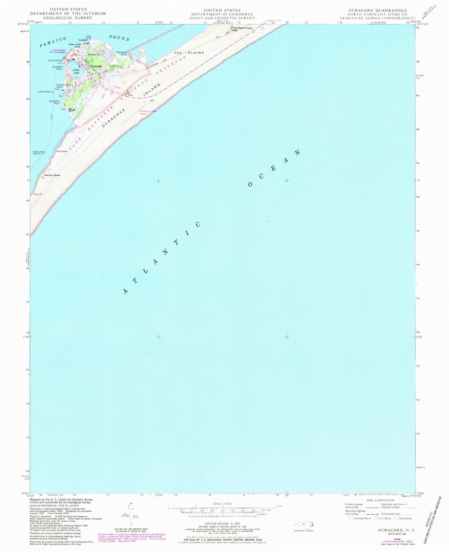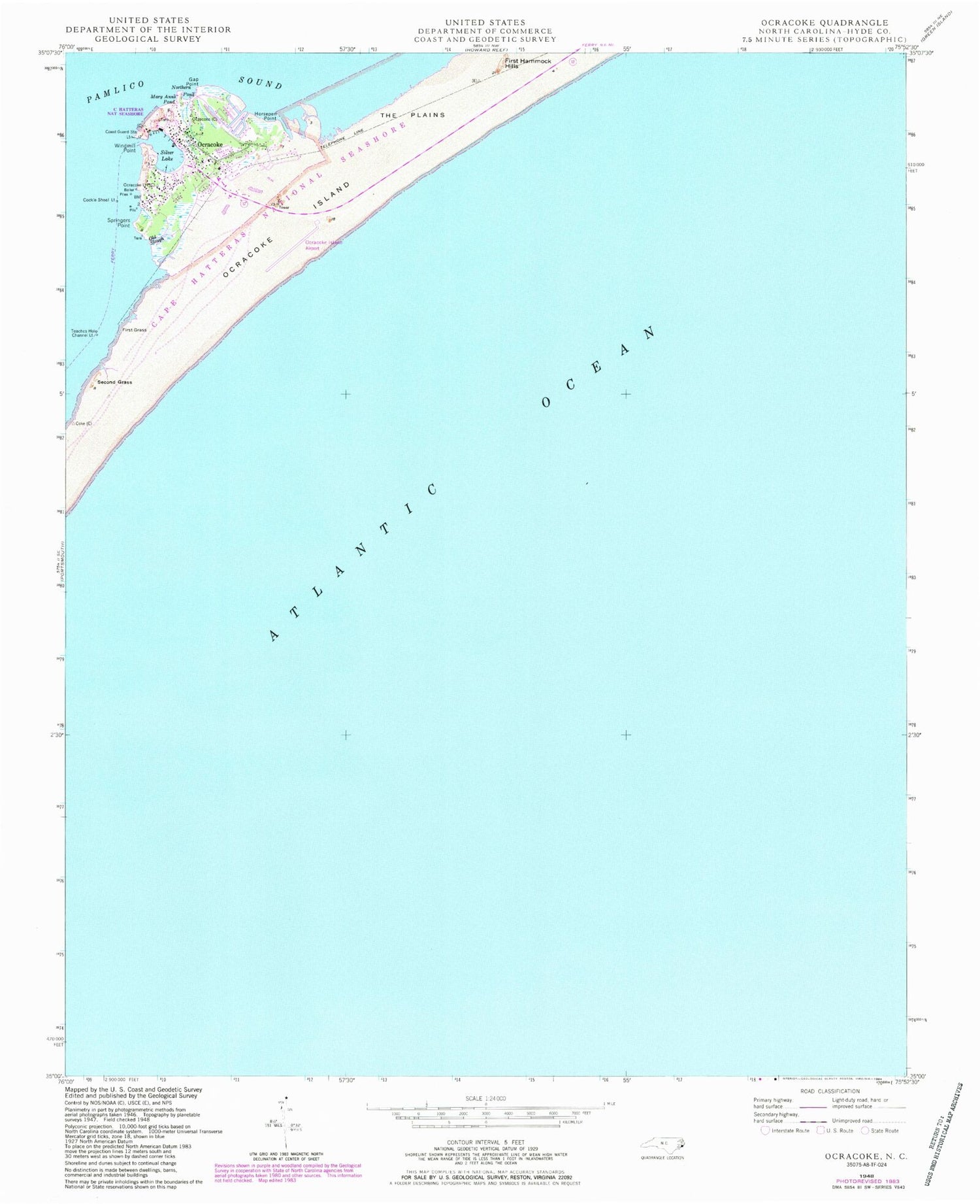
MyTopo
Classic USGS Ocracoke North Carolina 7.5'x7.5' Topo Map
Couldn't load pickup availability
Historical USGS topographic quad map of Ocracoke in the state of North Carolina. Map scale may vary for some years, but is generally around 1:24,000. Print size is approximately 24" x 27"
This quadrangle is in the following counties: Hyde.
The map contains contour lines, roads, rivers, towns, and lakes. Printed on high-quality waterproof paper with UV fade-resistant inks, and shipped rolled.
Contains the following named places: Anchorage Inn, Assembly of God Church, British Cemetery, Cockle Shoal Light, Ferry Office, First Grass, First Hammock Hills, Gap Point, Horsepen Point, Hyde County EMS Ocracoke Island Station, Jackson Dunes, Mary Anns Pond, Northern Pond, Ocracoke, Ocracoke Island Airport, Ocracoke Light House, Ocracoke Post Office, Ocracoke Volunteer Fire Department, Okracoke Fire Hall, Okracoke Sheriffs Office, Old Slough, Oyster Creek, Pamlico Shores, Raleigh Bay, Second Grass, Silver Lake, Sound Shores, Springers Point, Teaches Hole Channel, Teaches Hole Channel Light, The Plains, United States Park Service Campgrounds, United States Park Service Docks, Widgen Woods, Windmill Point, ZIP Code: 27960