MyTopo
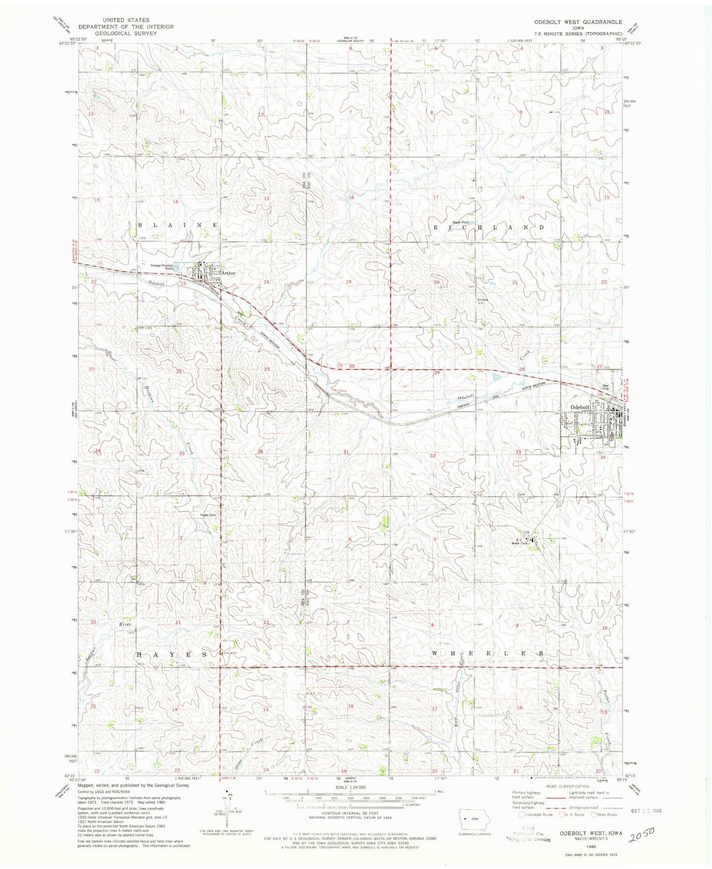
Classic USGS Odebolt West Iowa 7.5'x7.5' Topo Map
Couldn't load pickup availability
Historical USGS topographic quad map of Odebolt West in the state of Iowa. Map scale may vary for some years, but is generally around 1:24,000. Print size is approximately 24" x 27"
This quadrangle is in the following counties: Ida, Sac.
The map contains contour lines, roads, rivers, towns, and lakes. Printed on high-quality waterproof paper with UV fade-resistant inks, and shipped rolled.
Contains the following named places: Arthur, Arthur Church, Arthur City Hall, Arthur Fire Department, Arthur Post Office, Arthur Public Library, City of Arthur, City of Odebolt, Evangelical Free Church, Farmers Co-op Elevator, Hayes Township Cemetery, Methodist Church, Noah Webster Christian Academy, OABCIG Elementary School - Odebolt, OABCIG Middle School, Odebolt, Odebolt City Hall, Odebolt Fire Department, Odebolt Historical Museum, Odebolt Medical Clinic, Odebolt Post Office, Odebolt Public Library, Odebolt-Arthur Middle School, Presbyterian Church, Sac County Golf Club, Saint Martins Catholic Church, Township of Richland, Township of Wheeler, Trinity Lutheran Church, Wall Lake Station, Wheelers Ranch, Winebrenner Church of God, ZIP Code: 51431