MyTopo
Classic USGS Odell Lake Oregon 7.5'x7.5' Topo Map
Couldn't load pickup availability
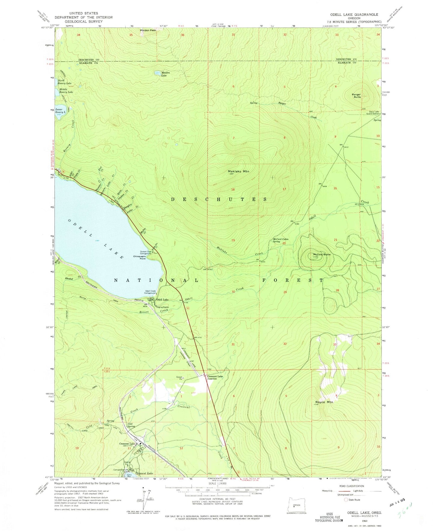
Historical USGS topographic quad map of Odell Lake in the state of Oregon. Typical map scale is 1:24,000, but may vary for certain years, if available. Print size: 24" x 27"
This quadrangle is in the following counties: Deschutes, Klamath.
The map contains contour lines, roads, rivers, towns, and lakes. Printed on high-quality waterproof paper with UV fade-resistant inks, and shipped rolled.
Contains the following named places: Alder Creek, Antler Creek, Chinquapin Point, Cold Spring Creek, Cold Spring, Crater Butte Trail, Crescent Lake, Crescent Lake Junction, Davis Lake Guard Station, Douglas Creek, Fawn Lake Trail, Fire Creek, Little Creek, Lower Rosary Lake, Mafler Creek, Maiden Lake, Maklaks Creek, Maklaks Mountain, McCool Butte, McCord Cabin Spring, Odell Creek Recreation Site, Orphan Creek, Pretty Lake Trail, Quita Creek, Ranger Butte, Resort Creek, Rhodod Creek, Royce Mountain, Solomon Creek, Sunset Cove Recreation Site, Thunder Creek, Triple Creek, Wharf Creek, Sunset Cove, Johnston Creek, Crescent Lake State Airport, Royce Mountain Snow Park (historical), Crescent Lake Guard Station, Crescent Lake Resort, No-See-Em Creek, Odell Lake, Crescent Lake Dam, Crescent Lake Post Office, Crescent Lake Sno-Park, Junction Sno-Park, Crescent Lake Recreation Site, Central Cascades Fire and Emergency Medical Services, Central Cascade Fire and Emergency Medical Services Heliport, Crescent Lake Resort Marina, Odell Lake Resort Marina, Odell Lake Resort Boat Ramp, Crescent Lake Resort Boat Ramp, Sunset Cove Campground Boat Ramp, Crescent Lake, Crescent Lake Census Designated Place


