MyTopo
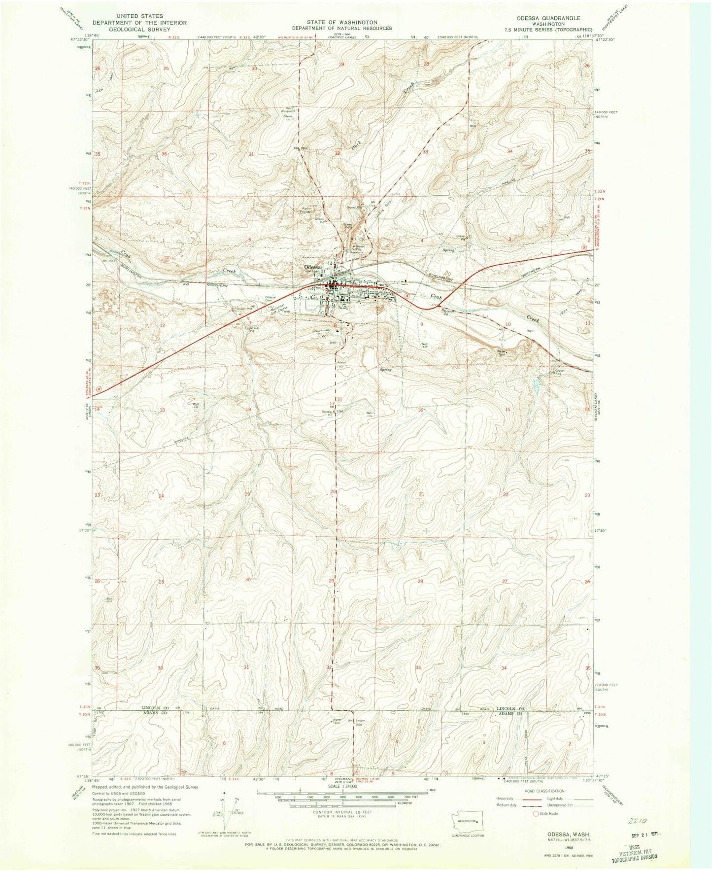
Classic USGS Odessa Washington 7.5'x7.5' Topo Map
Couldn't load pickup availability
Historical USGS topographic quad map of Odessa in the state of Washington. Map scale may vary for some years, but is generally around 1:24,000. Print size is approximately 24" x 27"
This quadrangle is in the following counties: Adams, Lincoln.
The map contains contour lines, roads, rivers, towns, and lakes. Printed on high-quality waterproof paper with UV fade-resistant inks, and shipped rolled.
Contains the following named places: Duck Creek, Lincoln - Adams County Fire District 3, Odessa, Odessa Ambulance, Odessa Cemetery, Odessa City Police Department, Odessa Memorial Healthcare Center - Hospital, Odessa Municipal Airport, Odessa Post Office, P C Jantz Elementary/Odessa High School, Reich Windmill, Reisenauer Dam Number One, Reisenauer Dam Number Two, Town of Odessa