MyTopo
Classic USGS Odland Dam NE Montana 7.5'x7.5' Topo Map
Regular price
$16.95
Regular price
Sale price
$16.95
Unit price
per
Couldn't load pickup availability
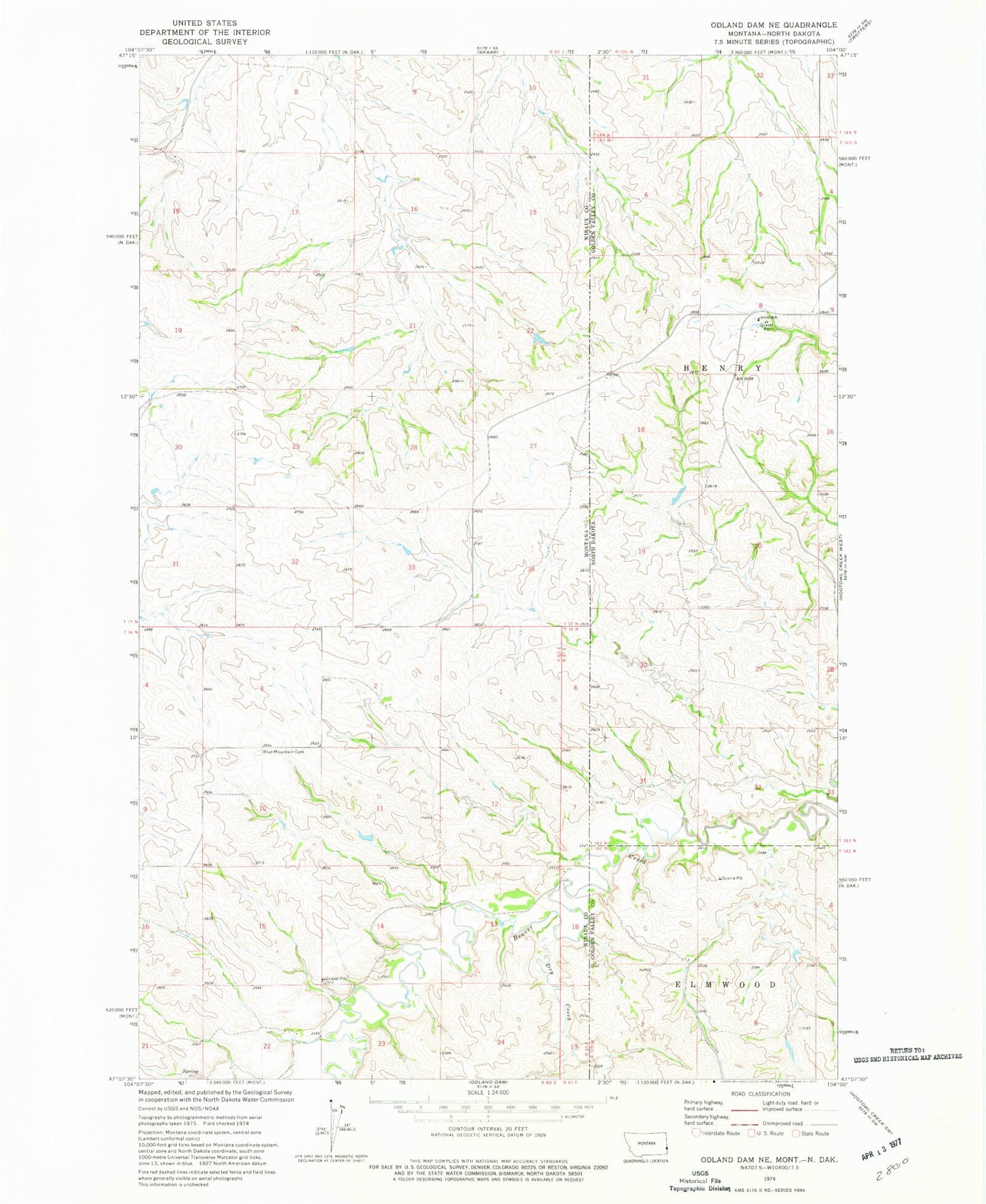
Historical USGS topographic quad map of Odland Dam NE in the states of Montana, North Dakota. Map scale may vary for some years, but is generally around 1:24,000. Print size is approximately 24" x 27"
This quadrangle is in the following counties: Golden Valley, Wibaux.
The map contains contour lines, roads, rivers, towns, and lakes. Printed on high-quality waterproof paper with UV fade-resistant inks, and shipped rolled.
Contains the following named places: 16N60E02BDDB01 Well, 16N60E02DBC_01 Well, 16N60E13ABAD01 Well, 17N60E05BBB_01 Well, 17N60E07DCCB01 Well, 17N60E17DCAB01 Well, Arvid School, Blue Mountain Cemetery, Daley School, Dry Creek, Hollar Dam, Lucky Creek School, W-Bar School