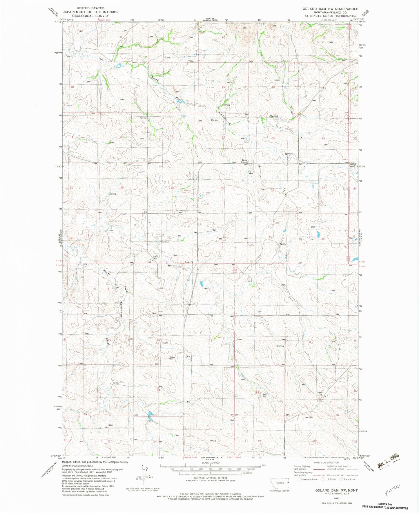
MyTopo
Classic USGS Odland Dam NW Montana 7.5'x7.5' Topo Map
Regular price
$16.95
Regular price
Sale price
$16.95
Unit price
per
Couldn't load pickup availability
Historical USGS topographic quad map of Odland Dam NW in the state of Montana. Map scale may vary for some years, but is generally around 1:24,000. Print size is approximately 24" x 27"
This quadrangle is in the following counties: Wibaux.
The map contains contour lines, roads, rivers, towns, and lakes. Printed on high-quality waterproof paper with UV fade-resistant inks, and shipped rolled.
Contains the following named places: 16N59E13CCB_01 Well, 17N59E14ACBD01 Well, 17N59E15AC__01 Well, 17N59E23BACD01 Well, 17N59E24BCC_01 Well, 17N59E26DBA_01 Well, 17N59E36BA__01 Well, Been, Been Cemetery, Been Post Office, Been School, Divide School, Wibaux Division, Williams School