MyTopo
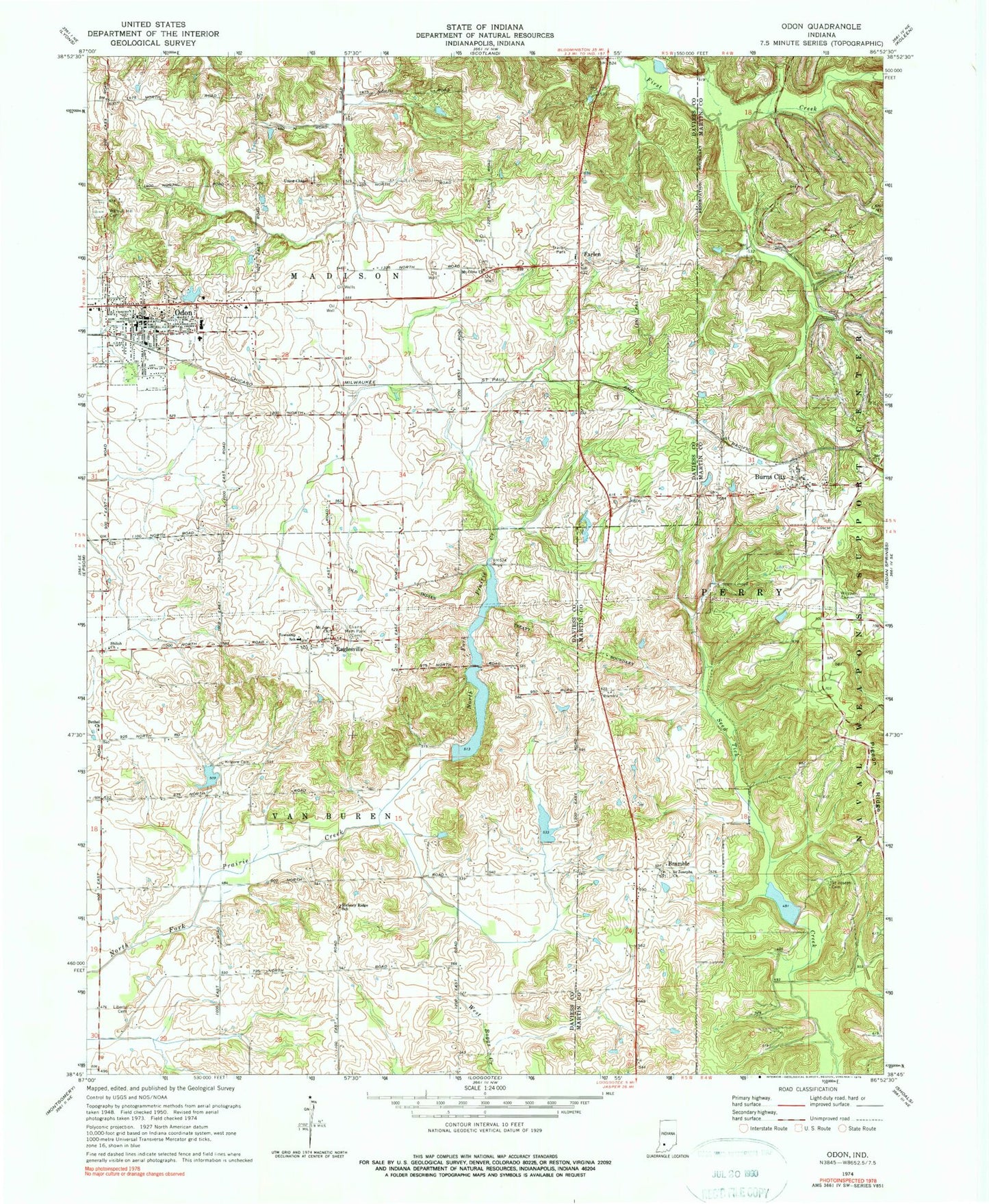
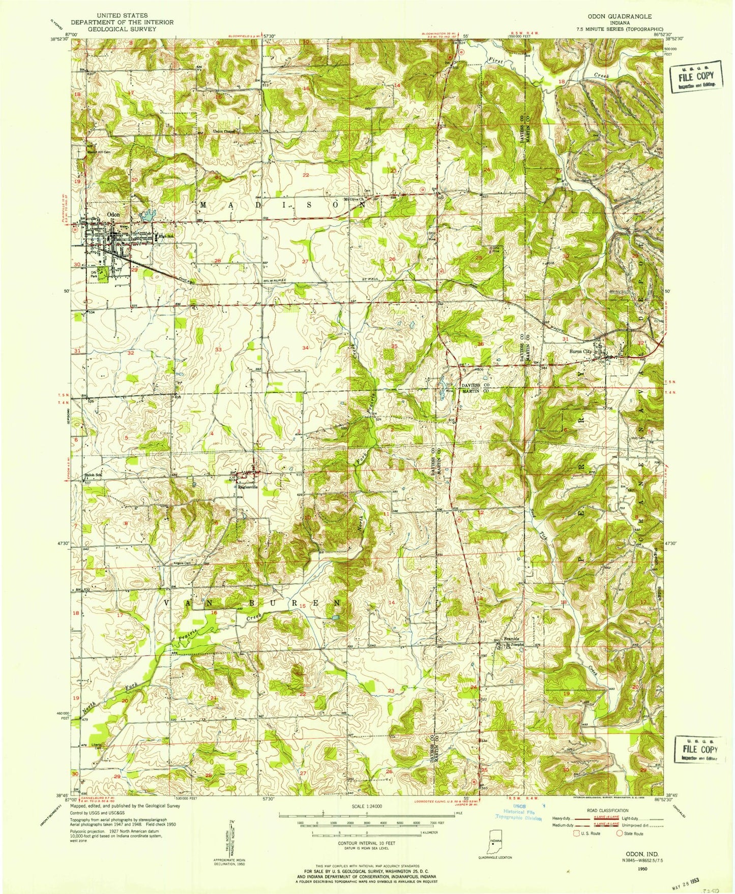
Classic USGS Odon Indiana 7.5'x7.5' Topo Map
Couldn't load pickup availability
Historical USGS topographic quad map of Odon in the state of Indiana. Map scale may vary for some years, but is generally around 1:24,000. Print size is approximately 24" x 27"
This quadrangle is in the following counties: Daviess, Martin.
The map contains contour lines, roads, rivers, towns, and lakes. Printed on high-quality waterproof paper with UV fade-resistant inks, and shipped rolled.
Contains the following named places: Bethel Church, Bramble, Burns City, Burns City Census Designated Place, Farlen, First Creek, Hickory Ridge School, Kilgore Cemetery, Liberty Cemetery, Mount Joy Church, Mount Olive Church, Odon, Odon Police Department, Odon Post Office, Odon Volunteer Fire Department, Prairie Creek Dam Number A-3-1, Prairie Creek Structure Number A-3-2, Prairie Creek Structure Number A-4-1, Raglesville, Raglesville Cemetery, Raglesville Census Designated Place, Raglesville School, Saint Joseph Cemetery, Saint Josephs Church, Seed Tick Lake, Shiloh Church, Soil and Water Conservancy District Dam, Town of Odon, Township of Madison, Township of Van Buren, Union Chapel, Waglers Greenhouse, Walnut Hill Cemetery, Williams Cemetery, ZIP Code: 47562