MyTopo
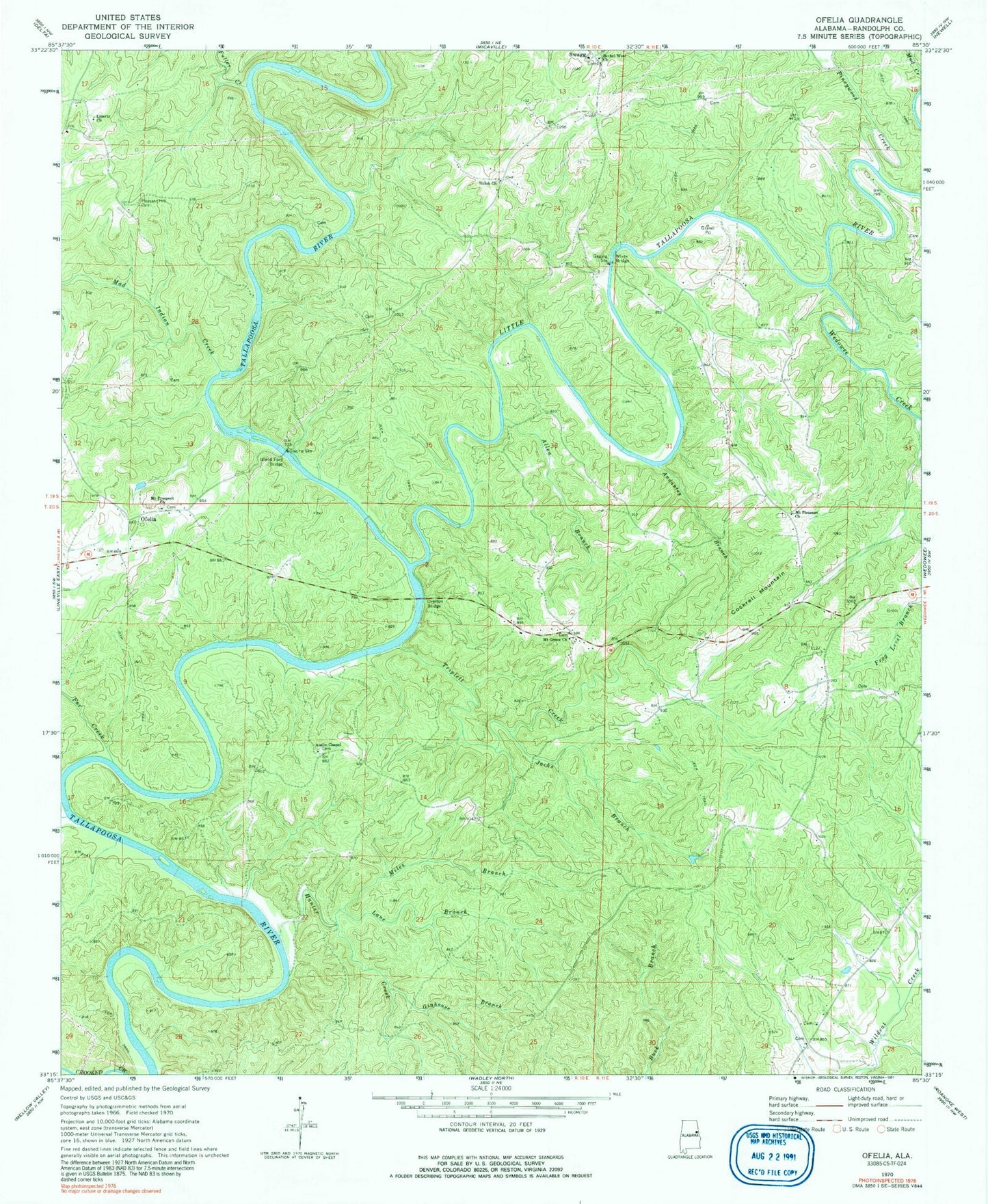
Classic USGS Ofelia Alabama 7.5'x7.5' Topo Map
Couldn't load pickup availability
Historical USGS topographic quad map of Ofelia in the state of Alabama. Map scale may vary for some years, but is generally around 1:24,000. Print size is approximately 24" x 27"
This quadrangle is in the following counties: Randolph.
The map contains contour lines, roads, rivers, towns, and lakes. Printed on high-quality waterproof paper with UV fade-resistant inks, and shipped rolled.
Contains the following named places: Allen Branch, Andanley Branch, Auslin Chapel, Bethel West Church, Blake Ferry, Boozer Cemetery, Brown Ford, Burrow Ferry, Butlers Ferry, Cockrell Mountain, Fox Creek, Fuller Creek, Gay, Ginhouse Branch, Hunter Creek, Ingraham Post Office, Island Ford, Island Ford Bridge, Jacks Branch, Lane Branch, Liberty, Liberty Church, Little Tallapoosa River, Mad Indian Creek, Michels Ford, Miles Branch, Mount Grove Baptist Church, Mount Pleasant Baptist Church, Mount Pleasant Baptist Church Cemetery, Mount Prospect Church, Ofelia, Overton Bridge, Pineywood Creek, Pleasant Grove Church, Pleasant Hill Cemetery, R L Harris Reservoir, Shiloh Church, Stephens Mission Church, Swagg, Taylors Mill, Triplett Creek, Wedowee Creek, Wedowee Division, White Bridge, Young Ford, ZIP Code: 36278