MyTopo
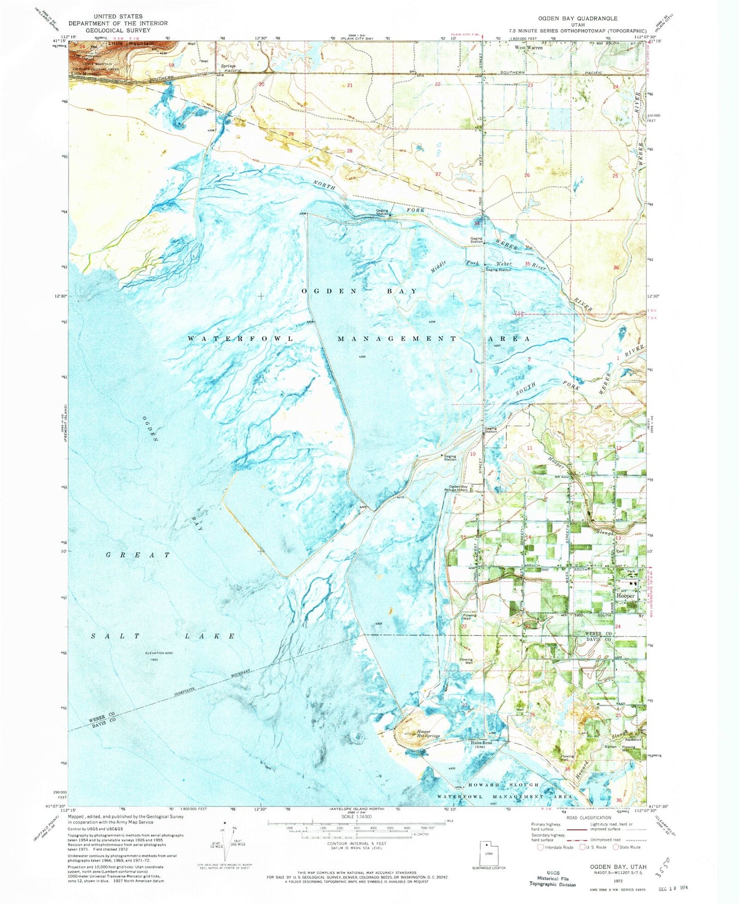
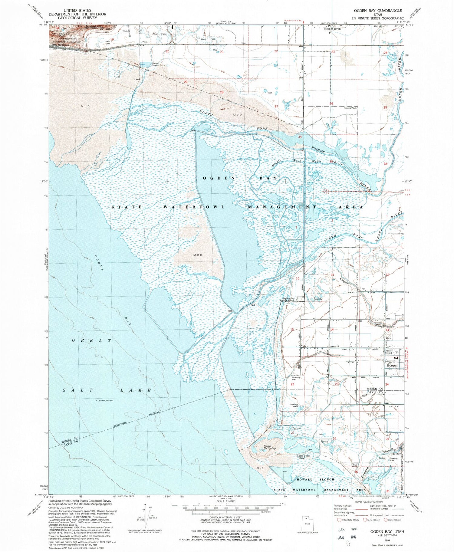
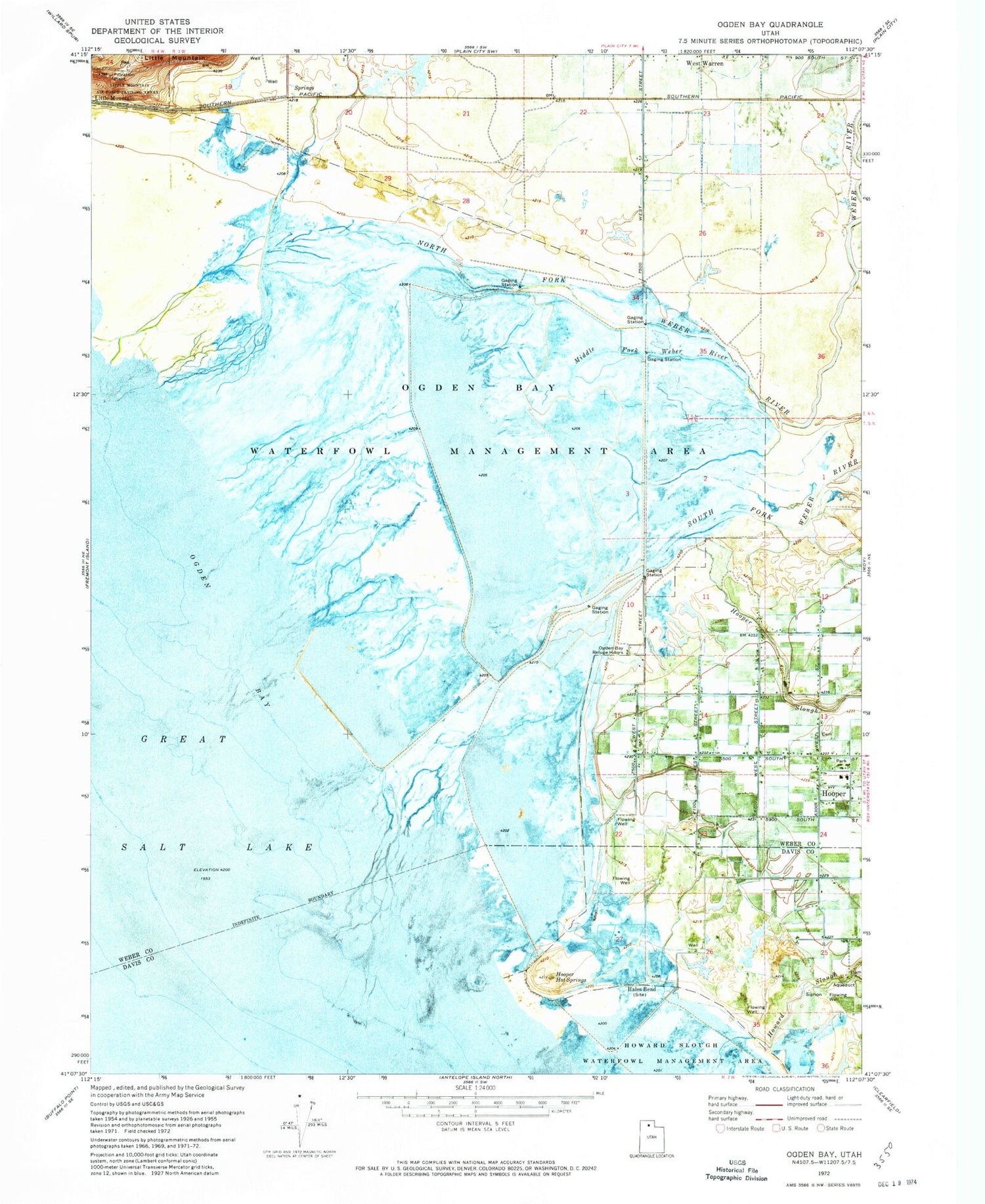
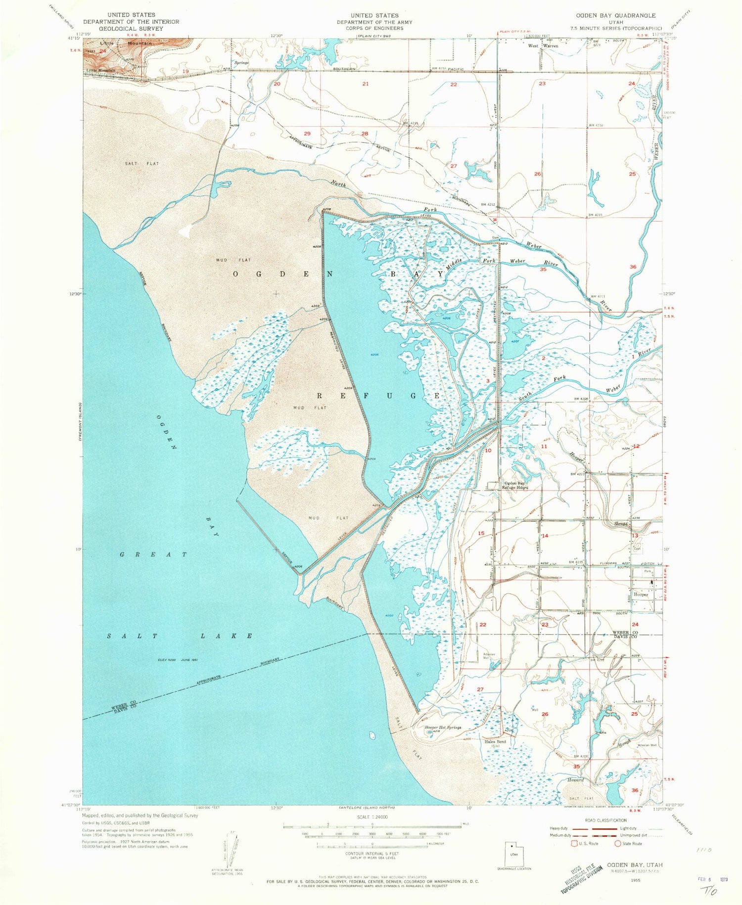
Classic USGS Ogden Bay Utah 7.5'x7.5' Topo Map
Couldn't load pickup availability
Historical USGS topographic quad map of Ogden Bay in the state of Utah. Map scale may vary for some years, but is generally around 1:24,000. Print size is approximately 24" x 27"
This quadrangle is in the following counties: Davis, Weber.
The map contains contour lines, roads, rivers, towns, and lakes. Printed on high-quality waterproof paper with UV fade-resistant inks, and shipped rolled.
Contains the following named places: Hales Bend, Hooper Cemetery, Hooper Hot Springs, Hooper Slough, Howard Slough, Middle Fork Weber River, Naisbitt Acres, Northwest Weber Division, Ogden Bay Refuge Headquarters, Ogden Bay Waterfowl Management Area, South Fork Weber River, The Church of Jesus Christ of Latter Day Saints, Weber River, ZIP Code: 84315