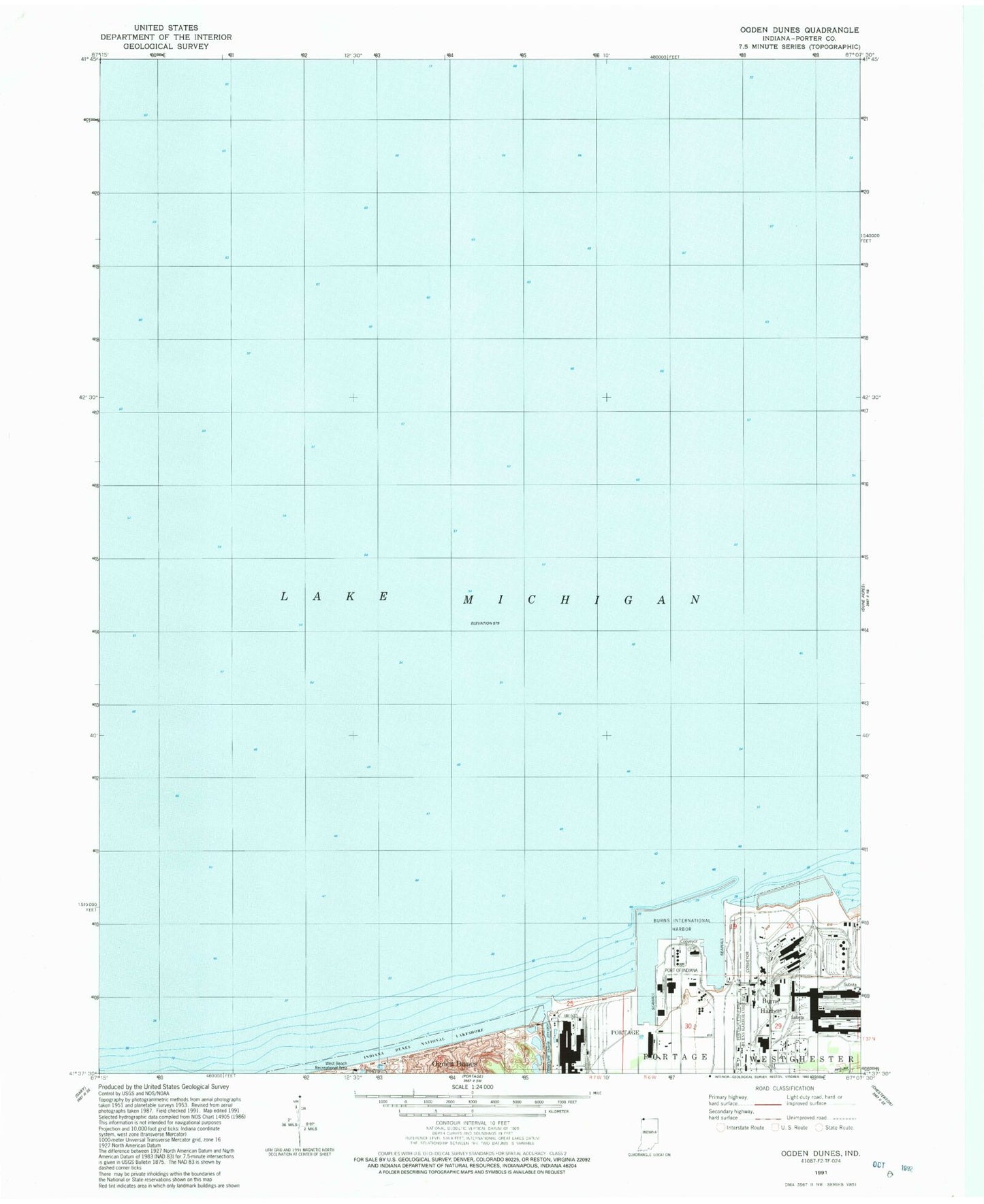
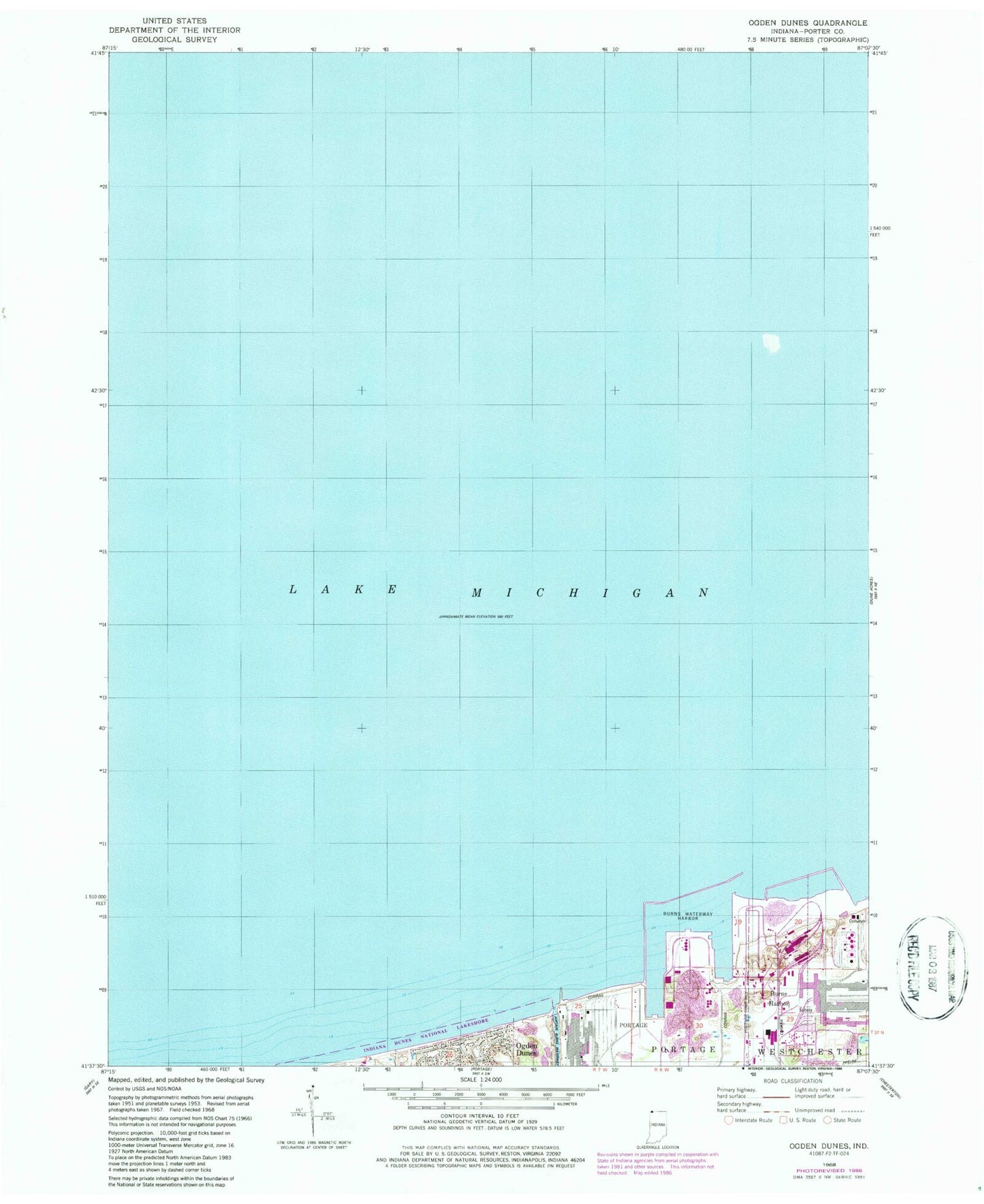
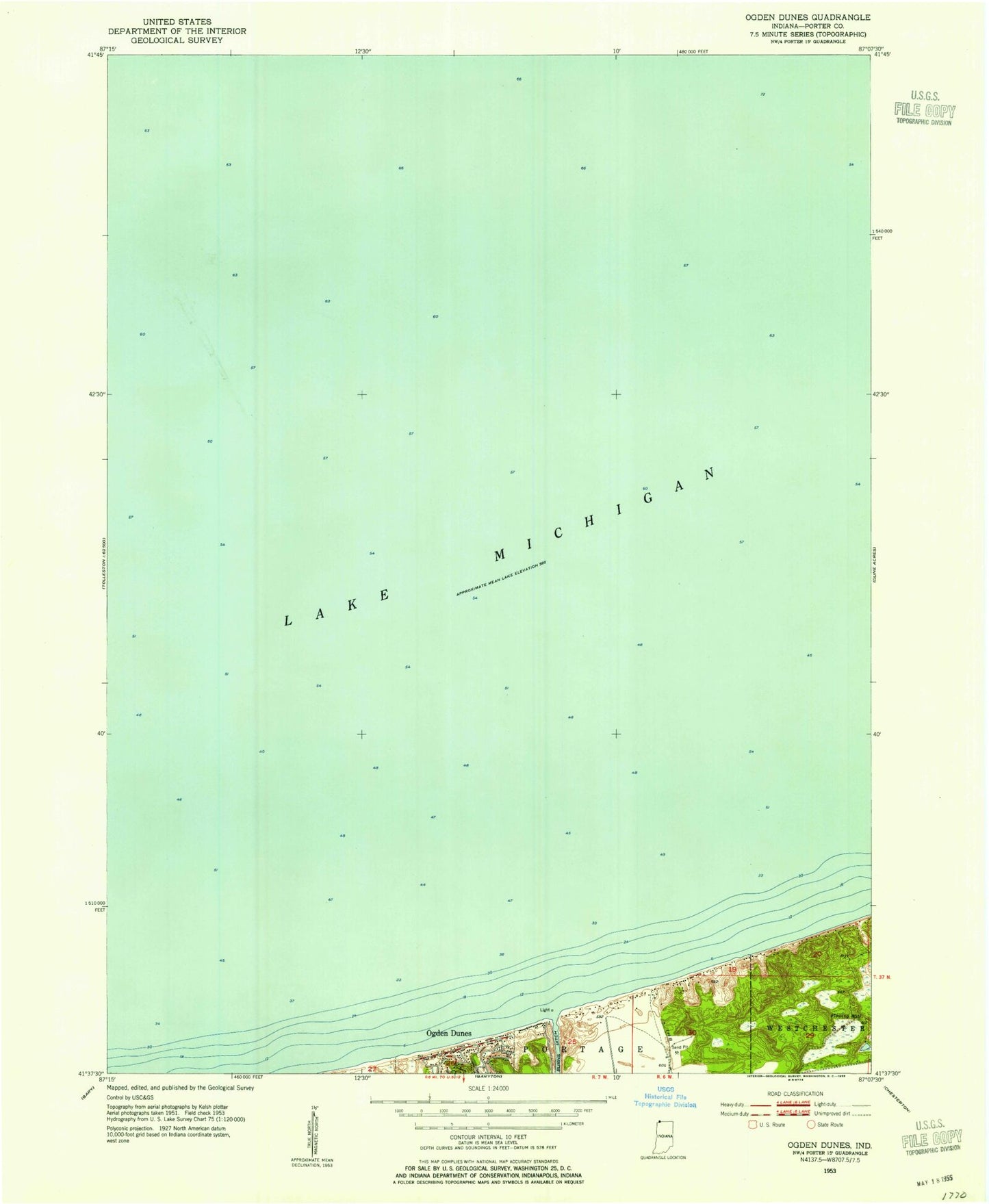
MyTopo
Classic USGS Ogden Dunes Indiana 7.5'x7.5' Topo Map
Couldn't load pickup availability
Historical USGS topographic quad map of Ogden Dunes in the state of Indiana. Map scale may vary for some years, but is generally around 1:24,000. Print size is approximately 24" x 27"
This quadrangle is in the following counties: Lake, Porter.
The map contains contour lines, roads, rivers, towns, and lakes. Printed on high-quality waterproof paper with UV fade-resistant inks, and shipped rolled.
Contains the following named places: Burns Harbor, Burns Harbor East Light, Burns Harbor North Light 2, Burns Harbor South Light 3, Burns Haror West Light 4, Burns International Harbor, Burns Waterway East Jetty North Light, Burns Waterway East Jetty South Light, Burns Waterway East Pier Light, Burns Waterway West Pier Inner Light, Burns Waterway West Pier Outer Light, East Harbor Arm, Port of Indiana, Town of Ogden Dunes, United States Steel Midwest Division Fire Department, West Harbor Arm