MyTopo
Classic USGS O'Hanlon Coulee Montana 7.5'x7.5' Topo Map
Couldn't load pickup availability
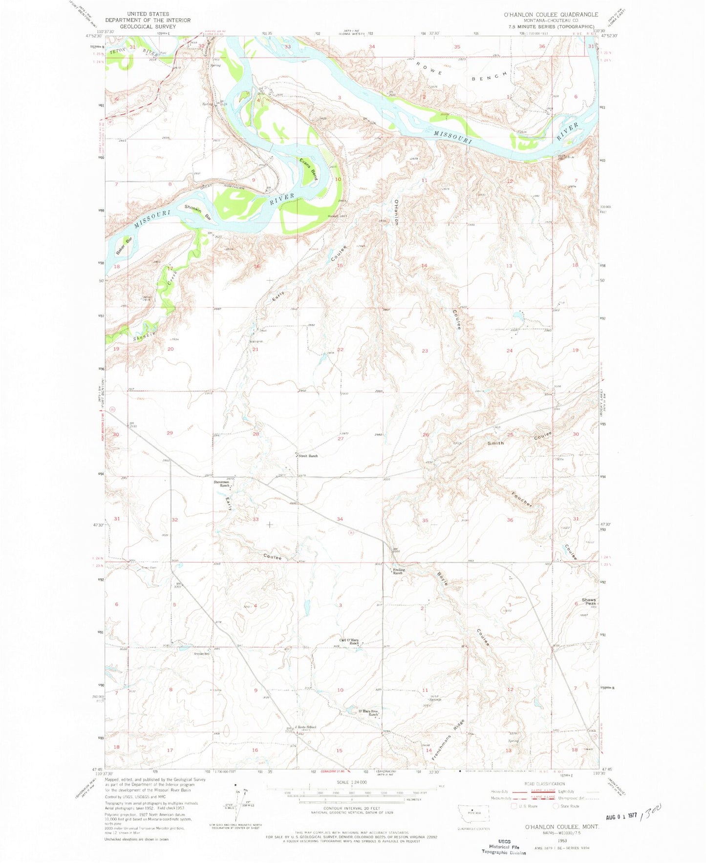
Historical USGS topographic quad map of O'Hanlon Coulee in the state of Montana. Map scale may vary for some years, but is generally around 1:24,000. Print size is approximately 24" x 27"
This quadrangle is in the following counties: Chouteau.
The map contains contour lines, roads, rivers, towns, and lakes. Printed on high-quality waterproof paper with UV fade-resistant inks, and shipped rolled.
Contains the following named places: 23N09E08AAAA01 Well, 23N09E10DBCD01 Spring, 23N09E11DAAA01 Spring, 24N09E28DDBA01 Well, Baker Bar, Boyle Coulee, Carl O'Hara Ranch, Crocon du Nez, Early Coulee, Evans Bend, Foucher Coulee, Freiling Ranch, Frenchmans Ridge, Liscum, O'Hanlon Coulee, O'Hara Brothers Ranch, Rode School, Shaws Peak, Shonkin Bar, Shonkin Creek, Smith Coulee, Stevenson Ranch, Streit Ranch


