MyTopo
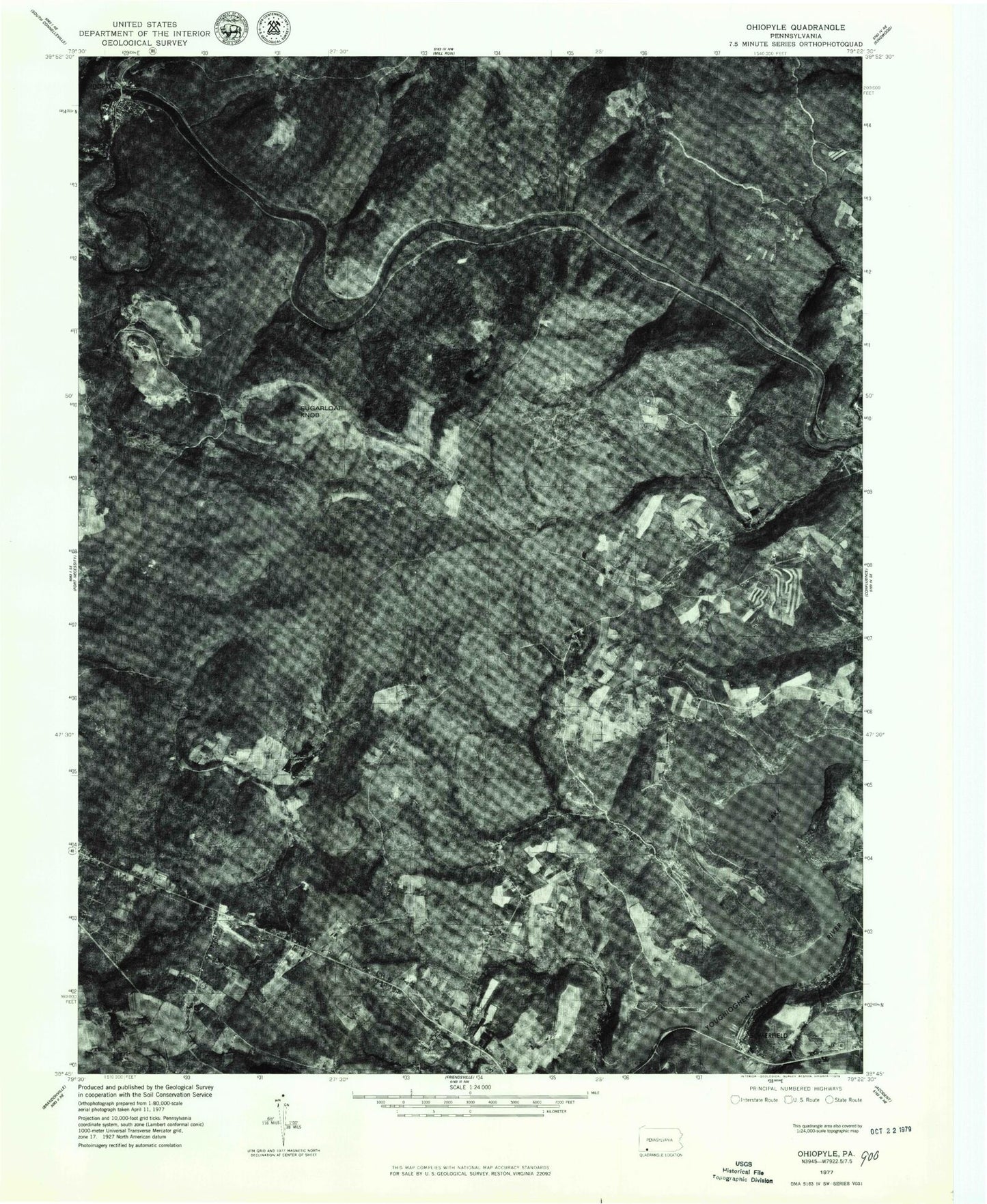
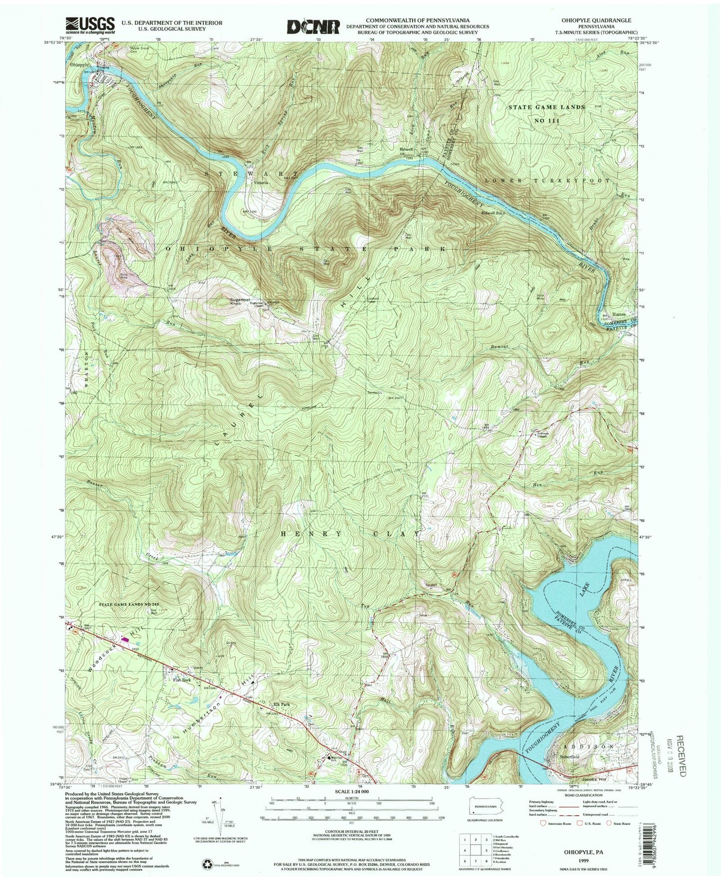
USGS Classic Ohiopyle Pennsylvania 7.5'x7.5' Topo Map
Couldn't load pickup availability
Historical USGS topographic quad map of Ohiopyle in the state of Pennsylvania. Scale: 1:24000. Print size: 24" x 27"
This quadrangle is in the following counties: Fayette, Somerset.
The map contains contour lines, roads, rivers, towns, lakes, and grids including latitude / longitude and UTM / MGRS. Printed on high-quality waterproof paper with UV fade-resistant inks.
Contains the following named places: Bidwell Station, Camp Run, Drake Run, Elk Park, Flat Rock, Grace Church, Humberton Hill, Huston, Jacobs Hill, Johnson Chapel, Laurel Run, Lick Run, Long Run, Sugar Grove Cemetery, Marclay School, Meadow Run, Ohiopyle, Ohiopyle State Park, Peck Run, Ramcat Run, Rock Spring Run, Sheepskin Run, Somerfield, State Game Lands Number 111, Sugarloaf Chapel, Sugarloaf Knob, Tub Run, Union Chapel, Woodcock Hill, Hall Run, Horseshoe Bend, Ohiopyle Falls, Ohiopyle Gorge, Bidwell, Victoria, Rock Spring School, Oak Grove School (historical), Rockville School, Flanigan School, Beaver Creek School, Pike School, Boal School, Sickle Ridge School, Sugarloaf Fire Tower, State Game Lands Number 265, Borough of Ohiopyle, Township of Henry Clay, Markleysburg Henry Clay Volunteer Fire Department Station 27 Substation, Ohiopyle Stewart Volunteer Fire Department Station 31, Marclay Community Ambulance Service, Ohiopyle Post Office, Bidwell Station Run, Johnson Chapel Cemetery, Griffin Stand Cemetery, Beaver Creek Cemetery, Tressler Farm Cemetery, Boyd Mitchell Cemetery, Bird - Burd Cemetery, Jacob Humberston Family Cemetery, Sugar Loaf Cemetery, Boal Cemetery