MyTopo
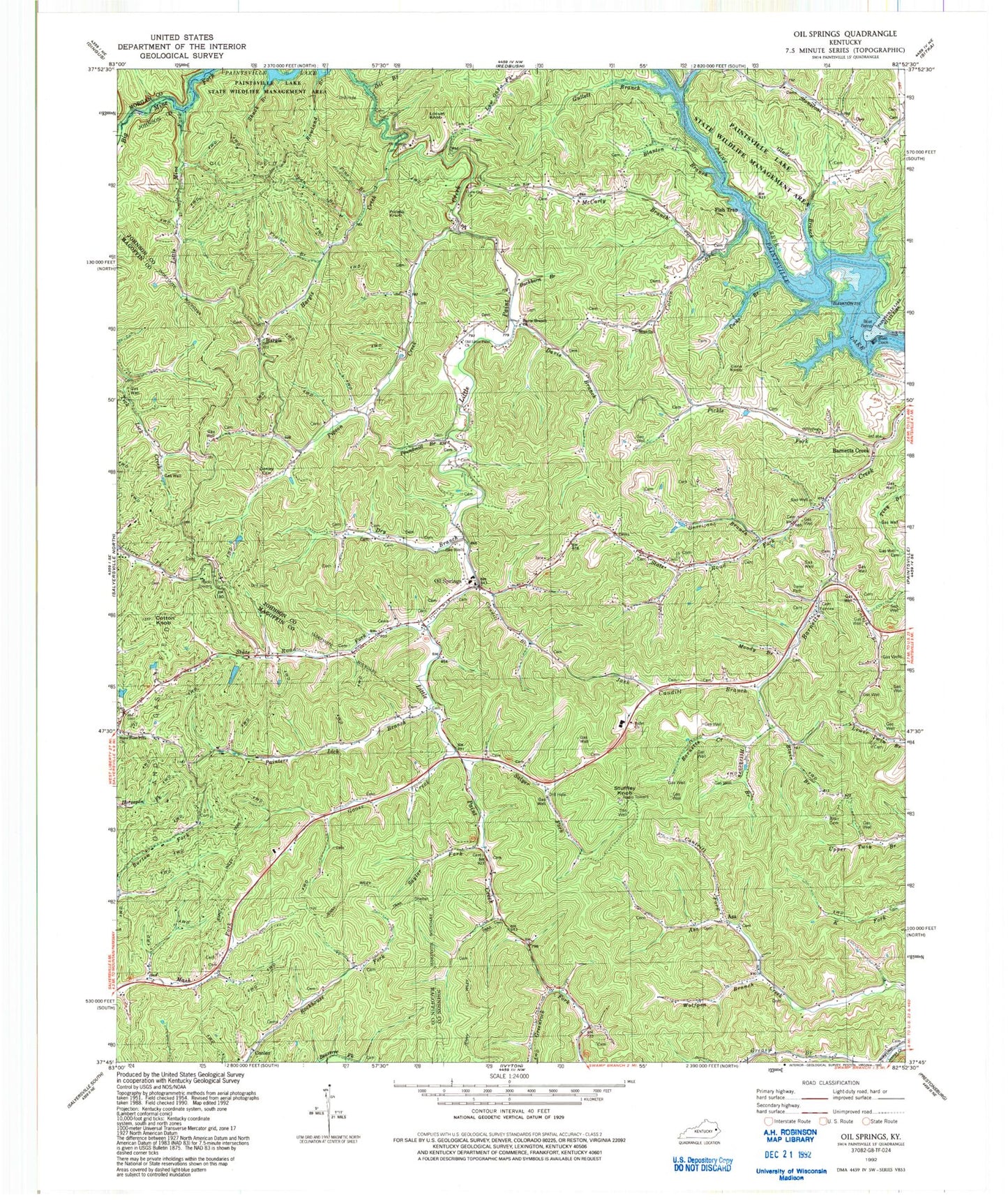
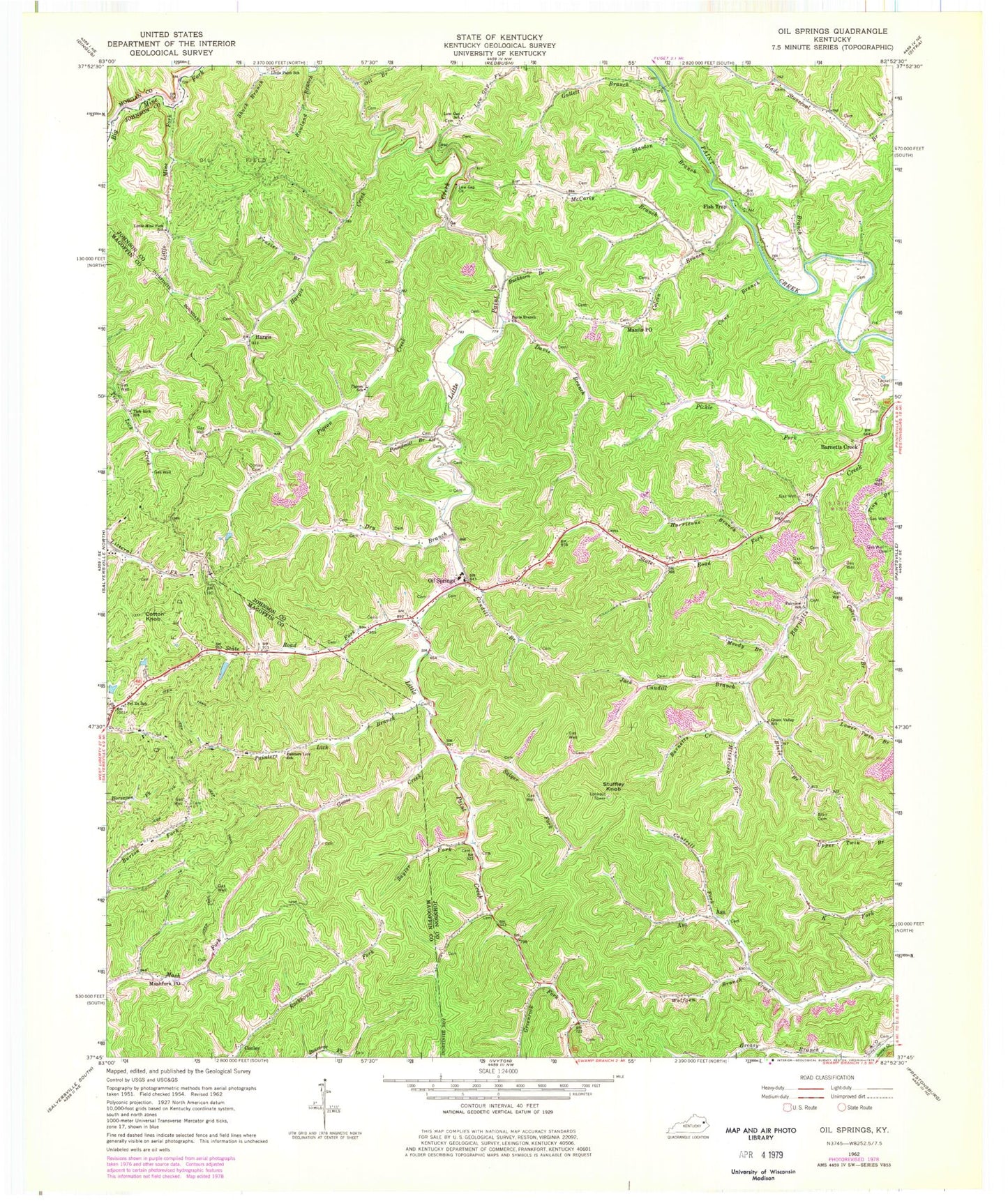
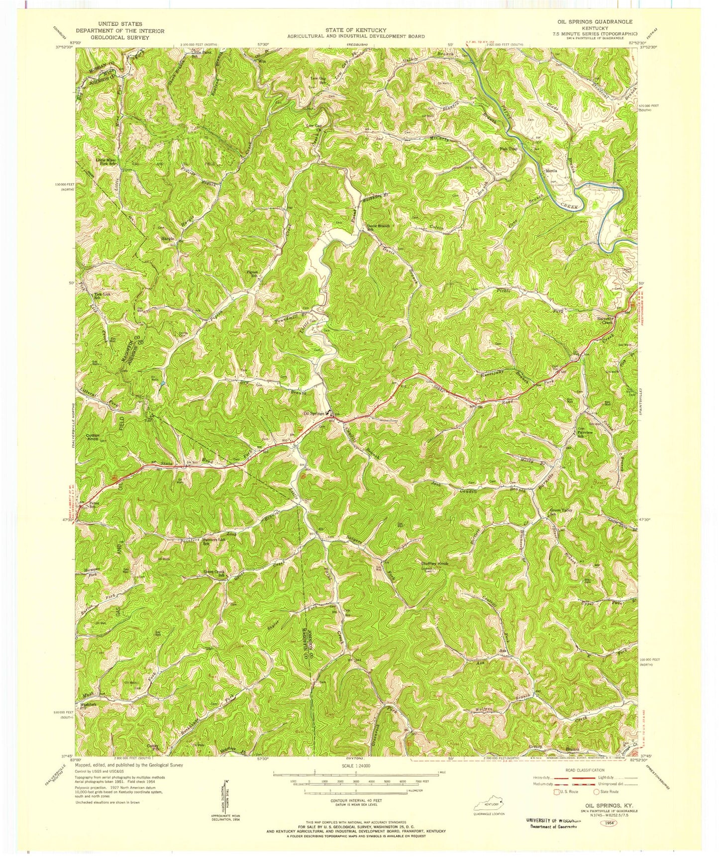
Classic USGS Oil Springs Kentucky 7.5'x7.5' Topo Map
Couldn't load pickup availability
Historical USGS topographic quad map of Oil Springs in the state of Kentucky. Map scale may vary for some years, but is generally around 1:24,000. Print size is approximately 24" x 27"
This quadrangle is in the following counties: Johnson, Magoffin, Morgan.
The map contains contour lines, roads, rivers, towns, and lakes. Printed on high-quality waterproof paper with UV fade-resistant inks, and shipped rolled.
Contains the following named places: Adams Cemetery, Asa, Ballot Church, Barnetts Creek, Blair Branch, Blair Cemetery, Blanton Branch, Buckhorn Branch, Cane Branch, Cane Knob, Cantrill Fork, Caudill Branch, Caudill Fork, Colvin Branch, Conley, Conley Cemetery, Cotton Knob, Davis Branch, Davis Branch Church, Dry Branch, Fairview Church, Fairview School, Fish Trap, Frank Prater Cemetery, Frazier Branch, Glade Branch, Goose Creek, Goose Creek School, Green Valley School, Gullett Branch, Hargis, Hargis Creek, Hitchcork Branch, Hurricane Branch, Jack Caudill Branch, Little Mine Fork, Little Mine Fork School, Locust Knob, Low Gap School, Low Gap United Baptist Church, Manila, Manila Post Office, Marshal Early Bridge, Mash Fork Missionary Baptist Church, Mashfork Post Office, McCarty Branch, Moody Branch, Oil Branch, Oil Springs, Oil Springs Church, Oil Springs Division, Oil Springs Post Office, Oil Springs Volunteer Fire Department, Old Little Paint Church, Painters Lick, Painters Lick Branch, Painters Lick School, Pet Ex School, Pickle Fork, Piegon Church, Pigeon Creek, Pigeon School, Pine Branch, Potato Knob, Poundmill Branch, Rocky Branch, Rowland Branch, Salyer Fork, Saylor Fork, Shack Branch, Span Branch, State Road Fork, State Road Fork Church, Stuffley Knob, Tackett Cemetery, Tick Lick School, Wheelersburg Post Office, Wolfpen Branch, ZIP Codes: 41238, 41256


